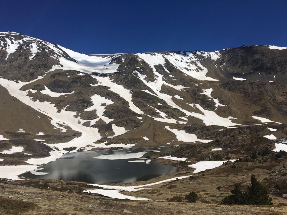
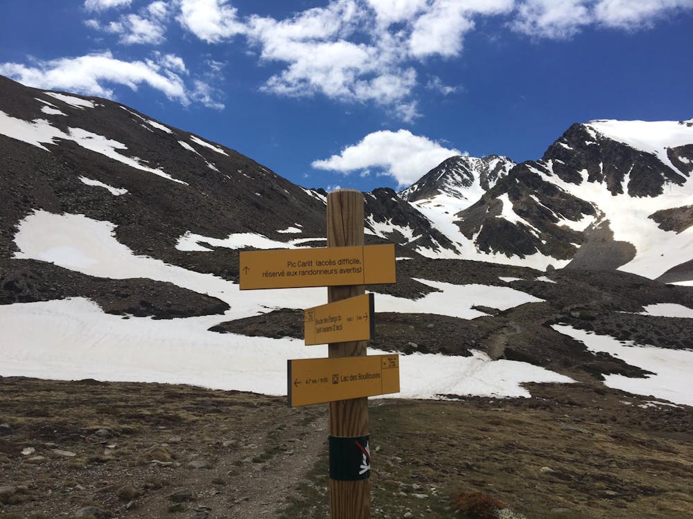
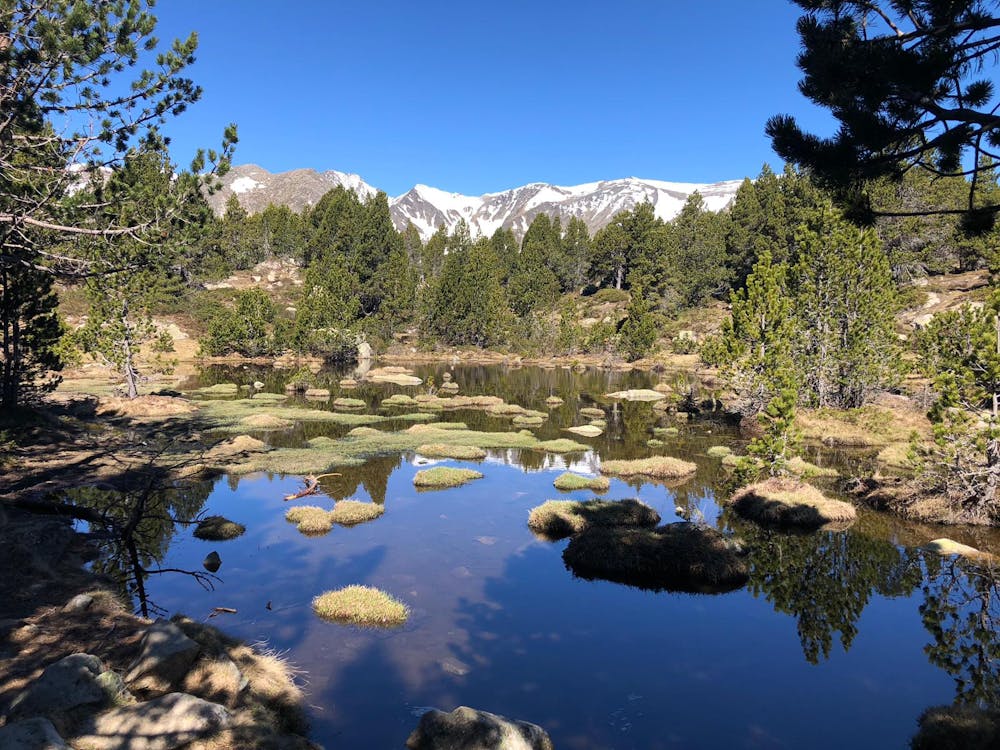
Carlit
Ascensió al Carlit per la cresta
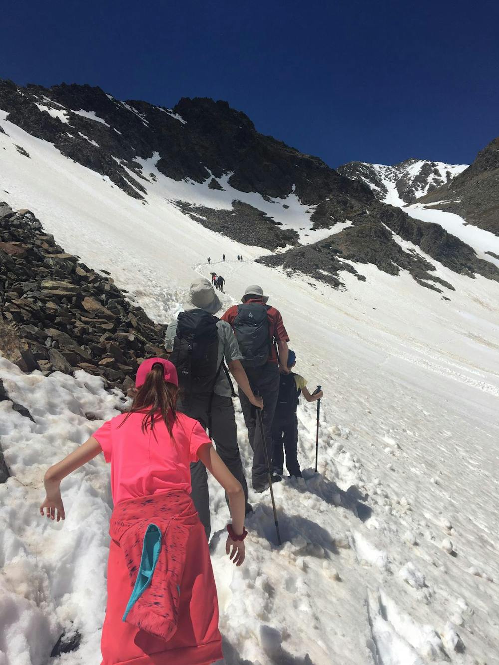
Hiking Moderate
- Distance
- 15 km
- Ascent
- 962 m
- Descent
- 963 m
- Duration
- 4-5 hrs
- Low Point
- 2 km
- High Point
- 2.9 km
- Gradient
- 19˚

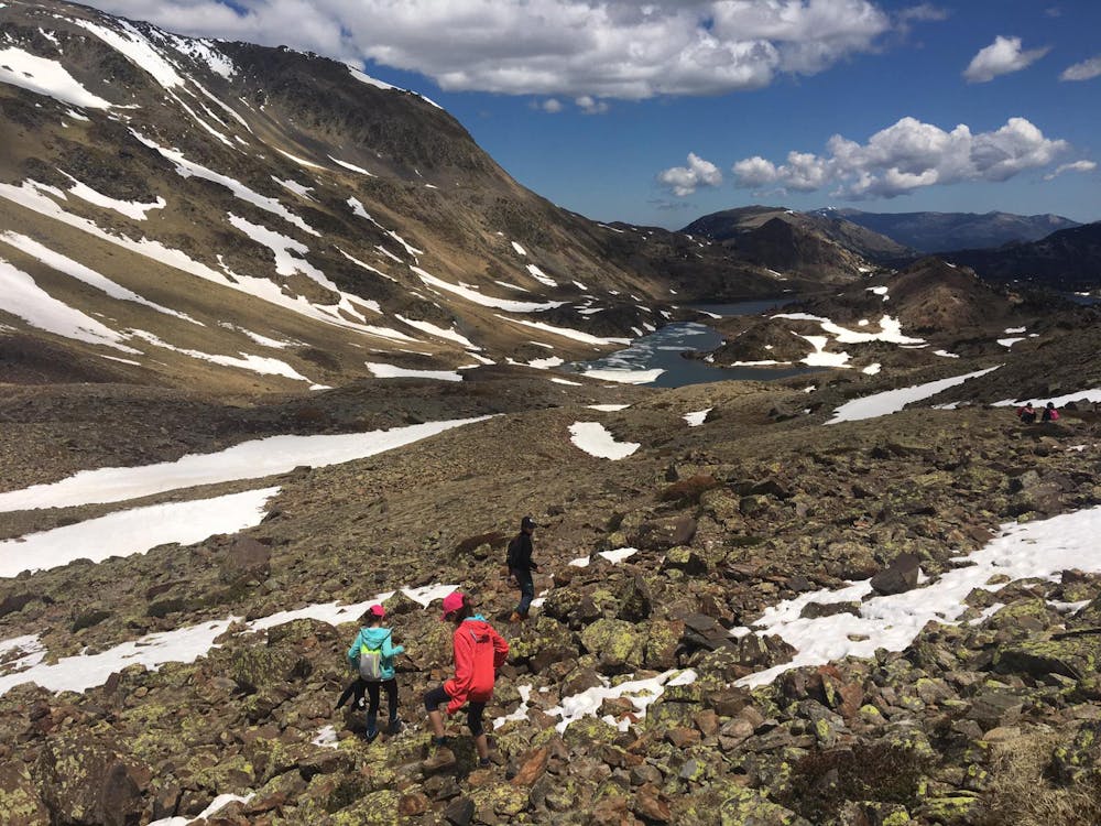
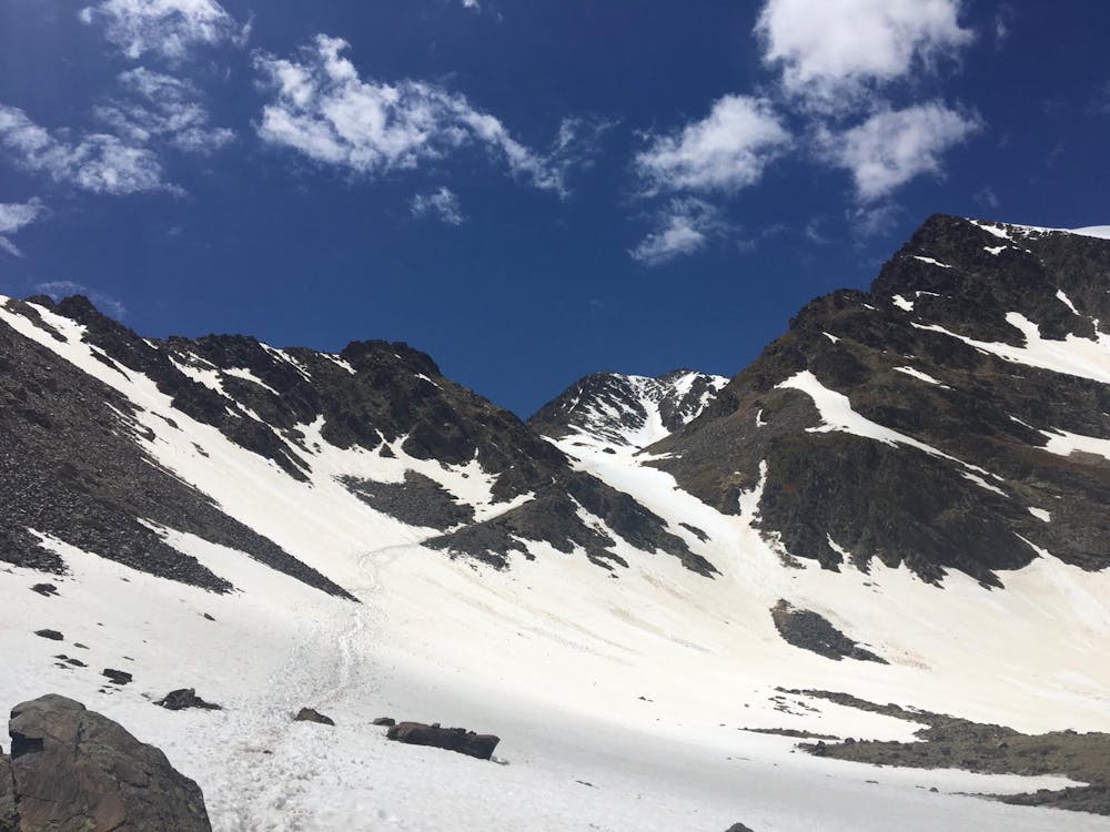
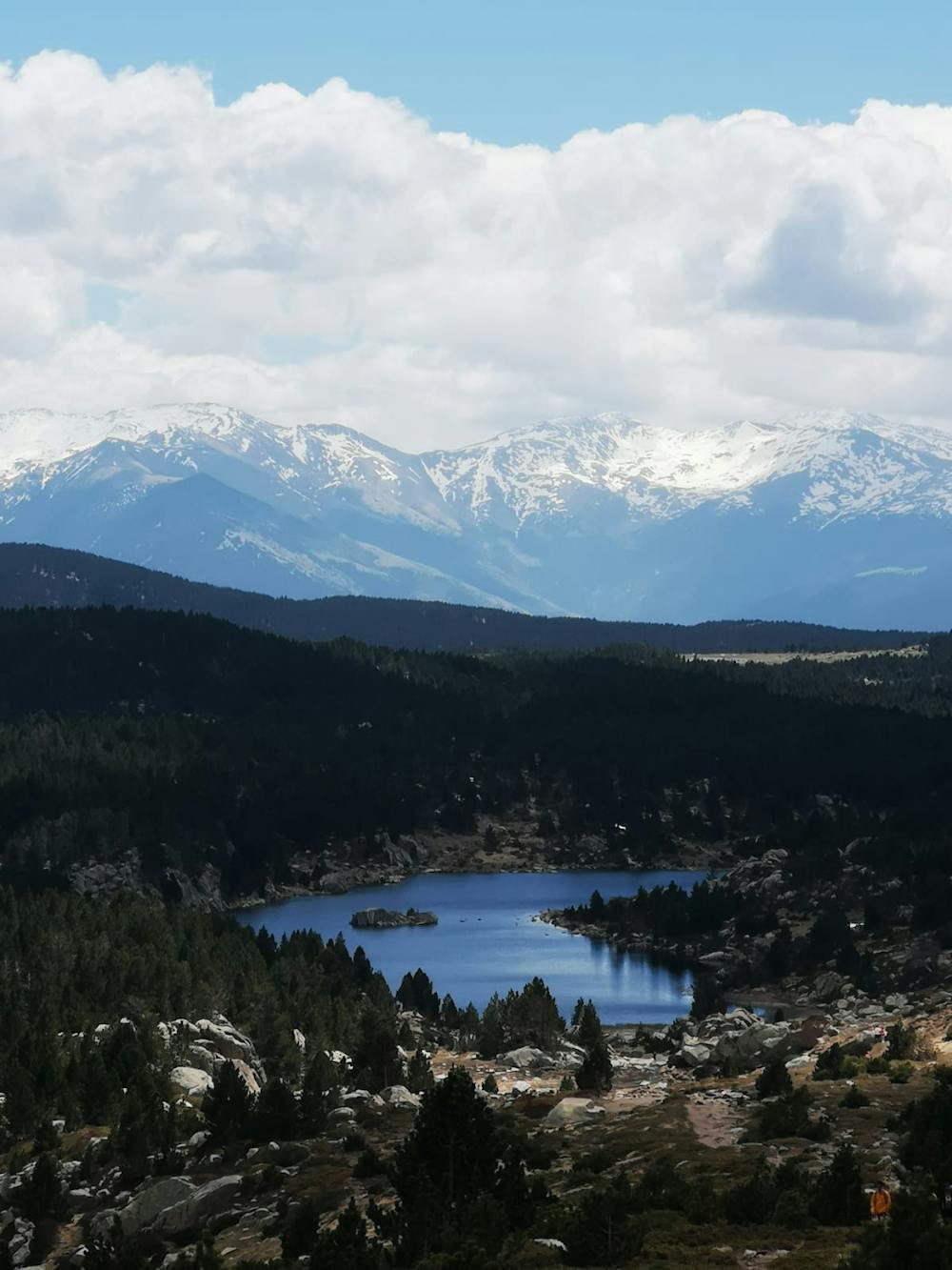
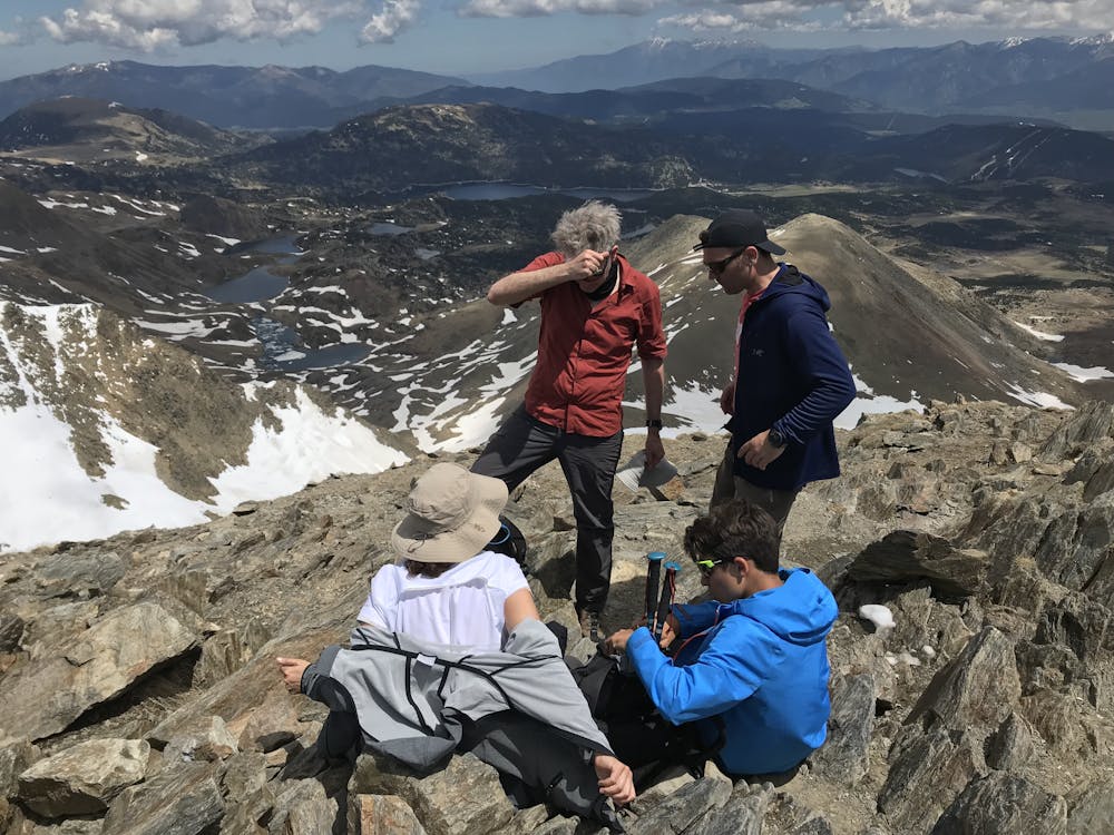
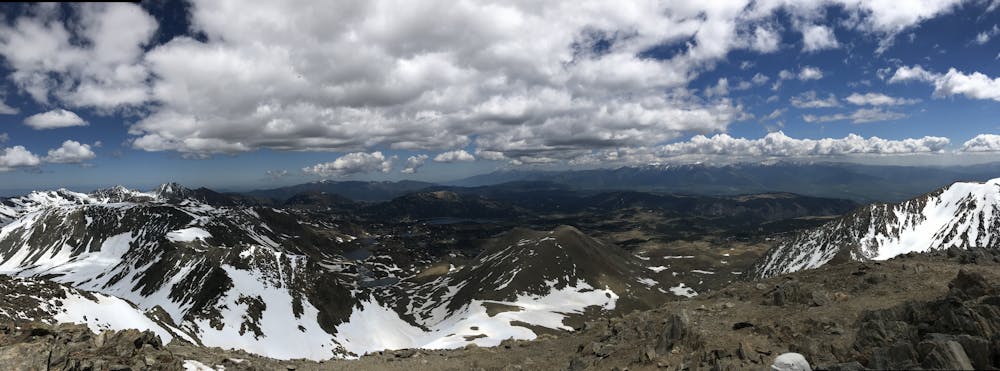
This is a popular hiking route which is generally considered to be moderate. It's not remote, it features medium exposure and is typically done between May and October. From a low point of 2 km to the maximum altitude of 2.9 km, the route covers 15 km, 962 vertical metres of ascent and 963 vertical metres of descent.
- •
- •
- •
- •
- •
- •
- •
- •
- •
- •
- •
Description
Hiking d'un dia al Carlit. Travessa llarga i pesada per fer amb nens o persones no acostumades a l'alta muntanya.
Difficulty
Moderate
Hiking along trails with some uneven terrain and small hills. Small rocks and roots may be present.
Medium Exposure

The trail contains some obstacles such as outcroppings and rock which could cause injury.
Remoteness

Close to help in case of emergency.
Best time to visit
Features
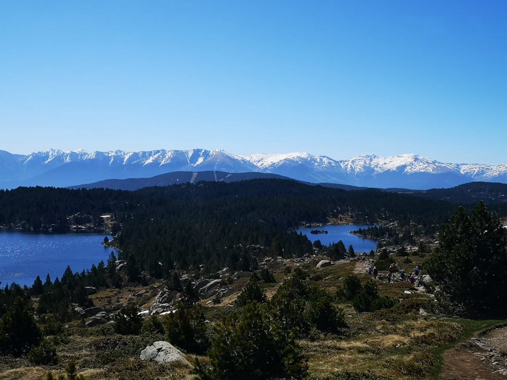
- Picturesque
- Summit Hike
- Wild flowers