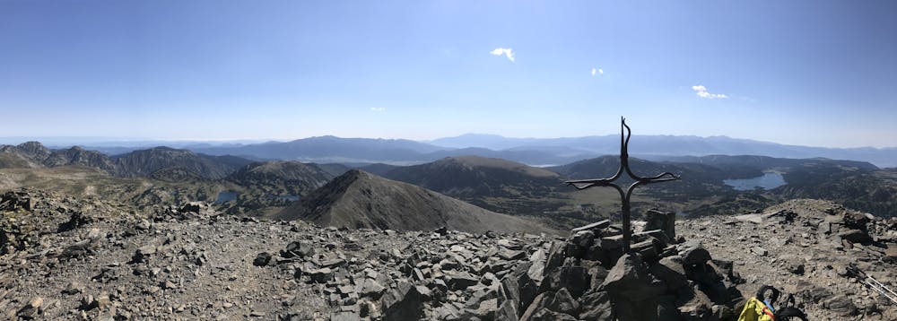
Els Perics
Trekking circular Els Perics en 4 dies/3 nits
Hiking Moderate
- Distance
- 53 km
- Ascent
- 3 km
- Descent
- 3 km
- Duration
- 1 day +
- Low Point
- 1.9 km
- High Point
- 2.8 km
- Gradient
- 21˚

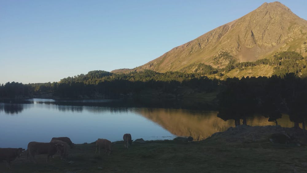
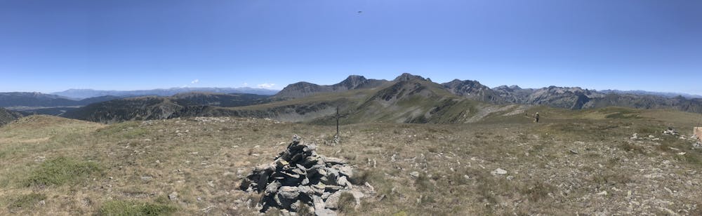
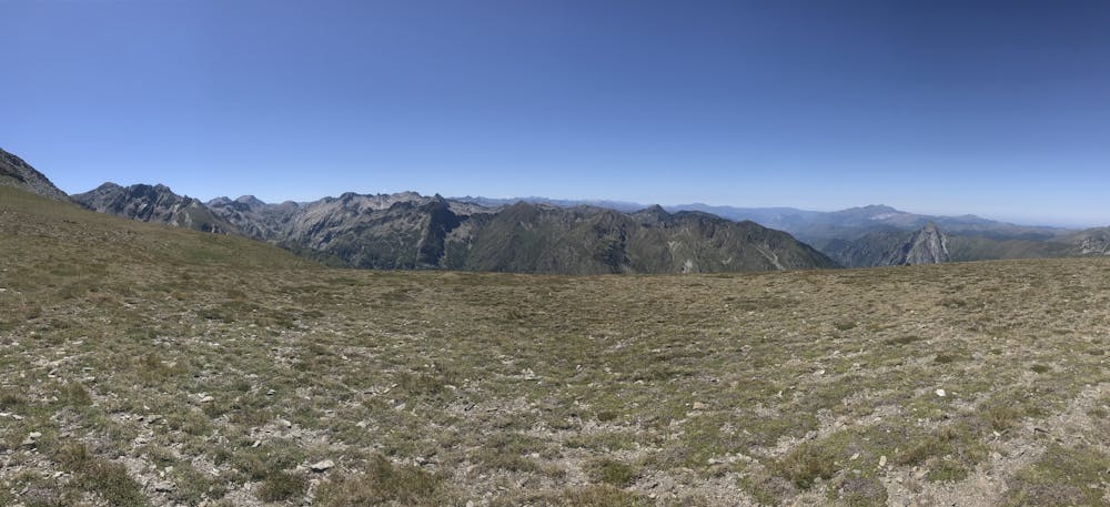
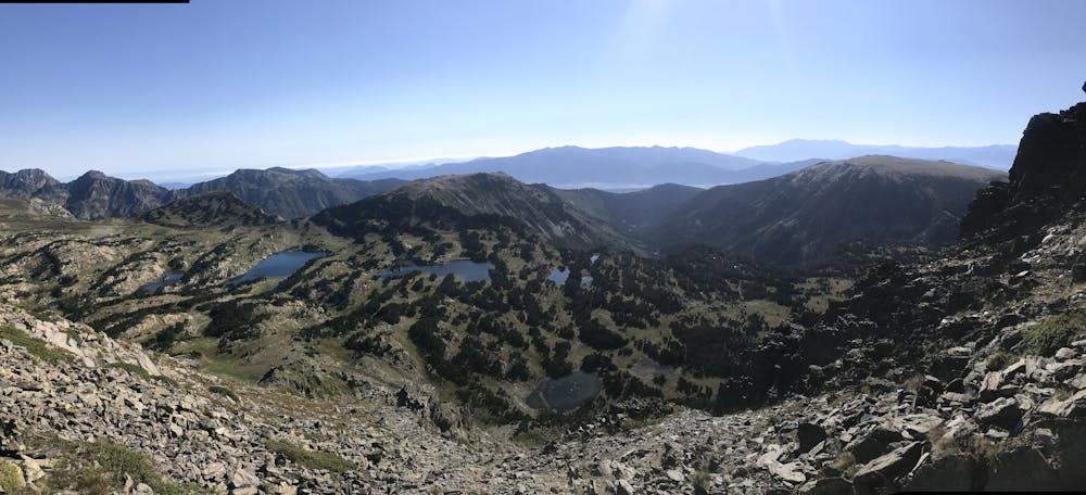
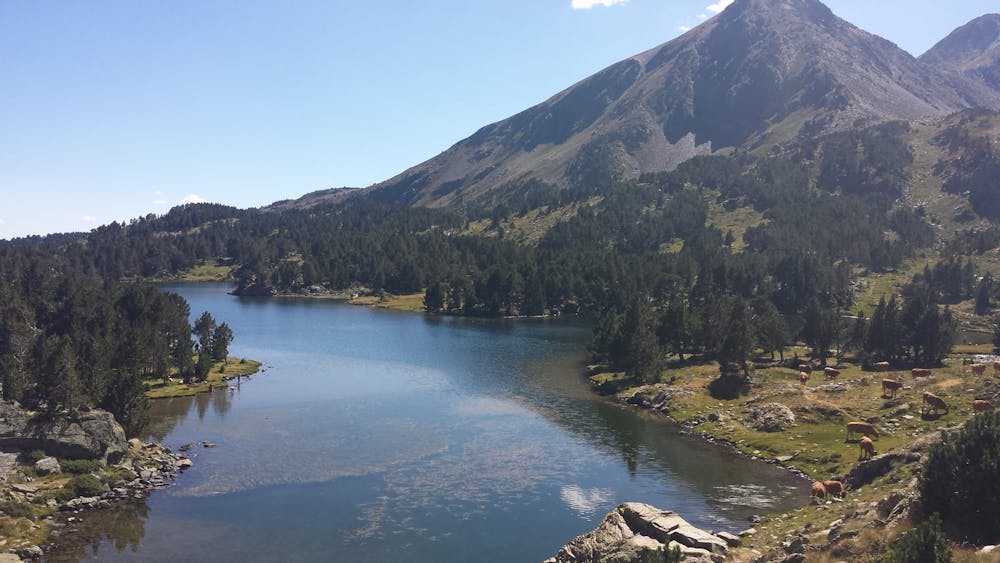
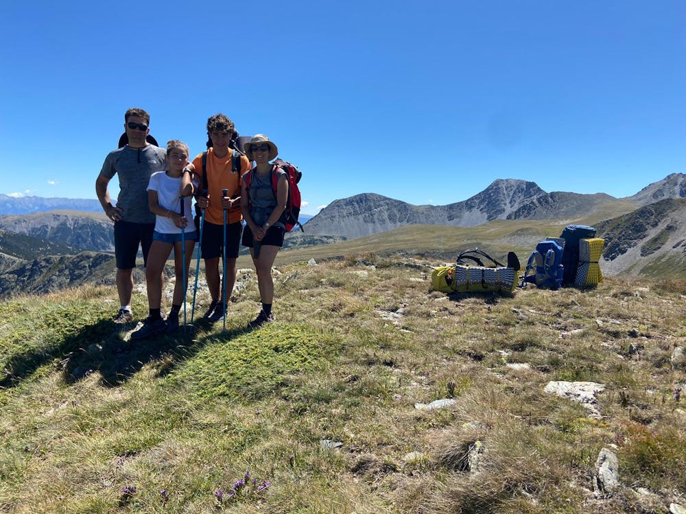
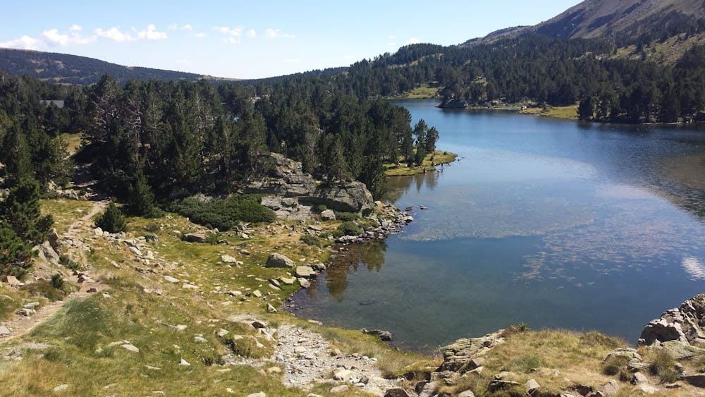
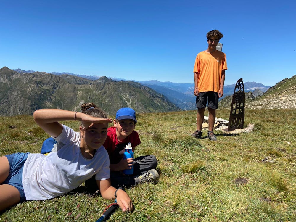
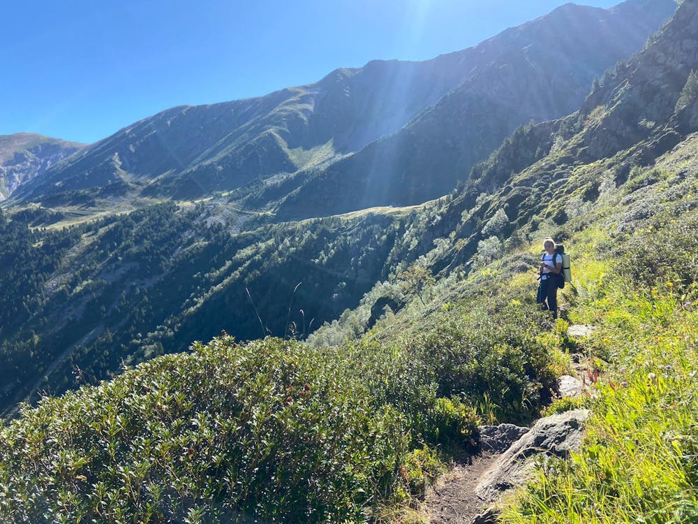
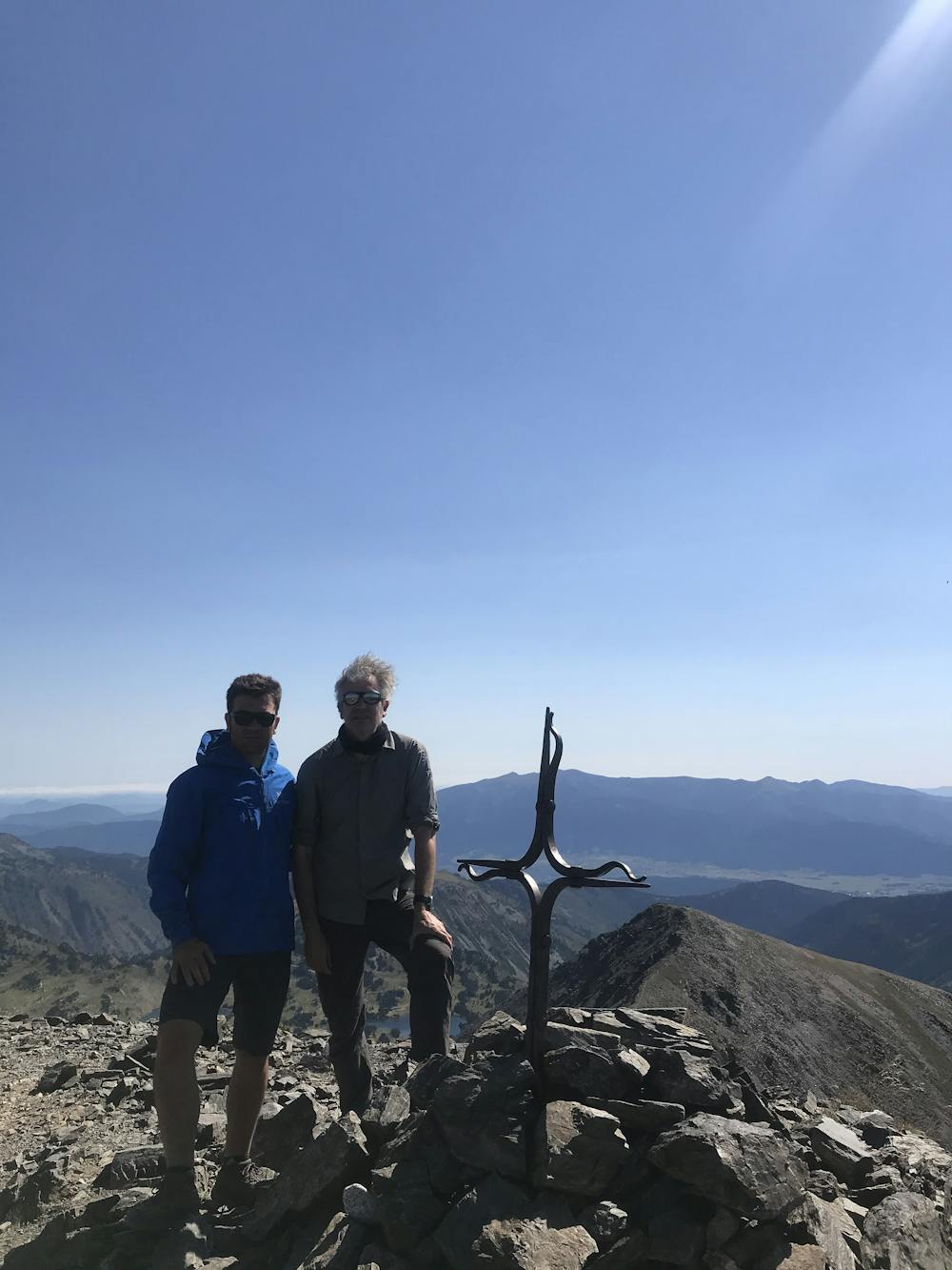
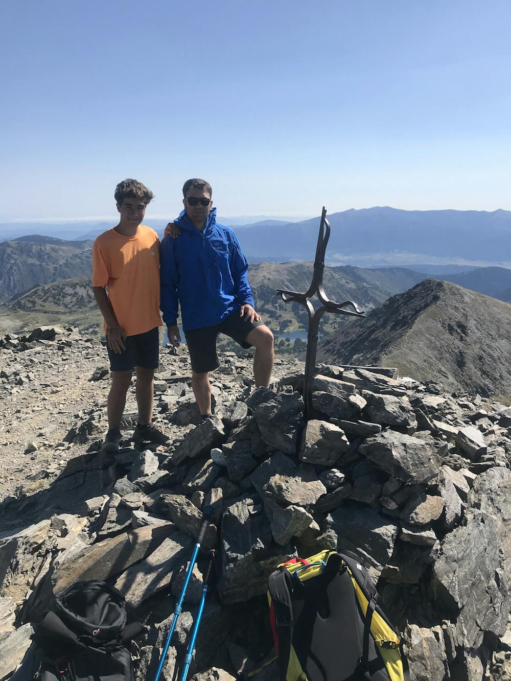
Hiking circular als Perics amb inici a les Bouillouses dividit en 3 etapes, fent nit o acampant als refugis de Besines, d'En Beys i Camporells. Perfecte per fer amb nens, llarg però poc exigent. Molt aconsellable fer-lo en direcció horària. Els refugis fan horari francès, a les 7 ja no donen sopar.
- •
- •
- •
- •
- •
- •
- •
- •
- •
- •
- •
- •
- •
Difficulty
Moderate
Hiking along trails with some uneven terrain and small hills. Small rocks and roots may be present.
Low Exposure

The path is on completely flat land and potential injury is limited to falling over.
Remoteness

Away from help but easily accessed.
Best time to visit
Features
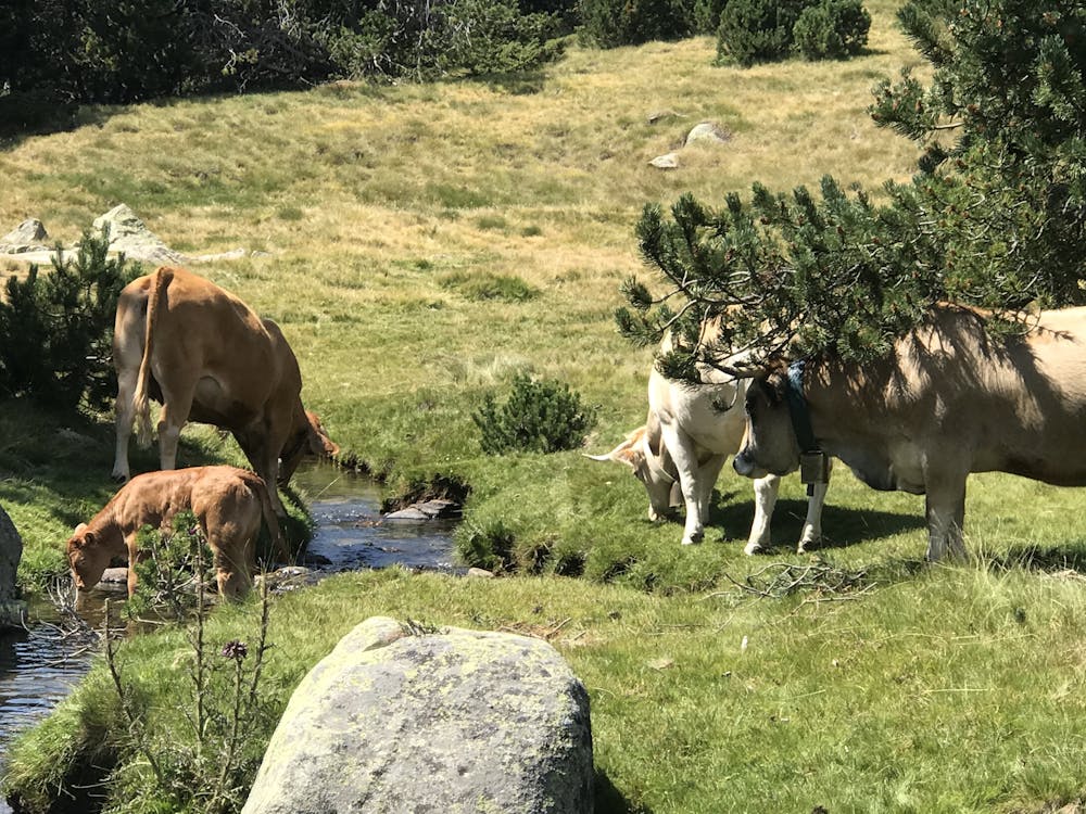
- Alpine
- Picturesque
- Summit Hike
- Wild flowers
- Family friendly