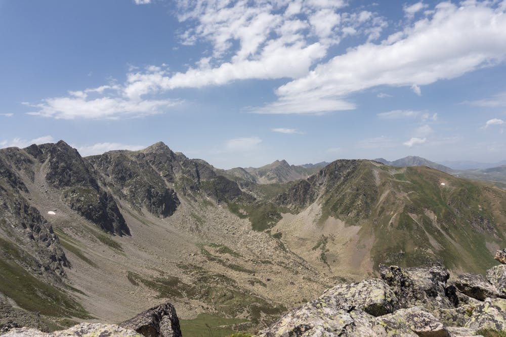
Walking up to Pic de la Mine
Surprisingly great route along Porté-Puymorens ski area
Hiking Moderate
- Distance
- 12 km
- Ascent
- 823 m
- Descent
- 824 m
- Duration
- 3-4 hrs
- Low Point
- 1.9 km
- High Point
- 2.7 km
- Gradient
- 14˚

ENGLISH | FRANÇAIS | ESPAÑOL
Description
EN:
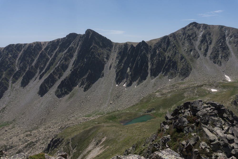
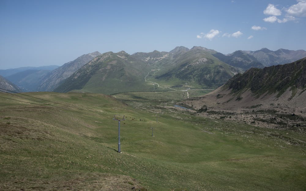
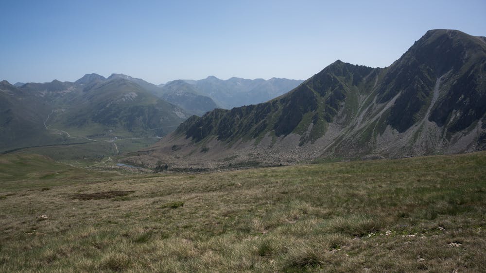
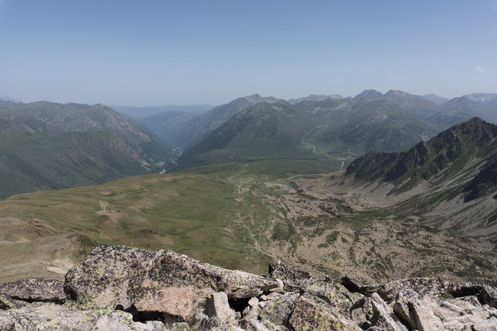
Nice summit and lovely views over this area of the Pyrenes range: you will have close to you the mountains of Andorra next to Ariège and the Cerdagne ones: a great and tasty mix!FR:
La route est bien panoramique et vous permettra apprécier les nuances des différents secteurs de la chaîne des Pyrénées: l'Andorre, l'Ariège et les Pyrénées Orientales et la Cerdagne.ES:
Recorrido muy panorámico que te permitirá descubrir las grandes cimas entre Andorra, el Ariège y los Pirineos Orientales (Cerdanya).Additional info here: https://www.nevasport.com/eMotion365/art/63006/rutas-pirineo-frances/
Difficulty
Moderate
Hiking along trails with some uneven terrain and small hills. Small rocks and roots may be present.
Medium Exposure

The trail contains some obstacles such as outcroppings and rock which could cause injury.
Remoteness

Close to help in case of emergency.
Best time to visit
Features
- Alpine
- Wildlife
- Picturesque
- Summit Hike
- Dog friendly
- Family friendly