dôme de la mine
dôme de la mine VTT rando facile
Mountain Biking Moderate
- Distance
- 16 km
- Ascent
- 821 m
- Descent
- 822 m
- Duration
- 1-2 hrs
- Low Point
- 1.6 km
- High Point
- 2.4 km
- Gradient
- 10˚

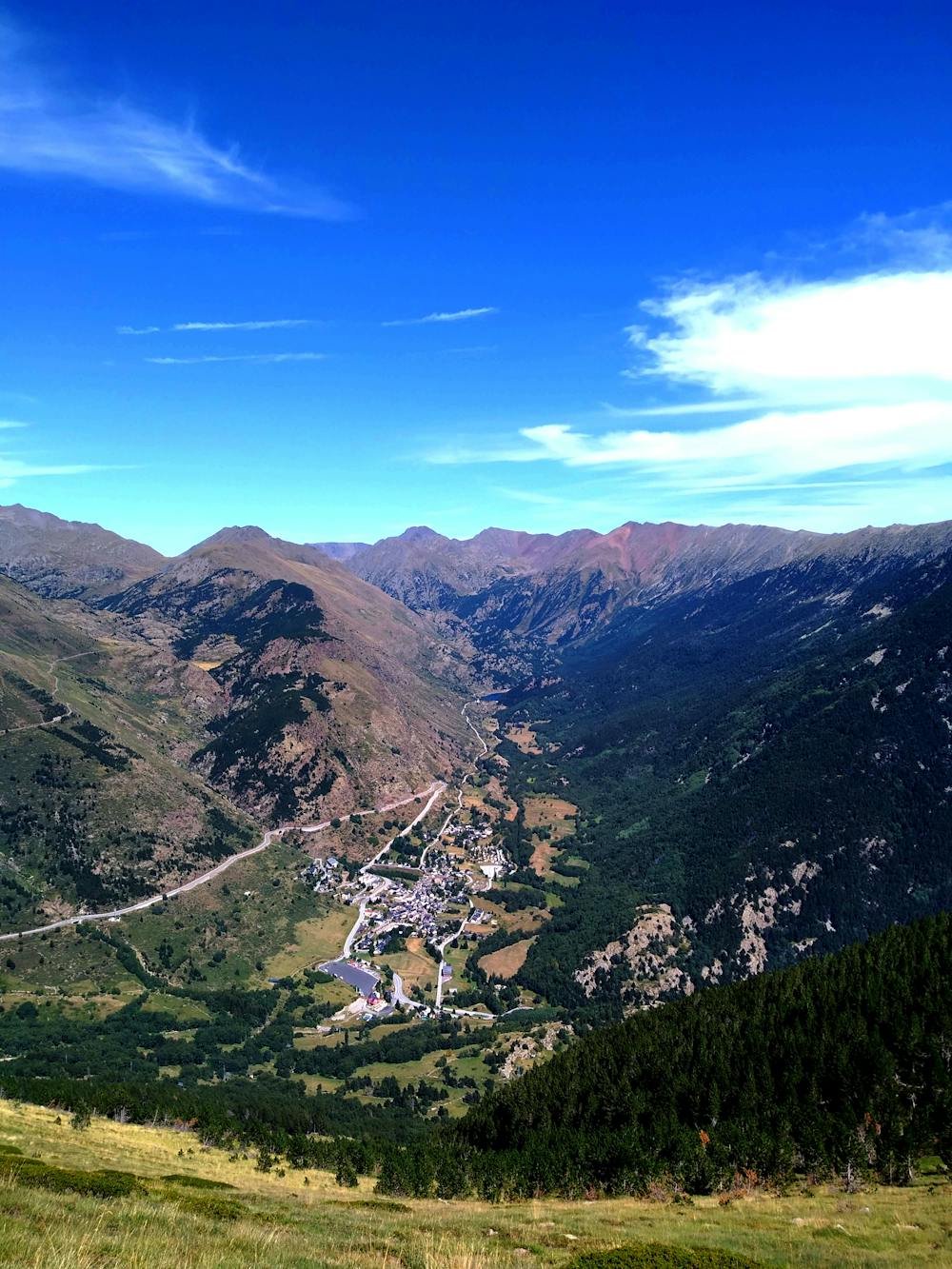
This is a popular mountain biking route which is generally considered to be moderate. It's not remote, it features medium exposure and is typically done between May and November. From a low point of 1.6 km to the maximum altitude of 2.4 km, the route covers 16 km, 821 vertical metres of ascent and 822 vertical metres of descent.
- •
- •
Description
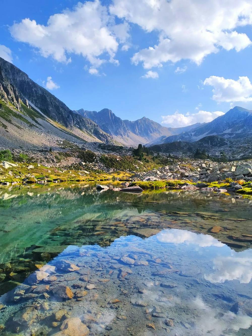
facile avec passage au lacs des marmotte
Difficulty
Moderate
Mostly stable trail tread with some variability, with unavoidable obstacles 8in/20cm tall or less. Other obstacles such as rock gullies and steep sections may exist. Ideal for lower intermediate riders.
Medium Exposure

The trail contains some obstacles such as outcroppings and rock which could cause injury.
Remoteness

Close to help in case of emergency.
Best time to visit
Features
- Flow