4.4 km away
Pic del Maià to Peretol

Long backcountry route for experienced riders
Moderate Ski Touring
- Distance
- 2.9 km
- Ascent
- 3 m
- Descent
- 602 m
Tribulations autours du Pedrons et Font Negra
Ski Touring Moderate

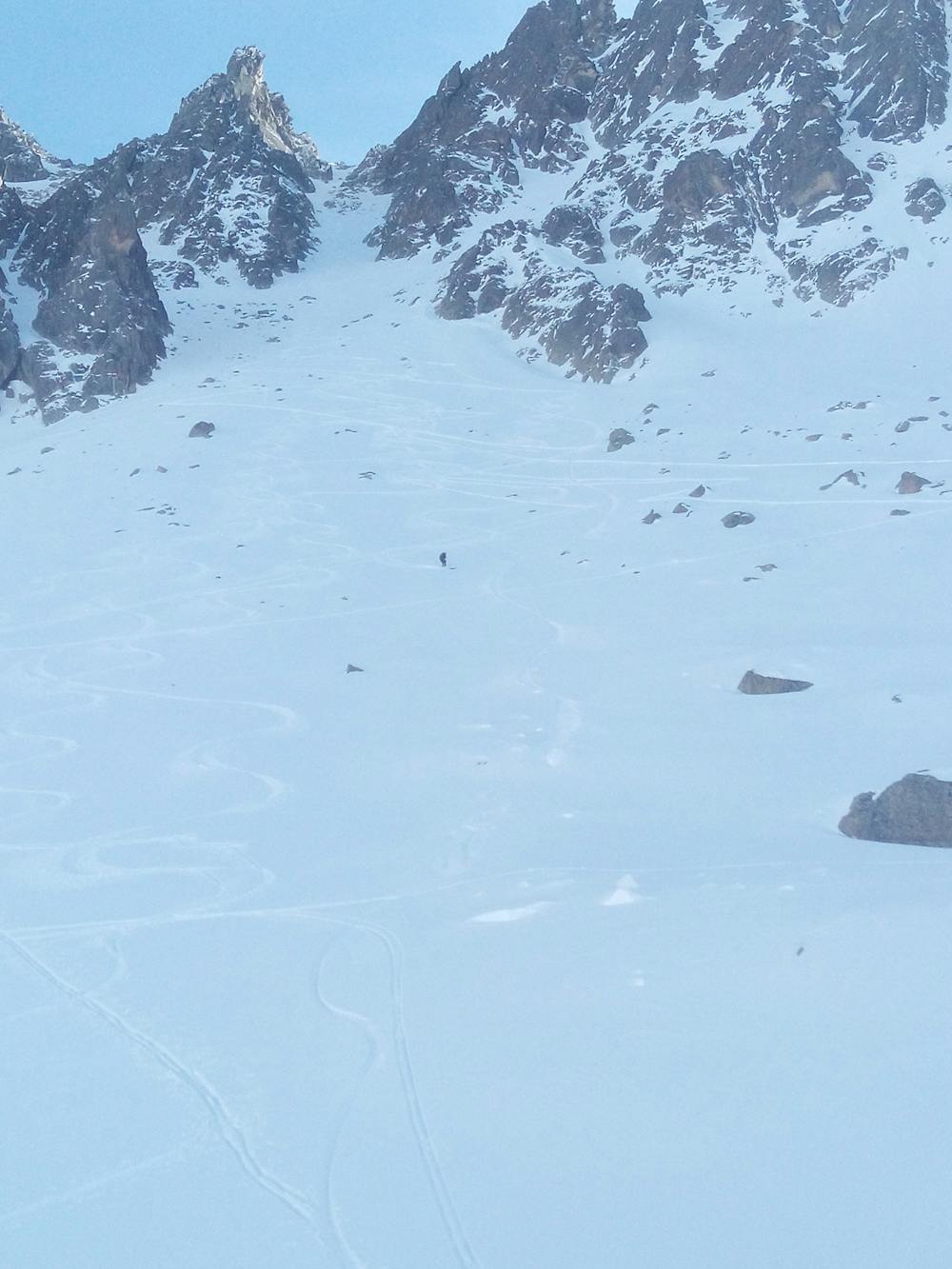
This is a popular ski touring route which is generally considered to be moderate. It's remote, it features medium exposure (e2) and is typically done in undefined. From a low point of 1.7 km to the maximum altitude of 2.7 km, the route covers 12 km, 1215 vertical metres of ascent and 1231 vertical metres of descent. It's graded 4.3 and Labande grade 5. You'll need skins to complete it safely.
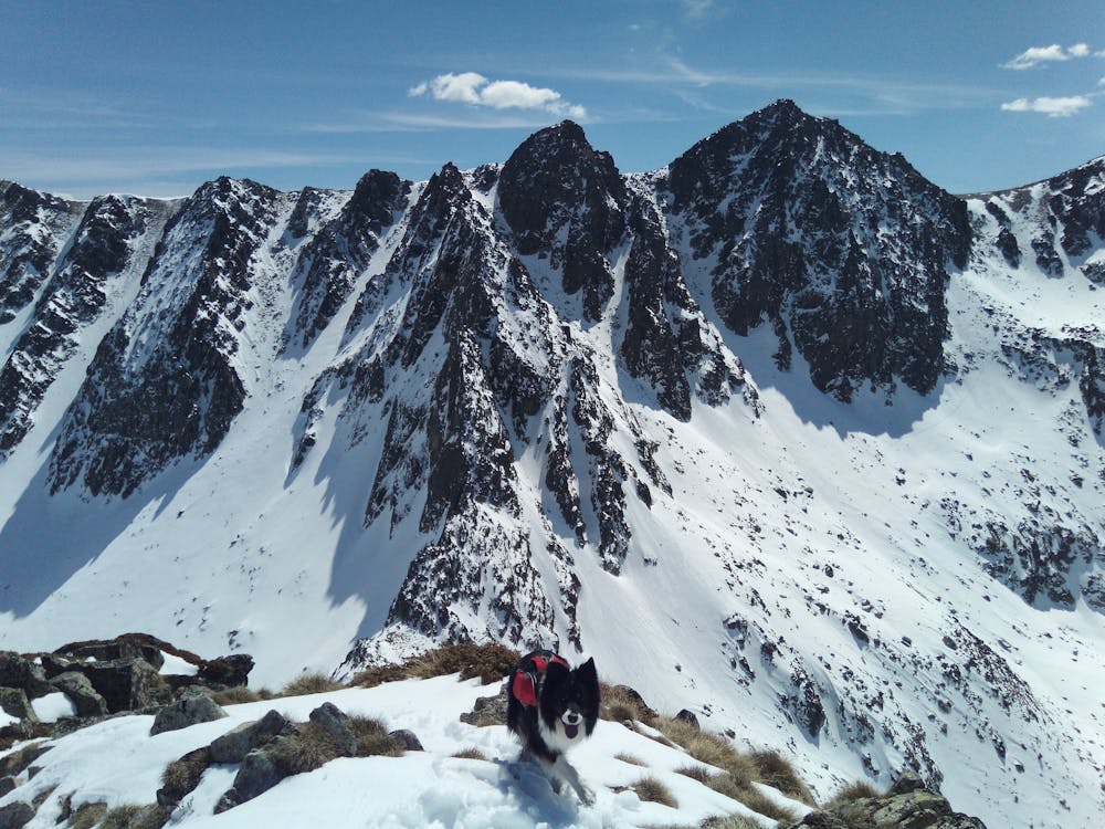
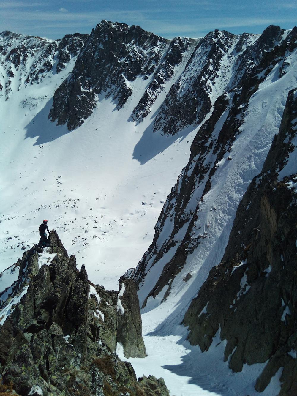
Montée au Pedrons depuis la route versant fr par épaule NNW et descente dans couloir SE sous la paroi sommitale. Remontée partielle et descente dans un couloir N encore en neige fraiche. Retour voiture par vallon.
Moderate
Slopes become slightly steeper at around 25-30 degrees.

As well as the slope itself, there are some obstacles (such as rock outcrops) which could aggravate injury.
Away from help but easily accessed.
4.4 km away
Long backcountry route for experienced riders
Moderate Ski Touring
7.3 km away

A long route and freeride with stunning alpine scenery
Moderate Ski Touring
8.1 km away

This half day skin tour ascends to the top of one of the most emblematic peaks in all of Andorra and has hosted ISMF World cup events, amongt others.
Moderate Ski Touring