4 Day Vanoise Glaciers Hike
Pralognan-la-Vanoise
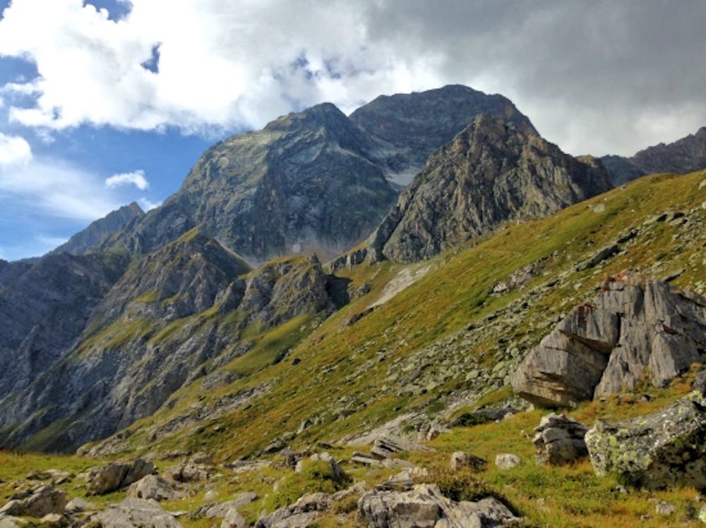
Vanoise Massif
Superb Hiking trip with "Trekking Nature Experience", professionals mountain leaders.
Hiking Difficult
- Distance
- 69 km
- Ascent
- 3.7 km
- Descent
- 3.7 km
- Duration
- 1 day +
- Low Point
- 1.4 km
- High Point
- 2.9 km
- Gradient
- 13˚

This is a popular hiking route which is generally considered to be difficult. It's remote, it features medium exposure and is typically done between June and September. From a low point of 1.4 km to the maximum altitude of 2.9 km, the route covers 69 km, 3704 vertical metres of ascent and 3689 vertical metres of descent.
Description
Wild and Pureness Alpine Landscape
Difficulty
Difficult
Hiking trails where obstacles such as rocks or roots are prevalent. Some obstacles can require care to step over or around. At times, the trail can be worn and eroded. The grade of the trail is generally quite steep, and can often lead to strenuous hiking.
Medium Exposure

The trail contains some obstacles such as outcroppings and rock which could cause injury.
Remoteness
Away from help but easily accessed.
Best time to visit
Features
- Alpine
- Wildlife
- Picturesque
- Summit Hike
- Wild flowers