Bois des Ramées
3 Valleys
Meribel
Vanoise Massif
Quick Tour from Mottaret via nice Forest and balconies views
Hiking Moderate
- Distance
- 10 km
- Ascent
- 427 m
- Descent
- 427 m
- Duration
- 2-3 hrs
- Low Point
- 1.7 km
- High Point
- 2 km
- Gradient
- 10˚

This is a popular hiking route which is generally considered to be moderate. It's not remote, it features low exposure and is typically done all year round. From a low point of 1.7 km to the maximum altitude of 2 km, the route covers 10 km, 427 vertical metres of ascent and 427 vertical metres of descent.
- •
- •
Description
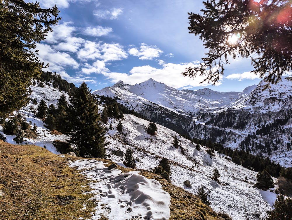
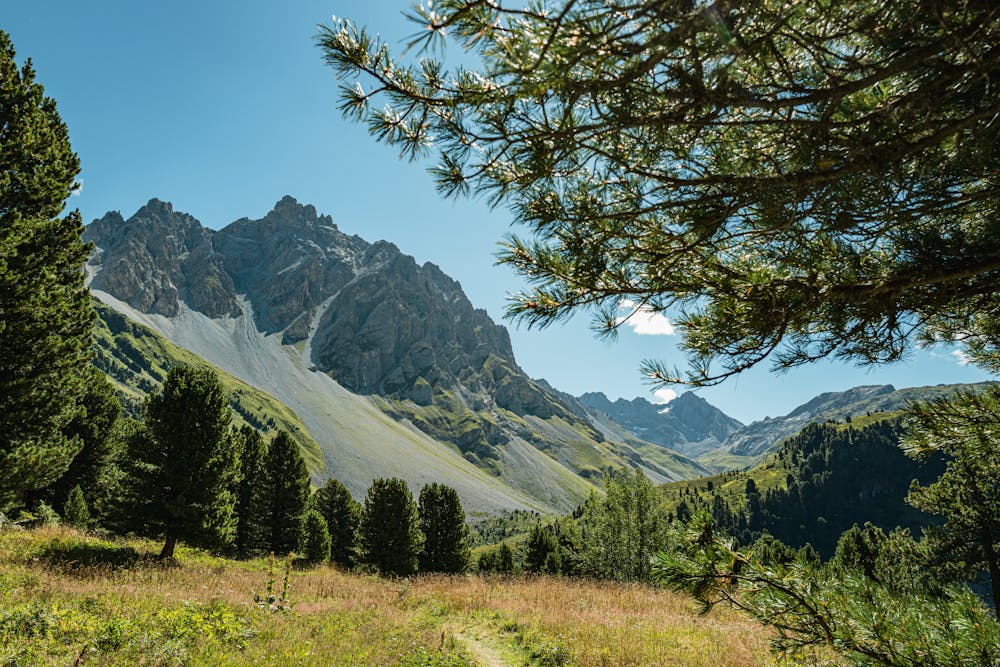
Very nice view from Mottaret forest
Difficulty
Moderate
Hiking along trails with some uneven terrain and small hills. Small rocks and roots may be present.
Low Exposure

The path is on completely flat land and potential injury is limited to falling over.
Remoteness
Close to help in case of emergency.
Best time to visit
Features
- Alpine
- Picturesque
- Wild flowers
- Family friendly
- Forestry or heavy vegetation