Vanoise by Phil®
3 Valleys
Meribel
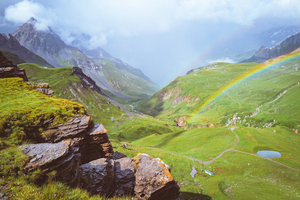
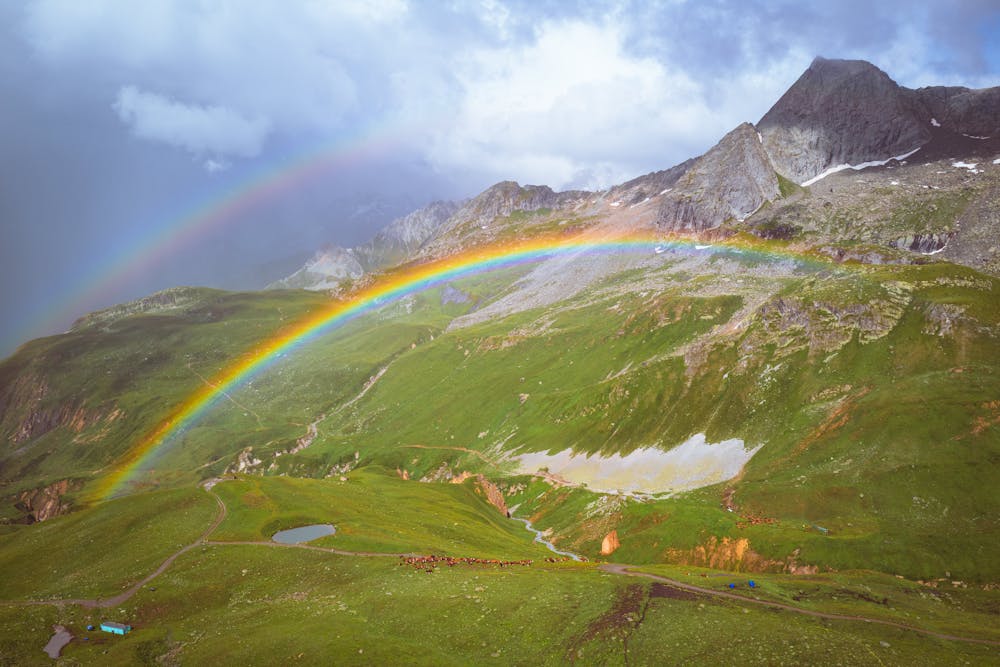
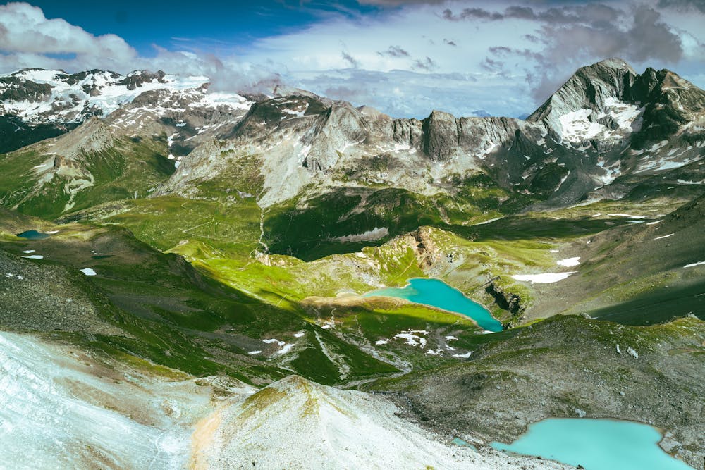
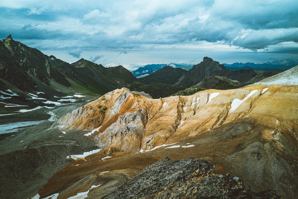
Vanoise Massif
Circum Vanoise glaciers with Phil
Hiking Difficult
- Distance
- 135 km
- Ascent
- 9 km
- Descent
- 9 km
- Duration
- 1 day +
- Low Point
- 1.7 km
- High Point
- 2.9 km
- Gradient
- 17˚

This is a popular hiking route which is generally considered to be difficult. It's remote, it features medium exposure and is typically done between June and September. From a low point of 1.7 km to the maximum altitude of 2.9 km, the route covers 135 km, 9030 vertical metres of ascent and 9006 vertical metres of descent.
- •
- •
- •
- •
Description
A week hiking on trails between refuges of Vanoise
Difficulty
Difficult
Hiking trails where obstacles such as rocks or roots are prevalent. Some obstacles can require care to step over or around. At times, the trail can be worn and eroded. The grade of the trail is generally quite steep, and can often lead to strenuous hiking.
Medium Exposure

The trail contains some obstacles such as outcroppings and rock which could cause injury.
Remoteness
Away from help but easily accessed.
Best time to visit
Features
- Alpine
- Wildlife
- Picturesque
- Wild flowers
- Water features
- Family friendly