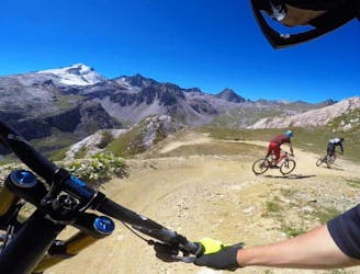
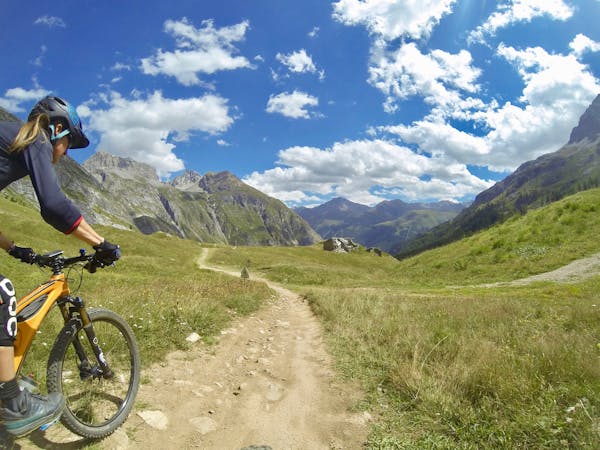
Aiguille de la Grande Sassière to Le Chevril
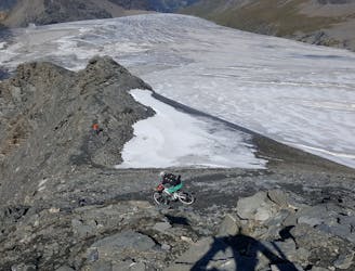
An extended challenging route and descent from the epic summit route.
Difficult Mountain Biking
- Distance
- 16 km
- Ascent
- 1.5 km
- Descent
- 1.9 km
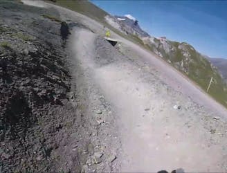
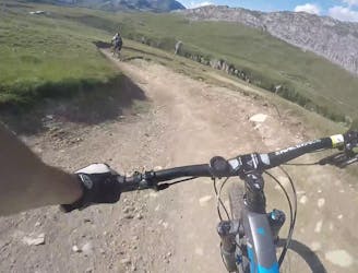
Big mountain enduro descent from the Sassière dam to Séez. Very technical in places with some sharp ascents; a phenomenal ride.
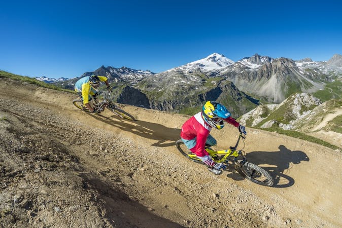
Mountain Biking Severe

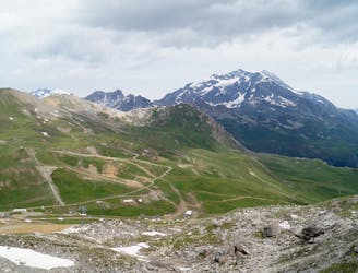
This is a popular mountain biking route which is generally considered to be severe. It's remote, it features extreme exposure and is typically done between June and October. From a low point of 893 m to the maximum altitude of 2.3 km, the route covers 37 km, 927 vertical metres of ascent and 2313 vertical metres of descent.
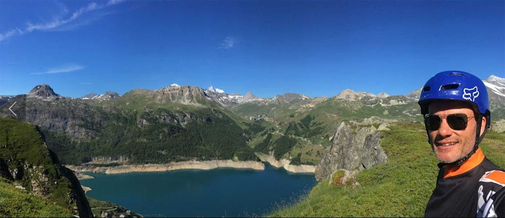
A full day of big mountain adventure with meadows, steep exposed drops (beware!), some long grunty uphills and some epic techie downhill sections. Finish the day in a pub in Saint Foy or Bourg St Maurice. Requires shuttling.
Severe
Widely variable, narrow trail tread with steeper grades and unavoidable obstacles of 15in/38cm tall or less. Obstacles may include unavoidable bridges 24in/61cm wide or less, large rocks, gravel, difficult root sections, and more. Ideal for advanced-level riders.

Some trail sections are extremely exposed where falling will almost certainly result in serious injury or death.

Away from help but easily accessed.
An extended challenging route and descent from the epic summit route.
Difficult Mountain Biking
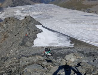
The highest, rideable, French Alps trail that's not protected by a National Park—extreme and very challenging!
Extreme Mountain Biking
3.7 km away
Alternative, technical descent for the final third of Fast Wood.
Severe Mountain Biking
5 km away
Big jumps and turns make this trail a "Toboggan for MTB."
Moderate Mountain Biking
5 km away
This trail features a mix of machine-groomed and natural—it's a fast, flowy and super fun track with a big gap jump.
Difficult Mountain Biking
5 km away
An alternative, technical descent to the first part of Fast Wood.
Severe Mountain Biking
5 km away
An easy top to bottom, fast, fun, and flowy trail.
Easy Mountain Biking
5.1 km away
The longest trail in the Tovière area of the bike park, this is a flowy and playful track with lots of berms and jumps
Moderate Mountain Biking
5.3 km away
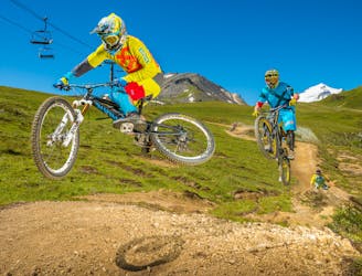
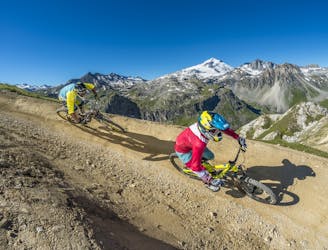
A Tignes Bike Park classic—as hard as you want it to be.
Moderate Mountain Biking
5.3 km away
An alternative, more challenging descent section near "Gunpowder."
Difficult Mountain Biking
11 routes · Mountain Biking
12 routes · Mountain Biking