Les 2 Lacs
3 Valleys
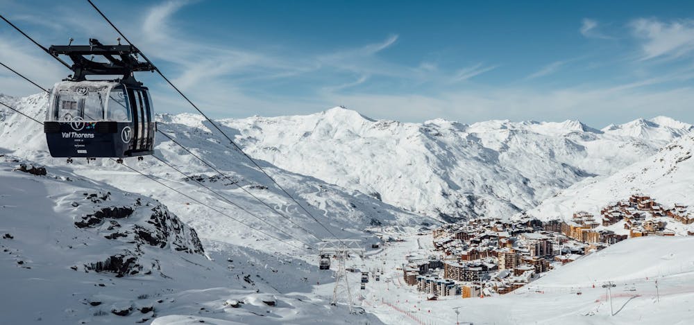
Val Thorens
Vanoise Massif
Perfect route to start while enjoying the altitude, being constantly above 2200m of altitude, and finally enjoy the remarkable setting offered by the plateau of the two lakes.
Resort Ski Touring Easy
- Distance
- 1.5 km
- Ascent
- 117 m
- Descent
- 51 m
- Low Point
- 2.3 km
- High Point
- 2.4 km
- Gradient
- 15˚

This is a popular resort ski touring route which is generally considered to be easy. It's an unknown remoteness, it features unknown exposure and is typically done in an unknown time of year. From a low point of 2.3 km to the maximum altitude of 2.4 km, the route covers 1.5 km, 117 vertical metres of ascent and 51 vertical metres of descent.
Description
A gentle ascent to the plateau of both lakes, where you can admire the Péclet glacier and its majestic peaks when you arrive at the top of this hike.<br/><br/>For more information: <a href="https://skitouring.decathlon.fr" target="blank">skitouring.decathlon.fr</a>
Difficulty
Easy