ZEN Tania G2
3 Valleys
La Tania
Vanoise Massif
Sledging Easy
- Distance
- 145 m
- Ascent
- 0 m
- Descent
- 22 m
- Low Point
- 1.9 km
- High Point
- 1.9 km
- Gradient
- 12˚
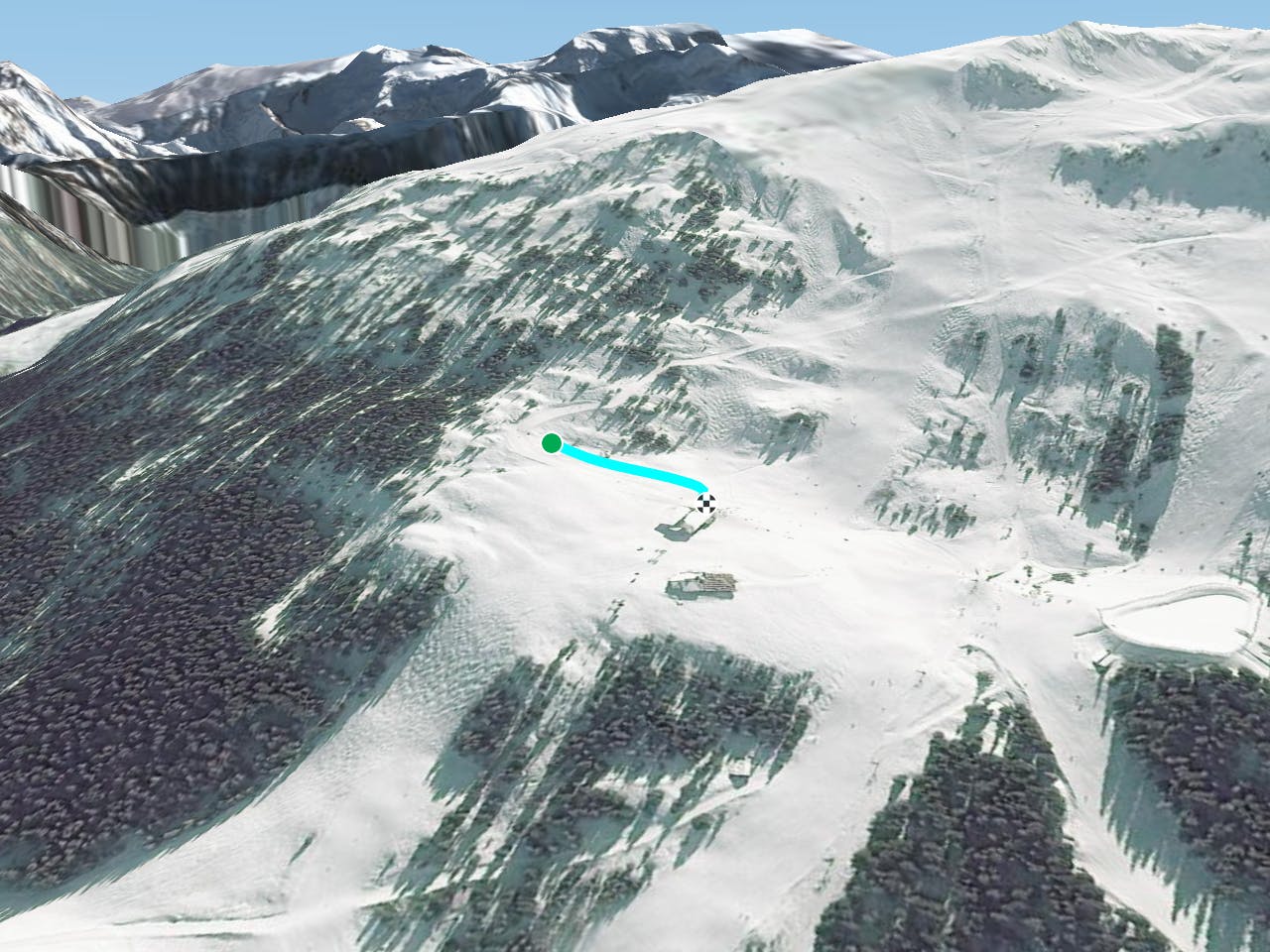
This is a popular sledging route which is generally considered to be easy. It's an unknown remoteness, it features unknown exposure and is typically done in an unknown time of year. From a low point of 1.9 km to the maximum altitude of 1.9 km, the route covers 145 m, 0 vertical metres of ascent and 22 vertical metres of descent.
Description
null
Difficulty
Easy