
3.4 km away
The Ultra Sampler
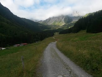
Get a taste of 3 ultras in 1 day: discover why UTMB is usually described as very runnable, TDS as technical and remote, and Montagn'hard as steep but not too technical.
Extreme Trail Running
- Distance
- 38 km
- Ascent
- 2.8 km
- Descent
- 2.8 km