25 Bosses
Sentier des 25 Bosses dans le Massif des 3 Pignons
Hiking Difficult
- Distance
- 18 km
- Ascent
- 470 m
- Descent
- 469 m
- Duration
- 4-5 hrs
- Low Point
- 67 m
- High Point
- 119 m
- Gradient
- 6˚

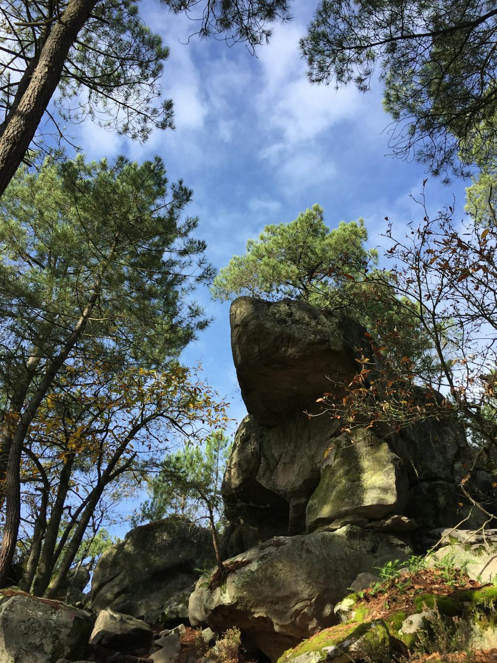
This is a popular hiking route which is generally considered to be difficult. It's remote, it features medium exposure and is typically done between March and November. From a low point of 67 m to the maximum altitude of 119 m, the route covers 18 km, 470 vertical metres of ascent and 469 vertical metres of descent.
Description
Itinéraire incontournable de randonnée sportive en Ile de France. Itinéraire exigeant du fait de la répétition des montées et descentes.
Difficulty
Difficult
Hiking trails where obstacles such as rocks or roots are prevalent. Some obstacles can require care to step over or around. At times, the trail can be worn and eroded. The grade of the trail is generally quite steep, and can often lead to strenuous hiking.
Medium Exposure

The trail contains some obstacles such as outcroppings and rock which could cause injury.
Remoteness
Away from help but easily accessed.
Best time to visit
Features
- Picturesque
- Forestry or heavy vegetation