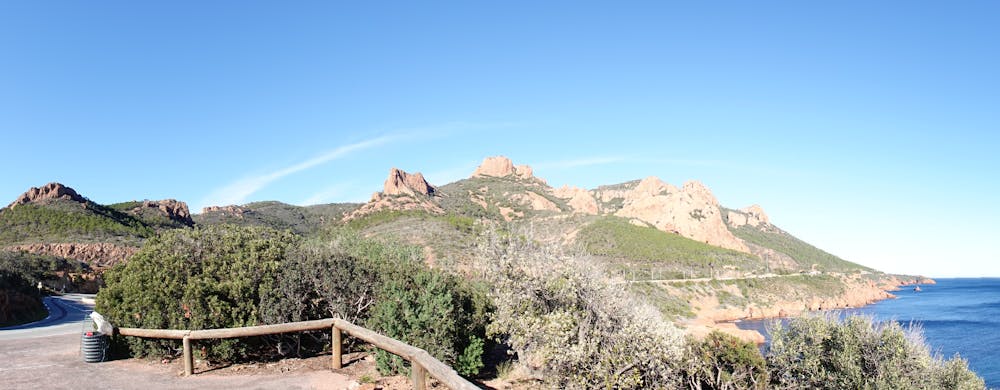
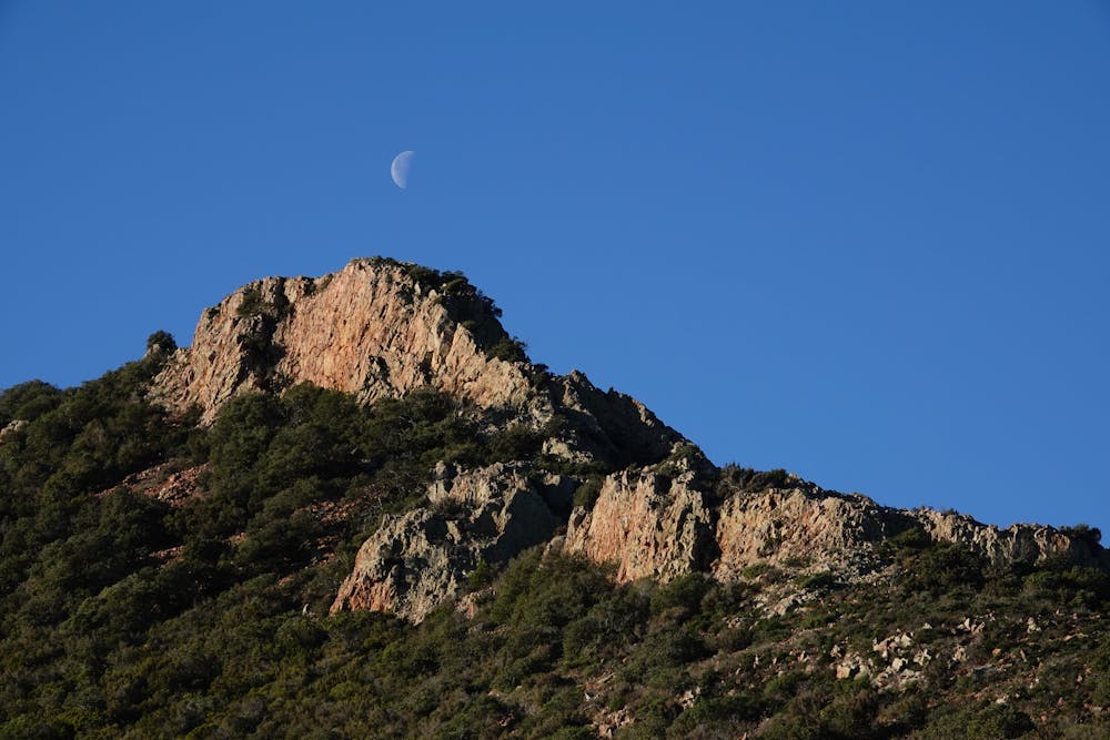
Le Pic de cap Roux
Sortie assez facile qui offre un beau panorama
Hiking Moderate
- Distance
- 12 km
- Ascent
- 549 m
- Descent
- 549 m
- Duration
- 3-4 hrs
- Low Point
- 36 m
- High Point
- 451 m
- Gradient
- 10˚

This is a popular hiking route which is generally considered to be moderate. It's not remote, it features low exposure and is typically done in February, March, April, May, October, November and December. From a low point of 36 m to the maximum altitude of 451 m, the route covers 12 km, 549 vertical metres of ascent and 549 vertical metres of descent.
- •
- •
- •
- •
- •
Description
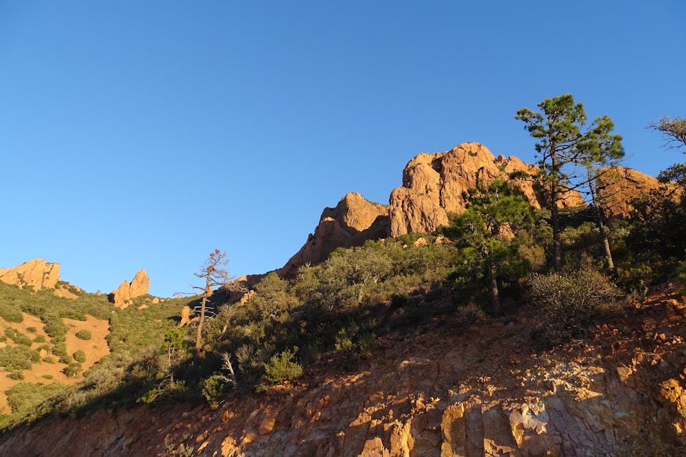
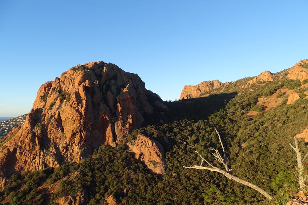
les falaises environnantes sont magnifiques
Difficulty
Moderate
Hiking along trails with some uneven terrain and small hills. Small rocks and roots may be present.
Low Exposure

The path is on completely flat land and potential injury is limited to falling over.
Remoteness
Close to help in case of emergency.
Best time to visit
Features
- Picturesque
- Summit Hike