Gldani to Udabno and back through Lalno mountain
5000m elevation gain
Dirt Biking Severe
- Distance
- 189 km
- Ascent
- 4.2 km
- Descent
- 4.2 km
- Low Point
- 433 m
- High Point
- 1.8 km
- Gradient
- 9˚

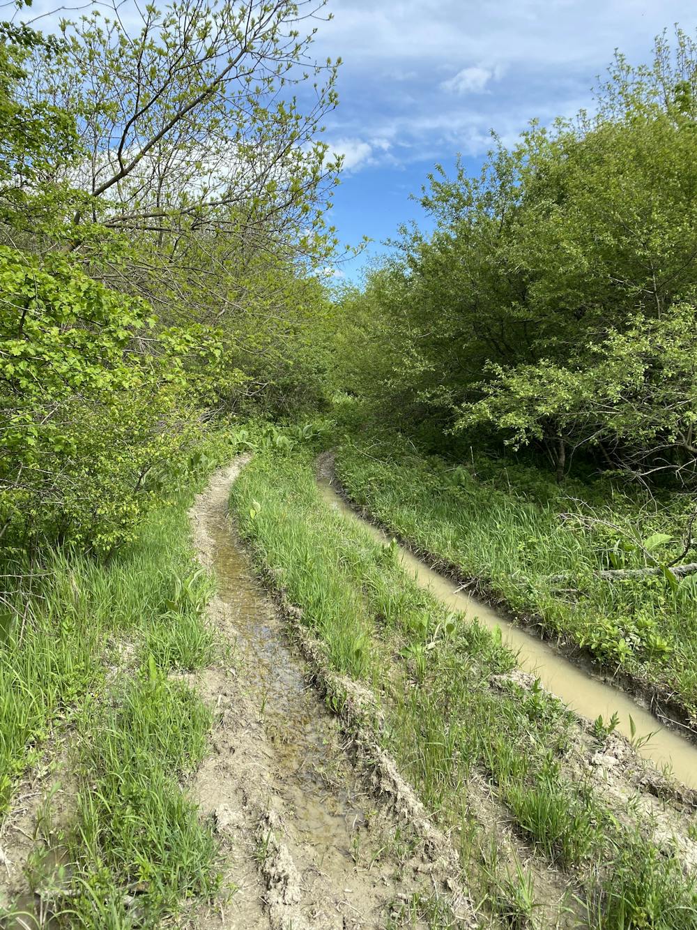
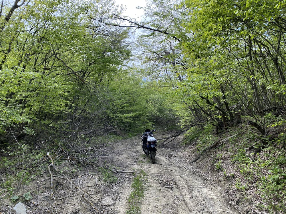
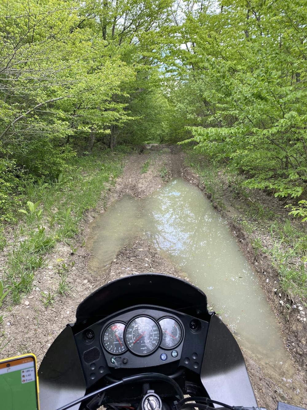
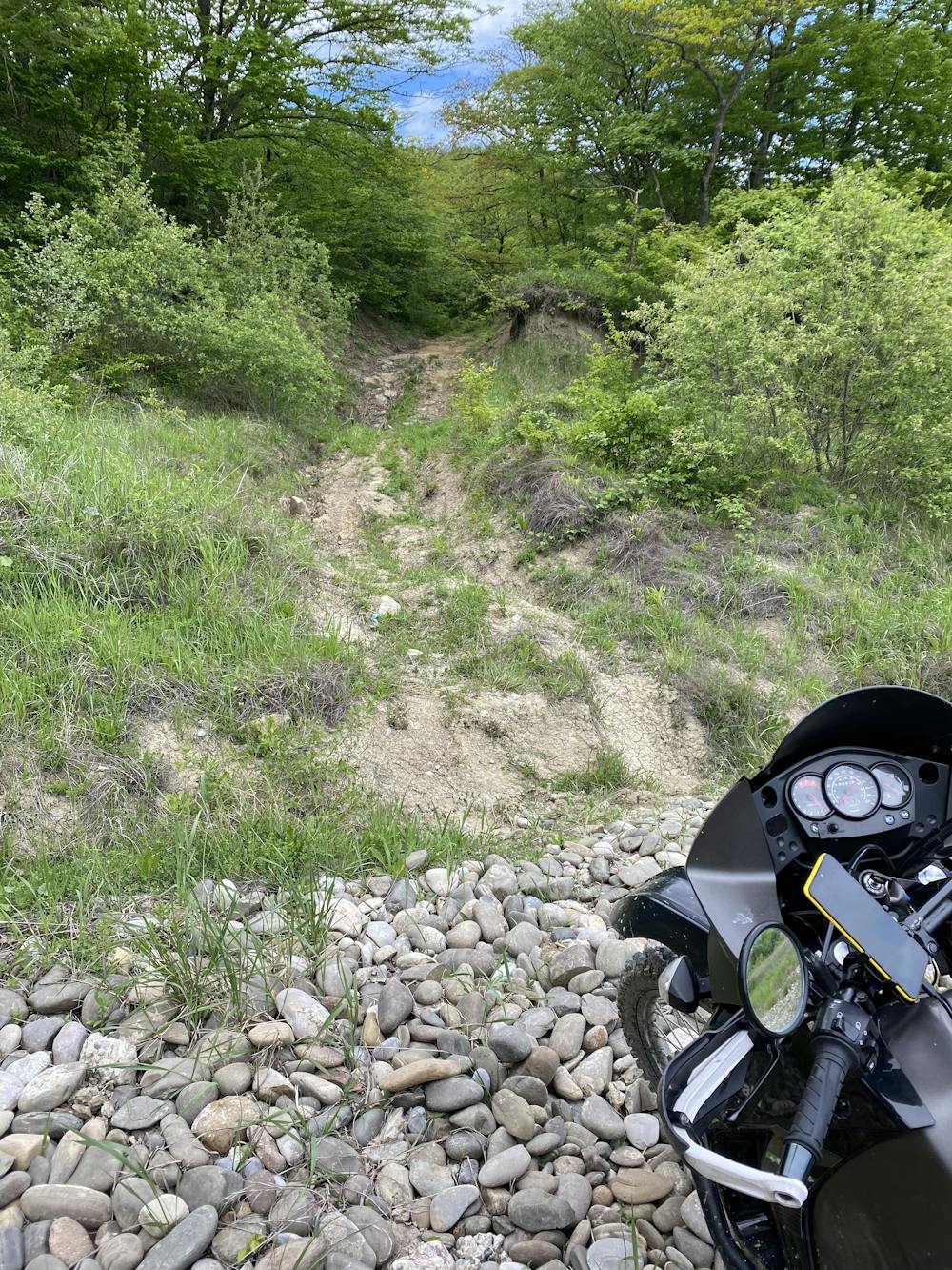
This is a popular dirt biking route which is generally considered to be severe. It's remote, it features high exposure and is typically done between June and September. From a low point of 433 m to the maximum altitude of 1.8 km, the route covers 189 km, 4196 vertical metres of ascent and 4178 vertical metres of descent.
- •
- •
- •
- •
Description
5000m elevation gain, part of it runs through National Park and you should find bypass or ride at your own risk
Difficulty
Severe
High Exposure

Some trail sections have exposed ledges or steep ascents/descents where falling could cause serious injury.
Remoteness

Away from help but easily accessed.