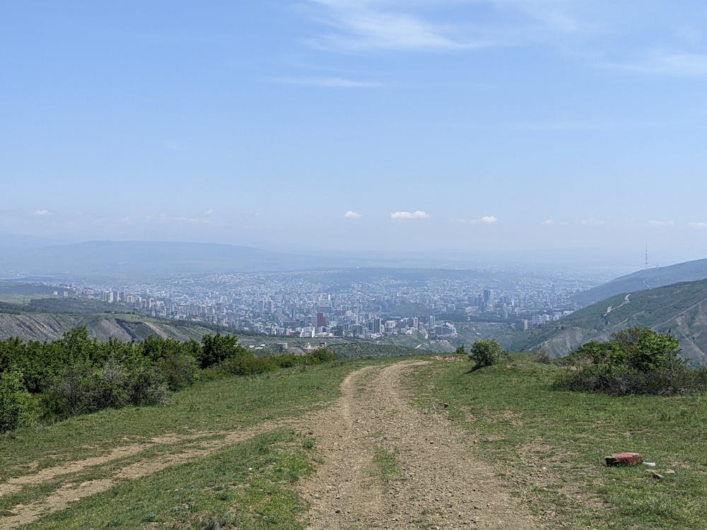
Saburtalo To Bevreti To Lisi
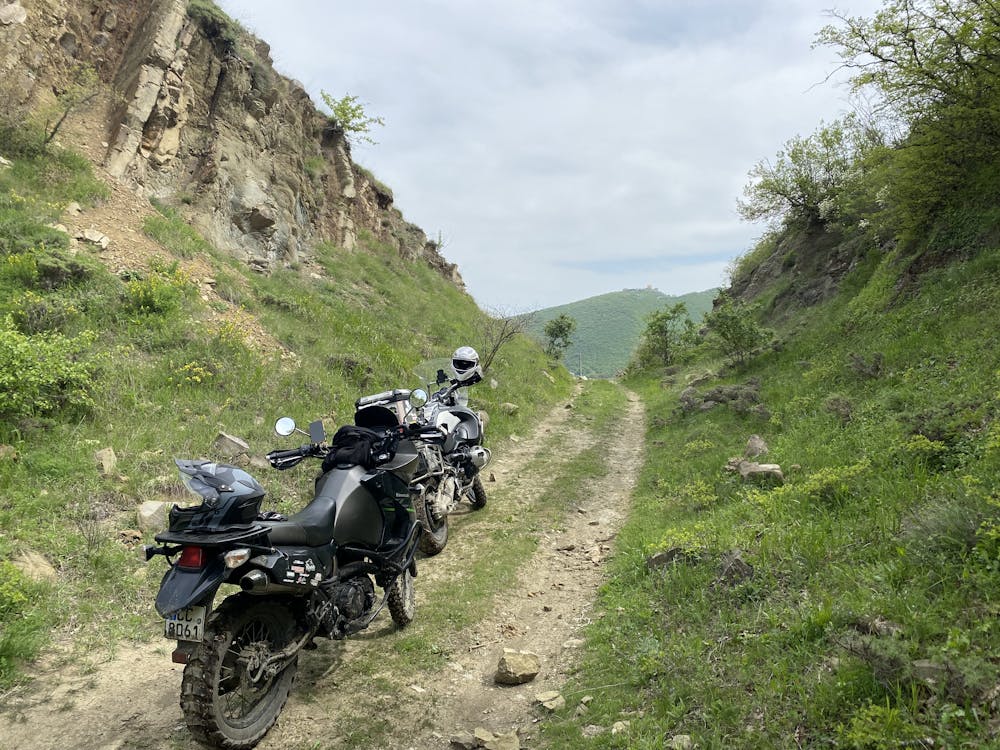
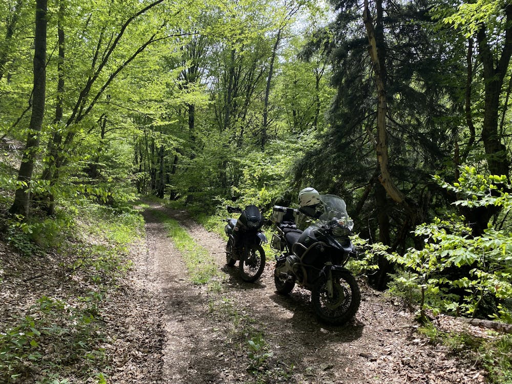
Gravel roads with steep downhills and easy uphills
Also in Tbilisi, Georgia
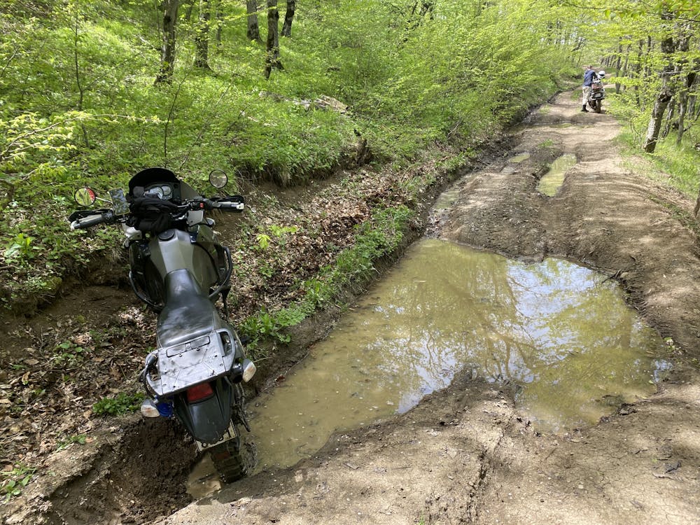
Dirt Biking Moderate
- Distance
- 33 km
- Ascent
- 1.2 km
- Descent
- 1.1 km
- Low Point
- 595 m
- High Point
- 1.4 km
- Gradient
- 8˚

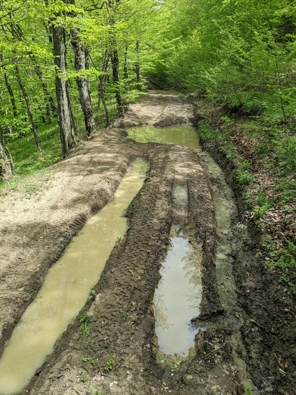
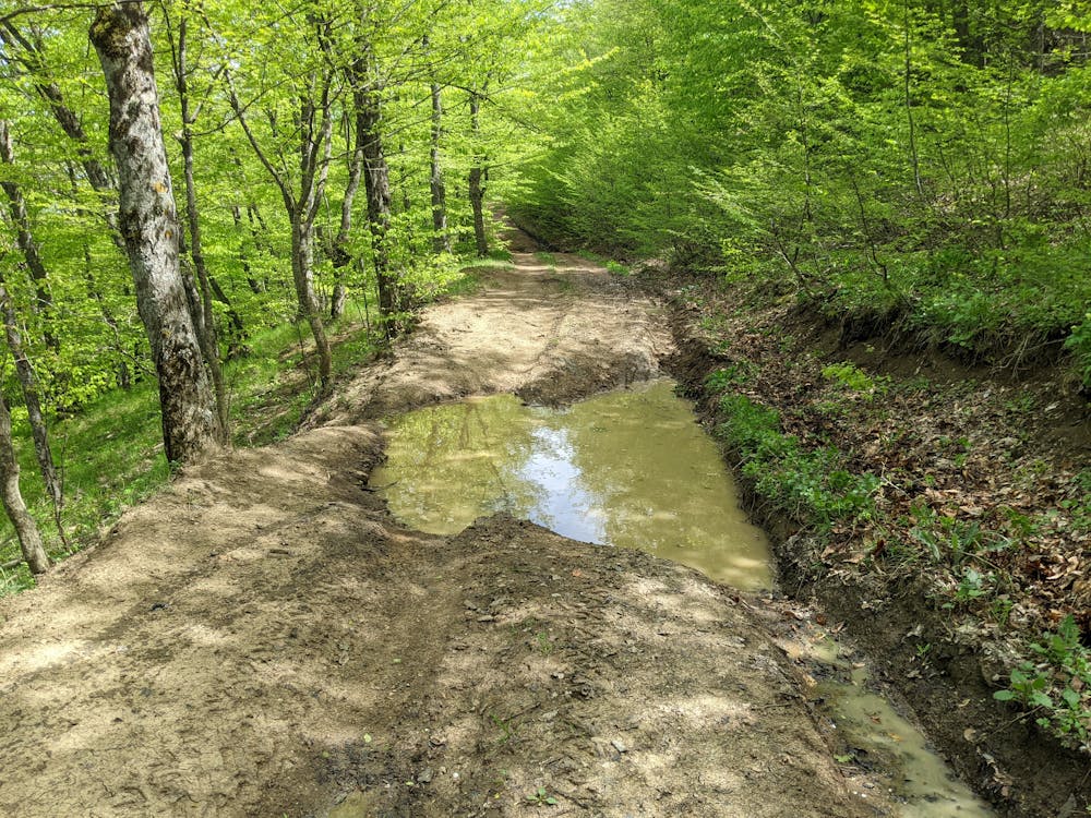
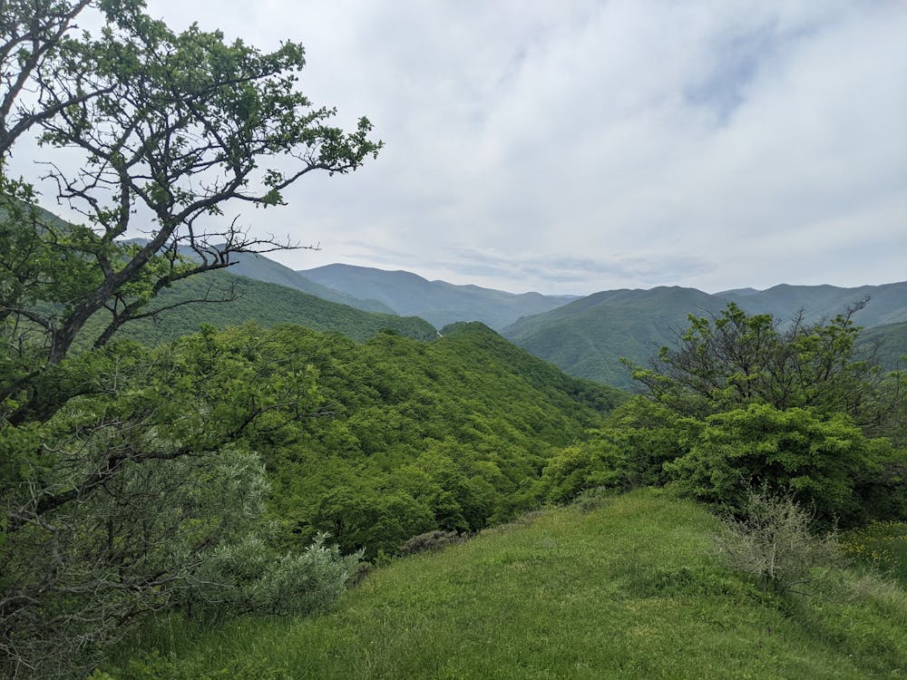
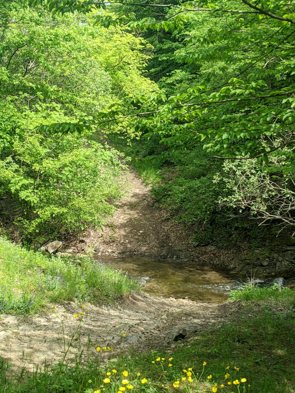
This is a popular dirt biking route which is generally considered to be moderate. It's remote, it features medium exposure and is typically done between April and October. From a low point of 595 m to the maximum altitude of 1.4 km, the route covers 33 km, 1172 vertical metres of ascent and 1099 vertical metres of descent.
- •
- •
- •
- •
- •
- •
- •
- •
Description
Gravel roads with steep downhills and easy uphills
Difficulty
Moderate
Medium Exposure

The trail contains some obstacles such as outcroppings and rock which could cause injury.
Remoteness
Away from help but easily accessed.