Kazbegi to Altihut - Running through the Caucasus
Stage five: solid vert for something a little shorter
Trail Running Moderate
- Distance
- 11 km
- Ascent
- 1.3 km
- Descent
- 116 m
- Duration
- 2-3 hrs
- Low Point
- 1.7 km
- High Point
- 3 km
- Gradient
- 15˚

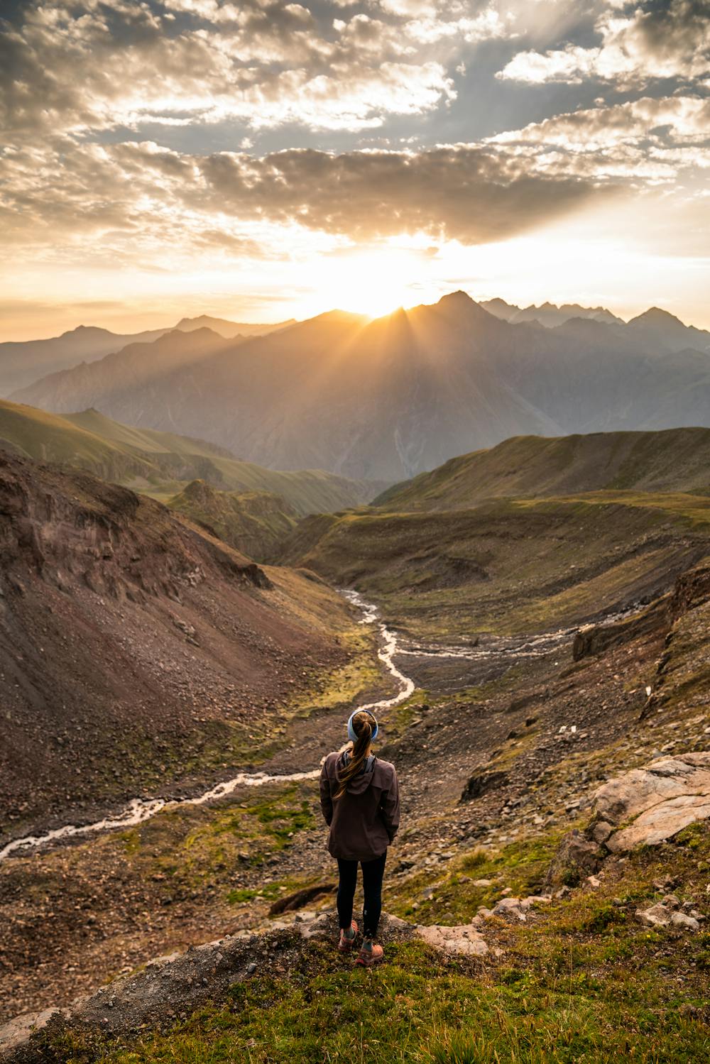
This is a popular trail running route which is generally considered to be moderate. It's remote, it features low exposure and is typically done between June and September. From a low point of 1.7 km to the maximum altitude of 3 km, the route covers 11 km, 1330 vertical metres of ascent and 116 vertical metres of descent.
Description
Just above 3000m, the Altihut sits perched in view of the 5000m giant, Mt Kazbek and her glacier. Make the ascent and sleep high to witness an unforgettable sunrise and sunset over Georgia's third highest peak.
Difficulty
Moderate
Low Exposure

The path is on completely flat land and potential injury is limited to falling over.
Remoteness

Away from help but easily accessed.