Short & easy tree run
Run in mostly sparse forest with uphill back to the cable car
Freeride Skiing Easy
- Distance
- 1.5 km
- Ascent
- 11 m
- Descent
- 396 m
- Low Point
- 1.8 km
- High Point
- 2.2 km
- Gradient
- 29˚

From the top station of the cable car first on the red slope. At an altitude of about 2200m. turn left into the forest (hiking trail). As soon as the first forest aisle is reached, follow it till the end (Up to here are often tracks, but they mostly lead back to the slope). Then descend via a large, ideally inclined clearing to 2020m. Here, keep to the left and cross the forest. After a short time, the forest opens up again somewhat and you can ski down the moderately vegetated slope.
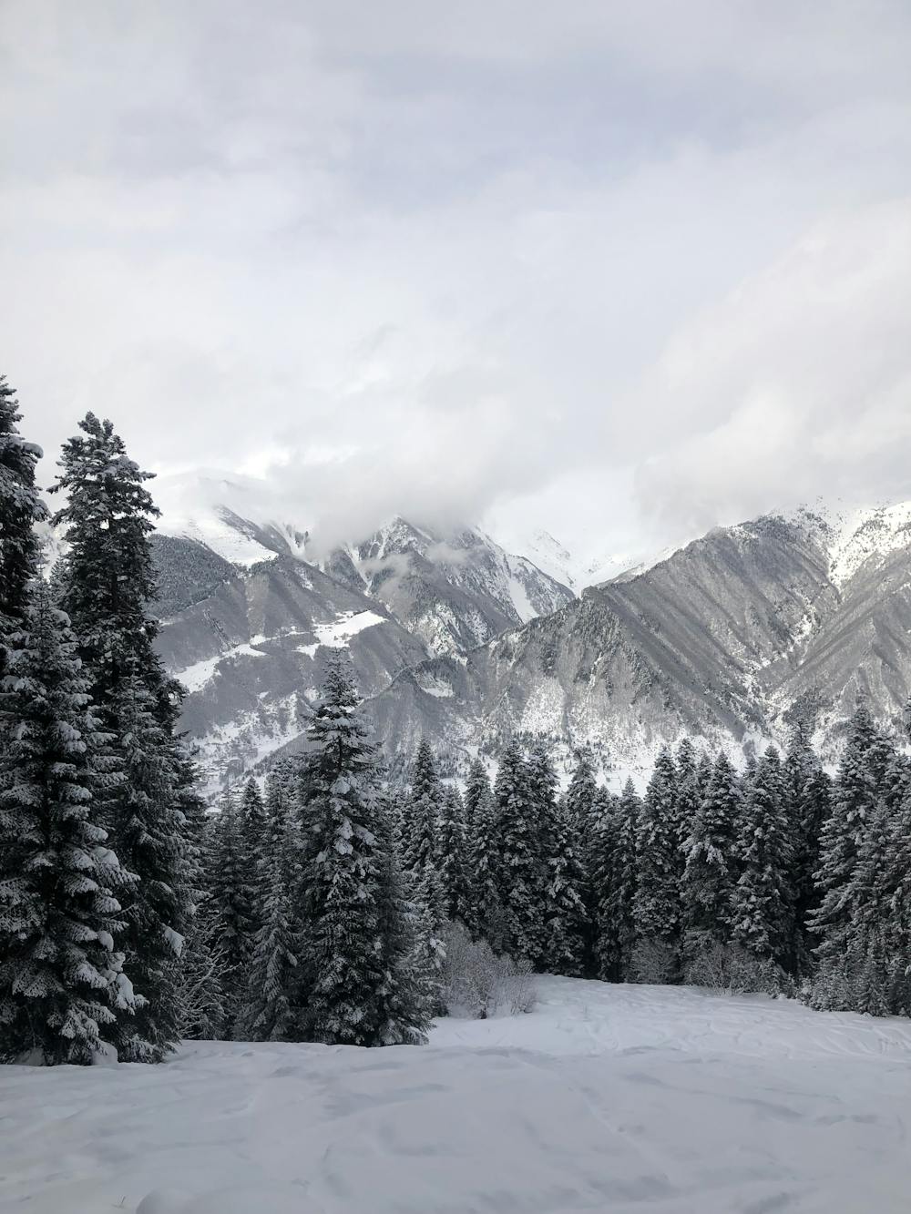
Description
Best is this run as the last of the day and if agreed that the driver picks you up. Otherwise it is about 20 minutes walk back to the cable car.
Difficulty
Easy
Wide gentle slopes at around 20 degrees or less.
Low Exposure (E1)

Exposure is limited to that of the slope itself. Getting hurt is still likely if the slope is steep and/or the snow is hard.
Remoteness

Away from help but easily accessed.
Best time to visit
Features
- Trees
- Walk Required