Running through the Caucasus: Adishi to Ushguli
The finale!
Trail Running Difficult
- Distance
- 30 km
- Ascent
- 1.3 km
- Descent
- 1.3 km
- Duration
- 5-6 hrs
- Low Point
- 1.8 km
- High Point
- 2.7 km
- Gradient
- 14˚

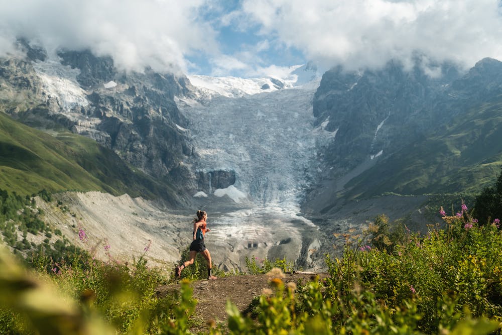
A truly magical trail takes you to the end of your journey. Get an early start as a river crossing awaits you, five kilometres from Adishi. The Adischala river is at it's lowest in the morning and 10 lari per person can get you across by horseback in the summer as the water is powerful and rocks slippery. Once crossed, by foot or horseback, take a moment on the other side to defrost your feet and admire the impressive glacier in front of you. Then continue, climbing steep up to Chkhunderi pass.
Description
Don't be disheartened to leave the glacial views behind just yet as the descent to the valley below holds more glaciers at it's end and another impressive view is there at the finish line, visible from the centre of Ushguli. Enjoy this cherry-on-top trail!
Difficulty
Difficult
Low Exposure

The path is on completely flat land and potential injury is limited to falling over.
Remoteness

Away from help but easily accessed.