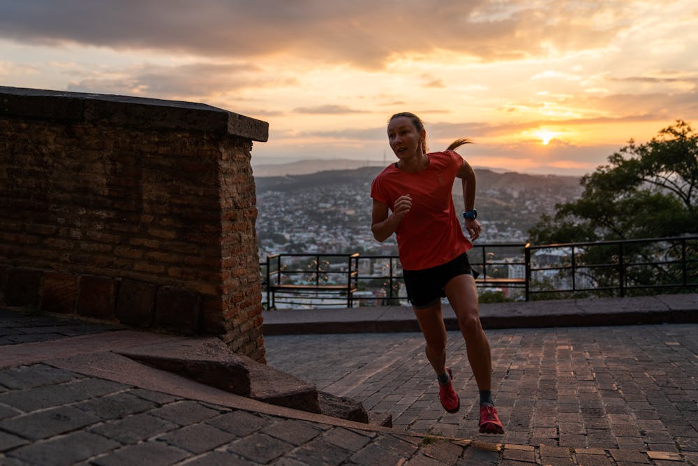
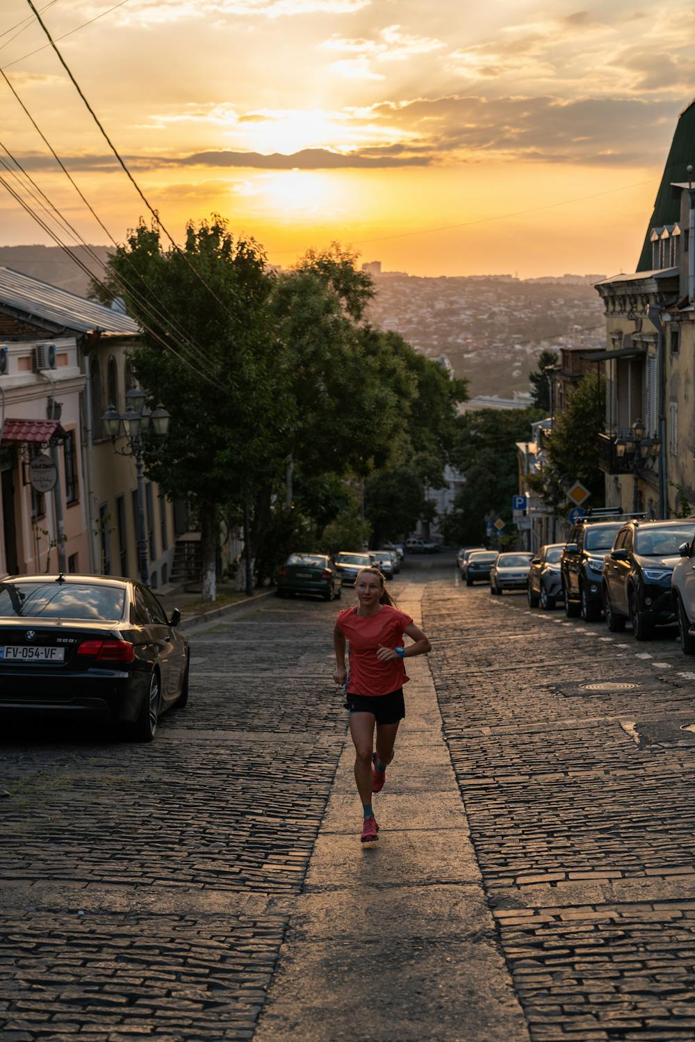
Sunrise over Tbilisi
There's no better way to gain perspective in a new city than by running the streets before dawn to the highest viewpoint and then watching it wake up.
Trail Running Easy
- Distance
- 7.8 km
- Ascent
- 362 m
- Descent
- 368 m
- Duration
- 1-2 hrs
- Low Point
- 415 m
- High Point
- 750 m
- Gradient
- 11˚

This is a popular trail running route which is generally considered to be easy. It's not remote, it features low exposure and is typically done all year round. From a low point of 415 m to the maximum altitude of 750 m, the route covers 7.8 km, 362 vertical metres of ascent and 368 vertical metres of descent.

- •
- •
- •
- •
Description
The perfect pedestal to gain perspective over this beautiful city as sunlight touches it for the first time for a new day. Start in the Old Town and run through the main square before a climb to reach your viewpoint.
Difficulty
Easy
Low Exposure

The path is on completely flat land and potential injury is limited to falling over.
Remoteness
Close to help in case of emergency.