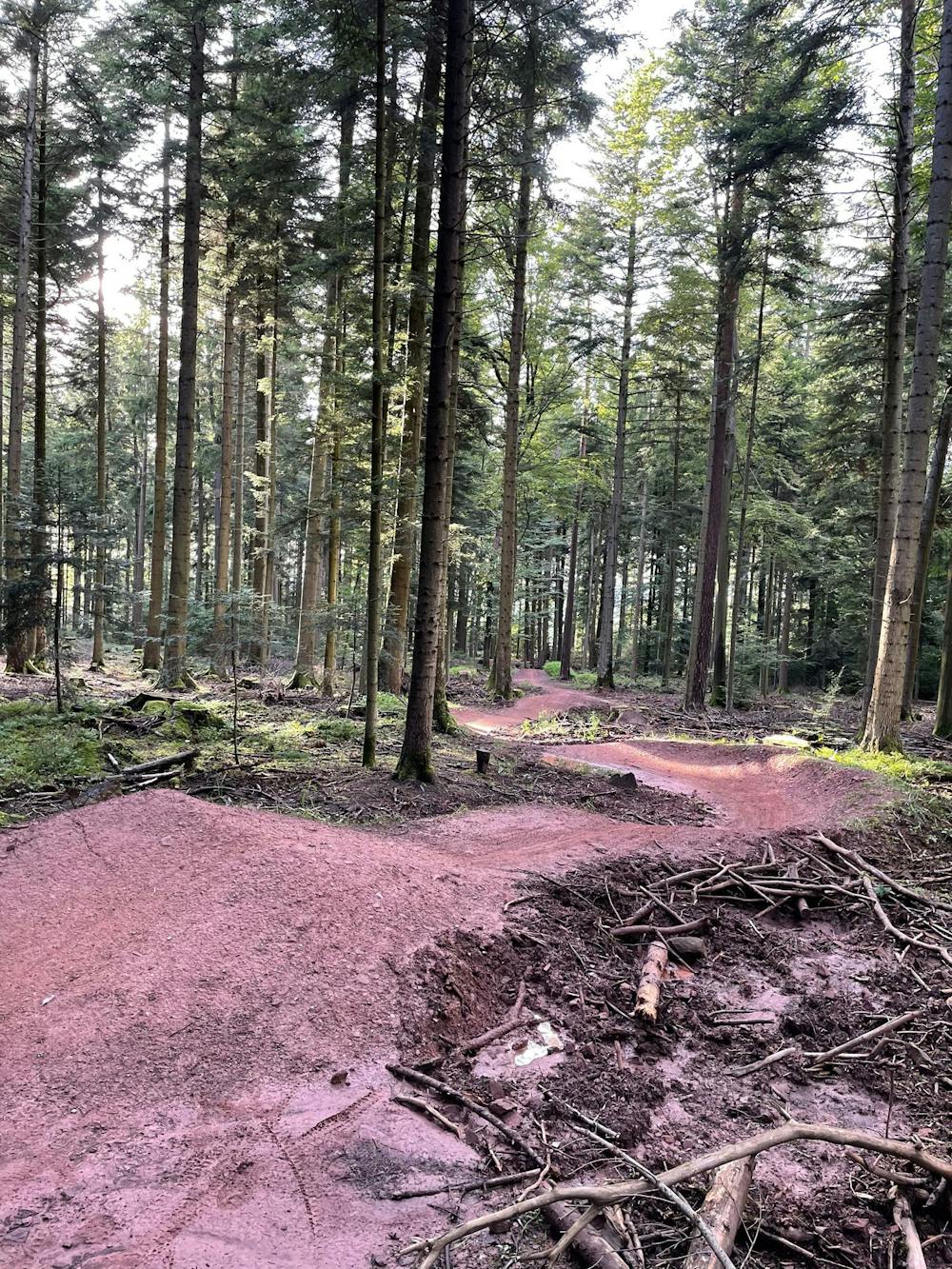
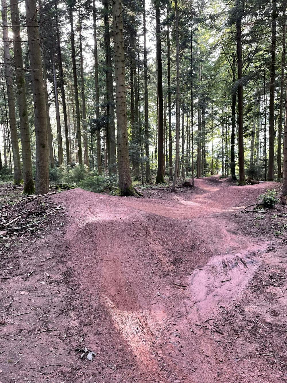
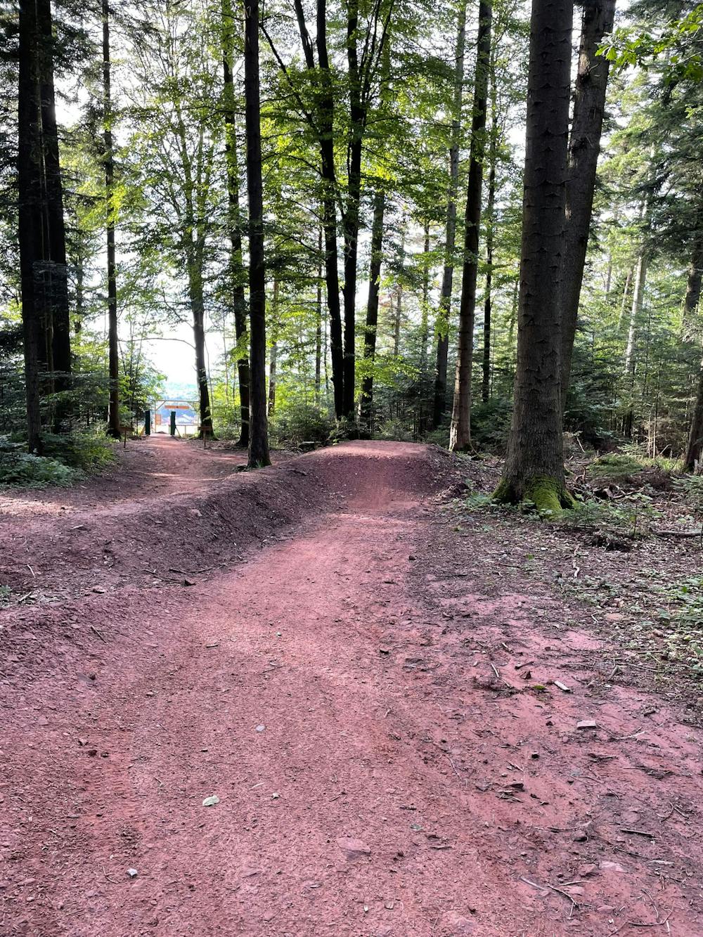
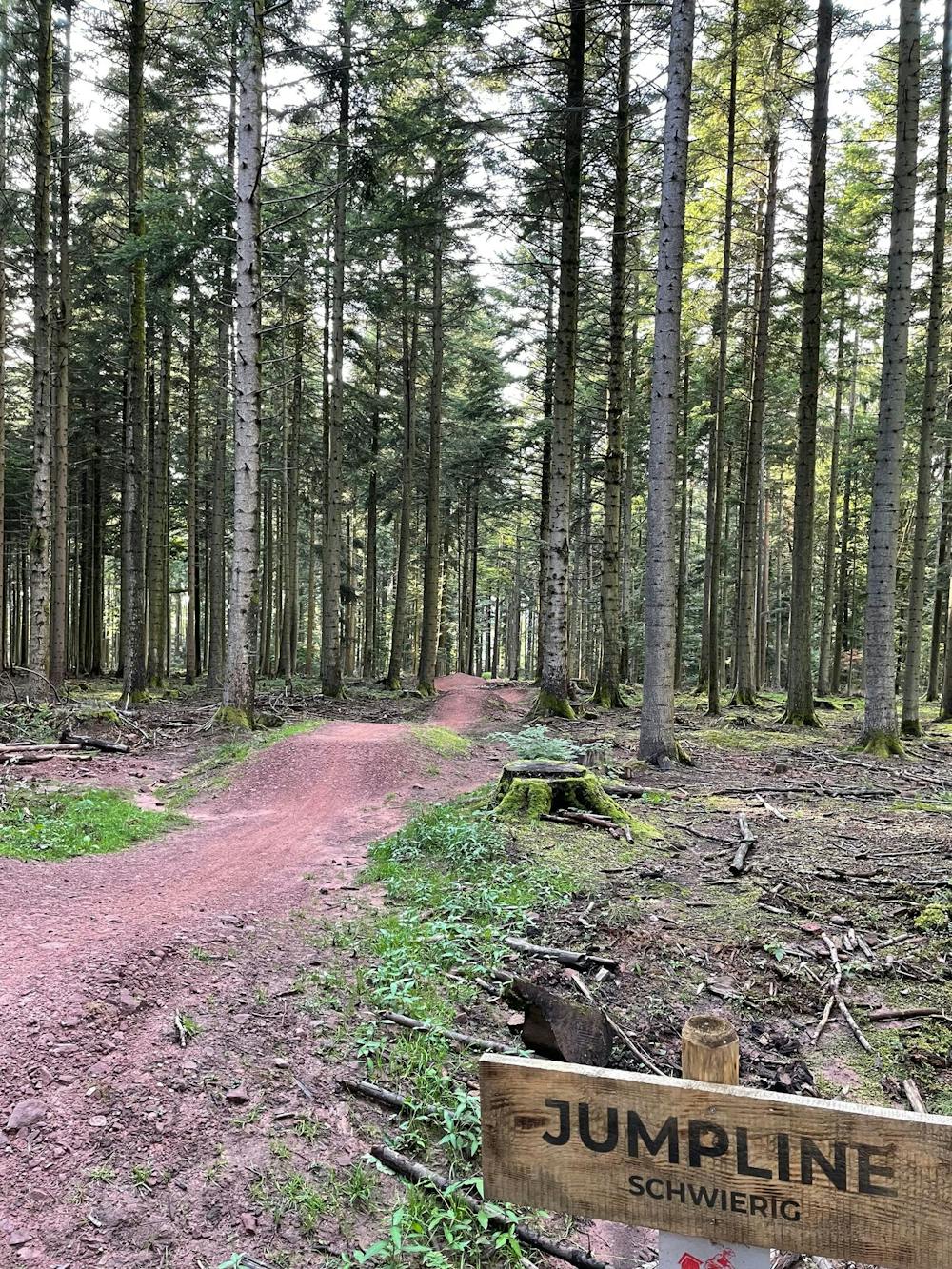
TPSW Jumpline
Mittelschwerer Jumptrail
Mountain Biking Moderate
- Distance
- 362 m
- Ascent
- 0 m
- Descent
- 26 m
- Duration
- 0-1 hrs
- Low Point
- 476 m
- High Point
- 502 m
- Gradient
- 4˚

This is a popular mountain biking route which is generally considered to be moderate. It's extremely remote, it features medium exposure and is typically done between February and November. From a low point of 476 m to the maximum altitude of 502 m, the route covers 362 m, 0 vertical metres of ascent and 26 vertical metres of descent.

- •
- •
- •
- •
- •
Description
Viele abrollbare Sprünge wie Tabels oder Hips
Difficulty
Moderate
Mostly stable trail tread with some variability, with unavoidable obstacles 8in/20cm tall or less. Other obstacles such as rock gullies and steep sections may exist. Ideal for lower intermediate riders.
Medium Exposure

The trail contains some obstacles such as outcroppings and rock which could cause injury.
Remoteness

In the high mountains or remote conditions, all individuals must be completely autonomous in every situation.
Best time to visit
Features
- Flow
- Technical
- In the forest
- Jumps
- Tabletops