TPSW Natureline
Natubelassene Natureline
Mountain Biking Easy
- Distance
- 575 m
- Ascent
- 0 m
- Descent
- 36 m
- Duration
- 0-1 hrs
- Low Point
- 467 m
- High Point
- 504 m
- Gradient
- 4˚

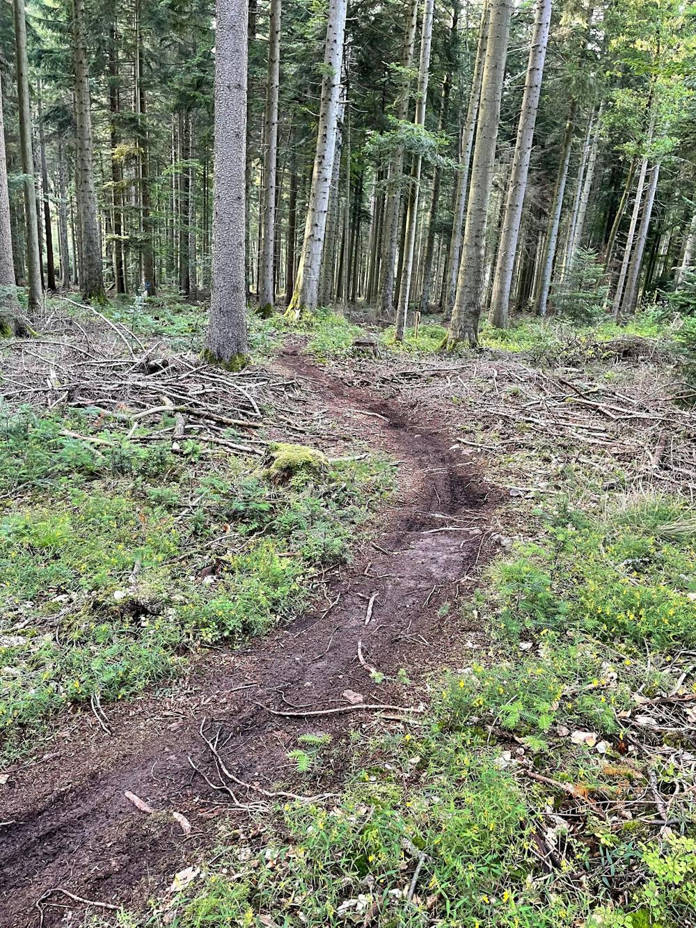
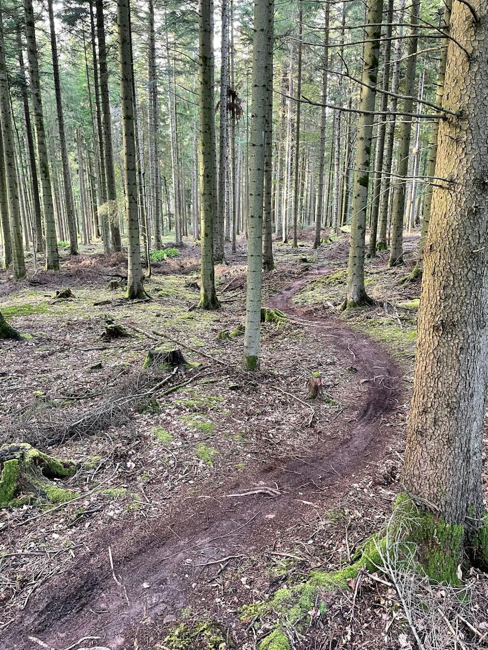
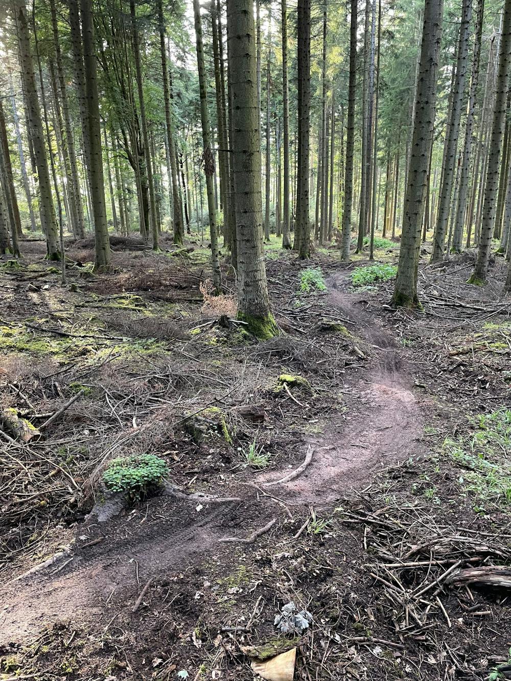
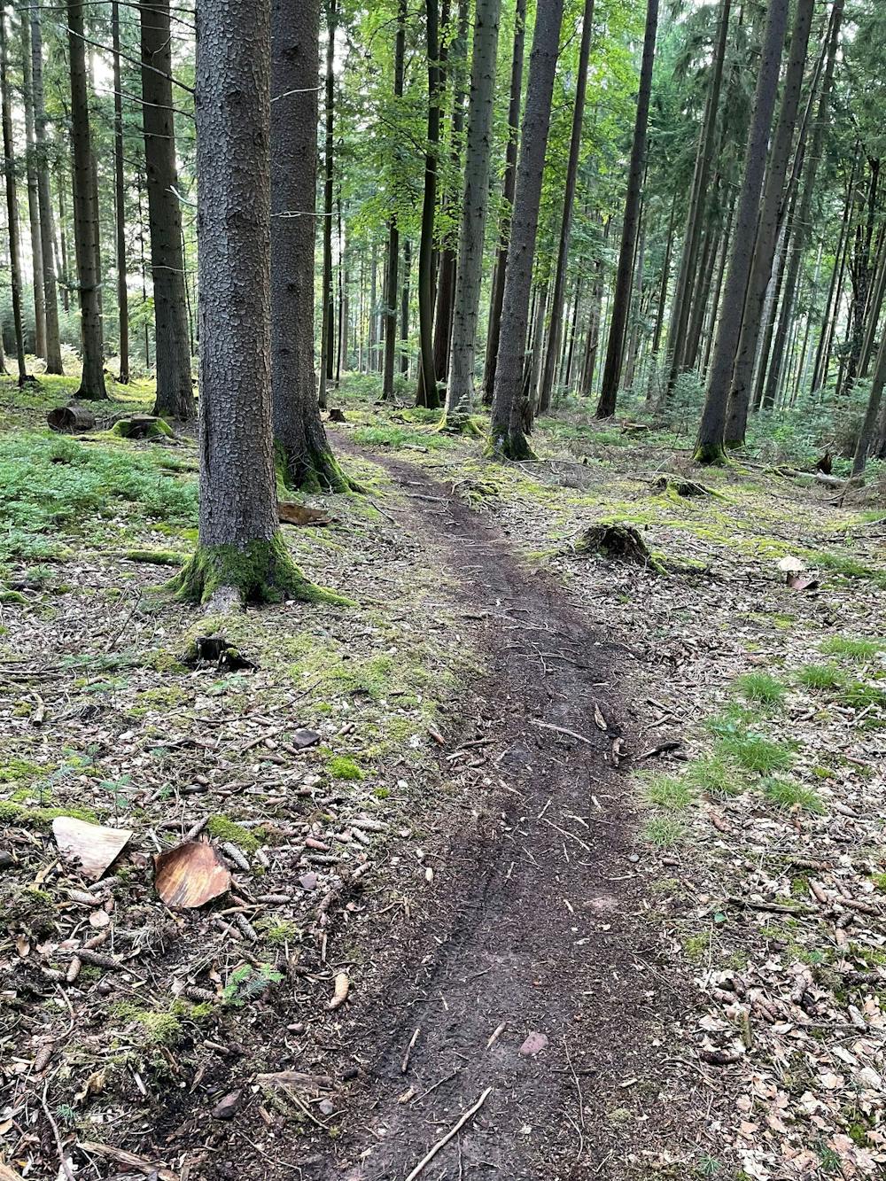
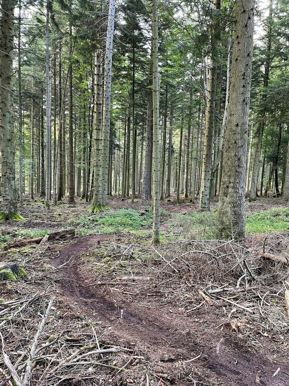
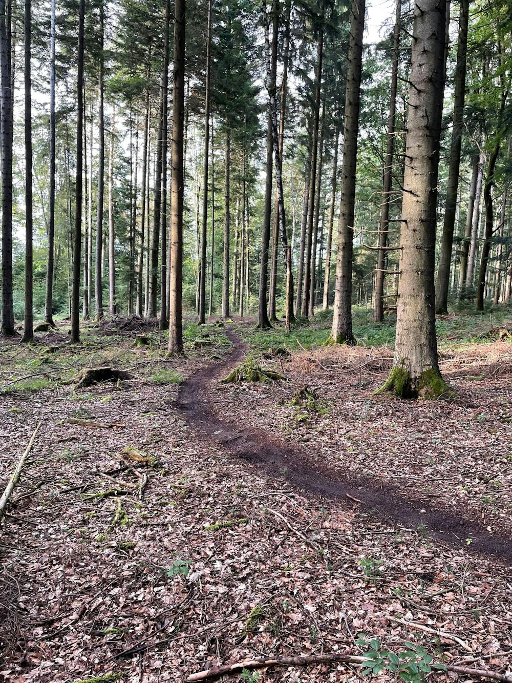
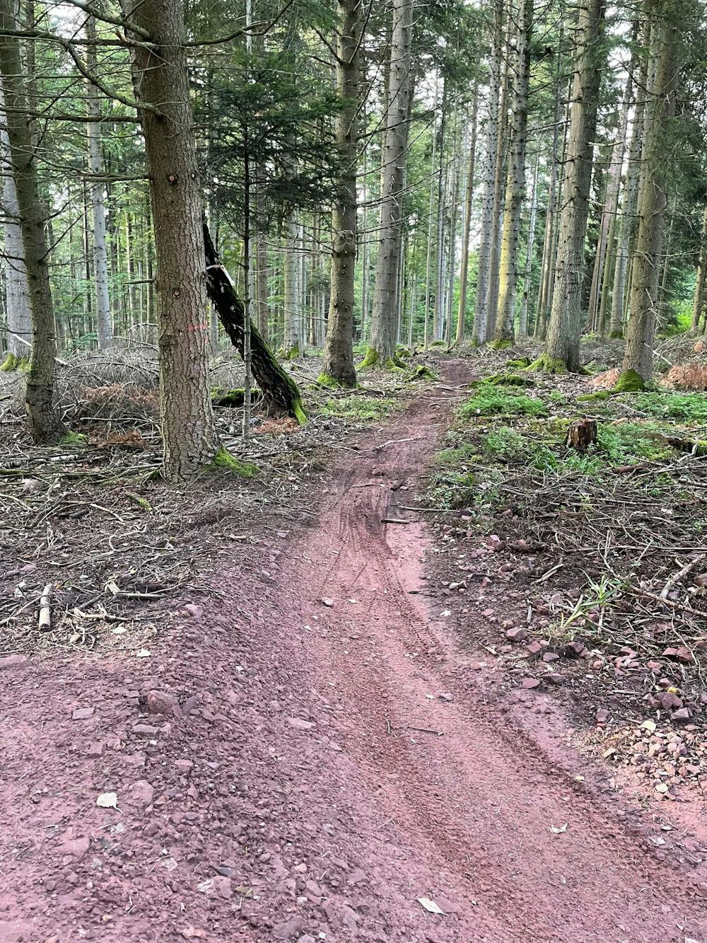
This is a popular mountain biking route which is generally considered to be easy. It's extremely remote, it features low exposure and is typically done between February and November. From a low point of 467 m to the maximum altitude of 504 m, the route covers 575 m, 0 vertical metres of ascent and 36 vertical metres of descent.
- •
- •
- •
- •
- •
- •
- •
Description
Leichter Naturbelassener Trail
Difficulty
Easy
Mostly smooth and non-technical singletrack with unavoidable obstacles 2in/5cm tall or less. Avoidable obstacles may be present. Ideal for beginner riders.
Low Exposure

The path is on completely flat land and potential injury is limited to falling over.
Remoteness

In the high mountains or remote conditions, all individuals must be completely autonomous in every situation.
Best time to visit
Features
- Technical
- Singletrack
- In the forest
- Roots
- Rock Gardens