Gravel biking from Nesselwang to Schwaltenweiher
A mixed bike tour of gravel, trail and road!
Gravel Biking Easy
- Distance
- 21 km
- Ascent
- 278 m
- Descent
- 278 m
- Duration
- 1-2 hrs
- Low Point
- 838 m
- High Point
- 914 m
- Gradient
- 3˚

Not strictly a full gravel biking route but you'll get enough to be happy on this 25km round tour! Without any serious climbs or busy sections of road, this route is perfect for families and those looking for a cruisy bike tour.
- •
- •
Description
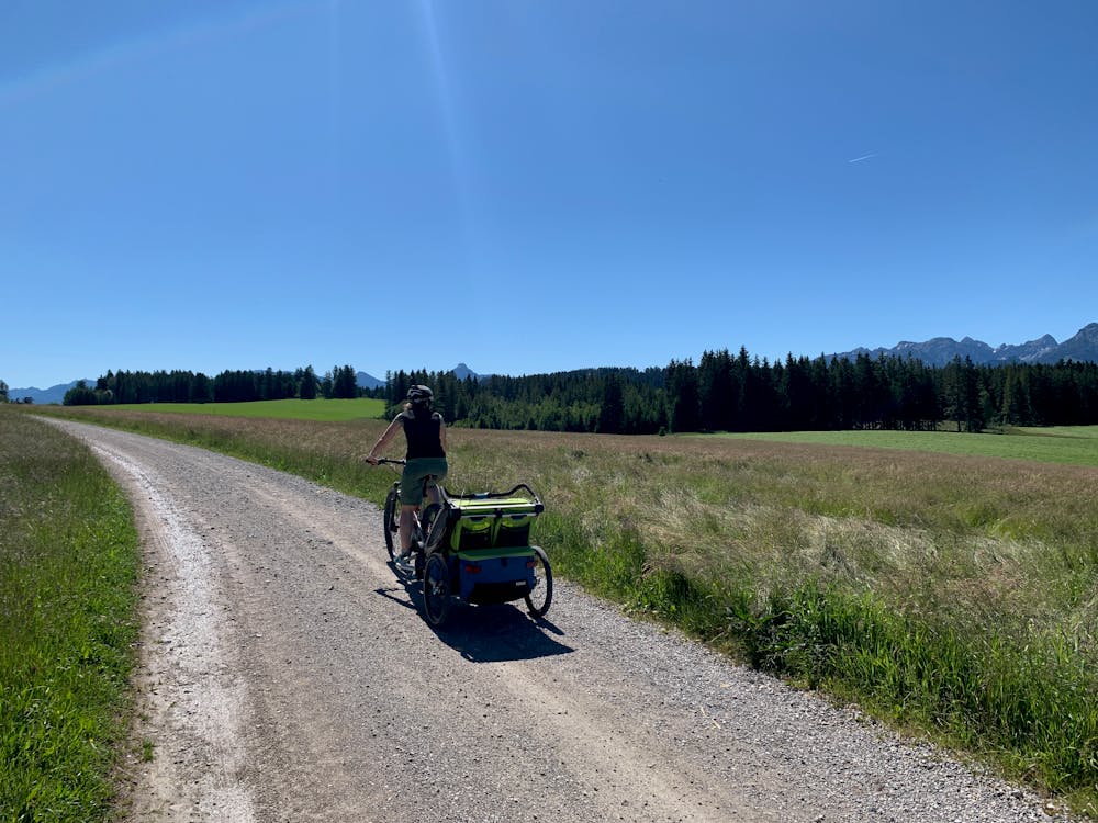
Starting at the bakery in the quaint town of Nesselwang, follow the road out of the town to Schicken. Here the gravel begins!
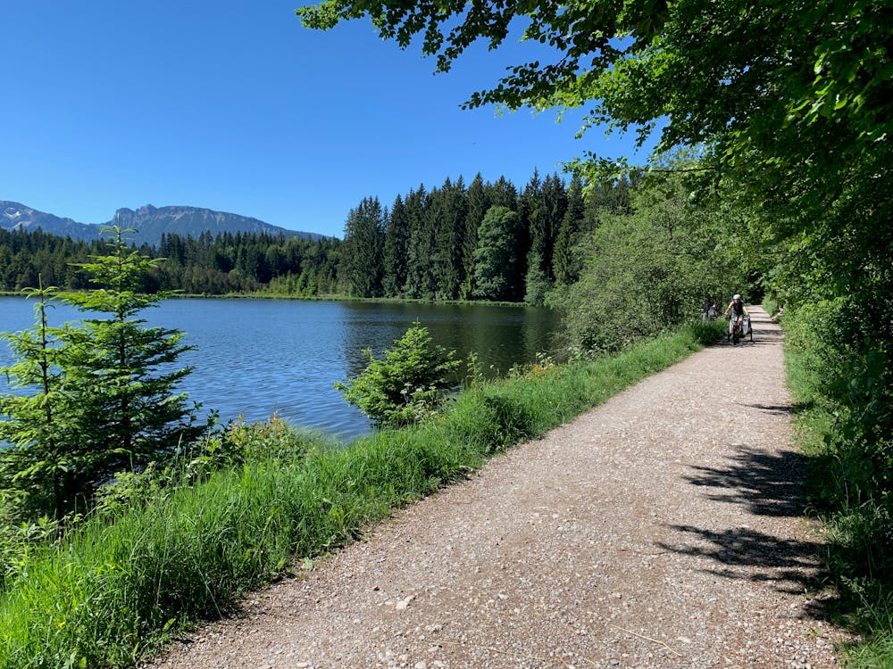
Enjoy a relatively flat trail past the Kogelweiher lake through some forests and out towards Attlesee.
Crossing over the motorway you'll soon pass a small fishing lake and then arrive at Schwaltenweiher. Here's a great place for a break with a large open grassy area and a picturesque lake to swim in! There's even a small kiosk with food and drinks.
Continue around the lake on a very short cycle lane next to the road and then you'll soon be back on the gravel again.
Heading south, you'll enjoy the view of the towering Allgäu Alps ahead of you, before swinging back over the motorway again and winding through farms and country lanes back to Nesselwang.
Finishing at the bakery, you can enjoy some well-earned treats (just not on a Sunday when everything is closed!).
Difficulty
Easy
Remoteness

Close to help in case of emergency.