Falkenstein Castle Trail
Advanced riders only! Steep and technical trail.
Mountain Biking Severe
- Distance
- 11 km
- Ascent
- 440 m
- Descent
- 439 m
- Duration
- 1-2 hrs
- Low Point
- 838 m
- High Point
- 1.2 km
- Gradient
- 16˚

A short but challenging loop up to the ruins at the top of Falkenstein and down some testing and technical single track.
- •
- •
- •
- •
Description
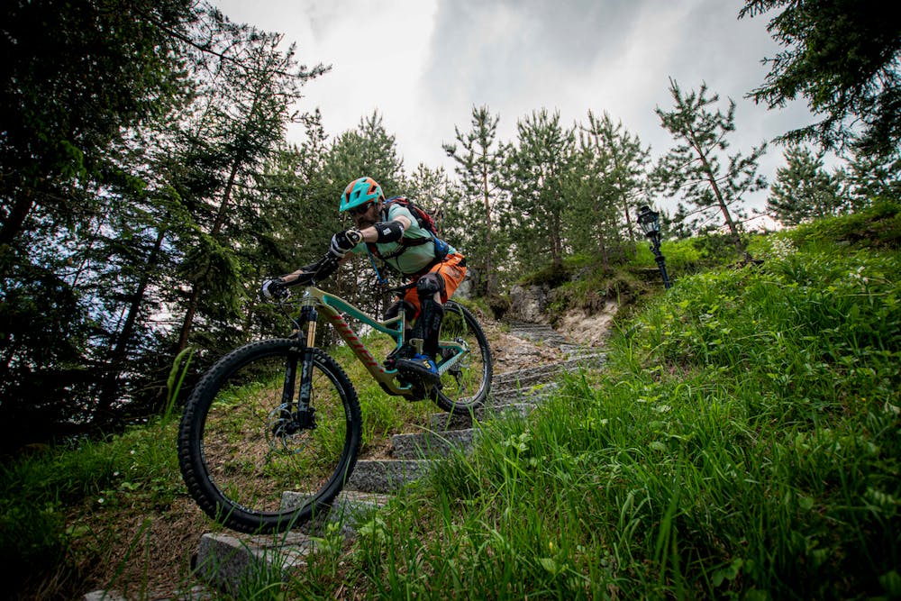
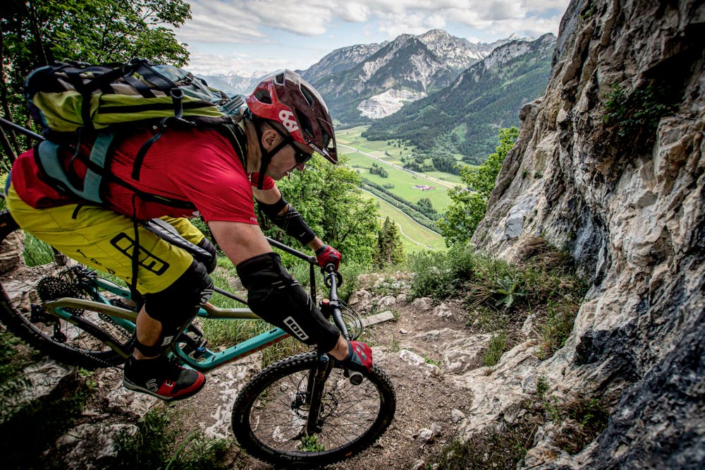
Note: The downhill section after the castle is very steep and technical, and would only recommend for advanced riders.
From the Breitenbergbahn lift station parking, you cross the railway tracks and follow the track clockwise around to the North side of Falkenstein.
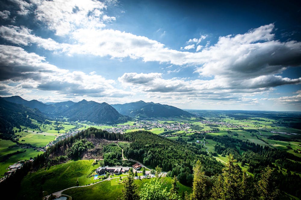
Join the road and follow this to the top of the mountain, where stunning views of the Allgäu Alps await. You can also check out the castle ruins here.
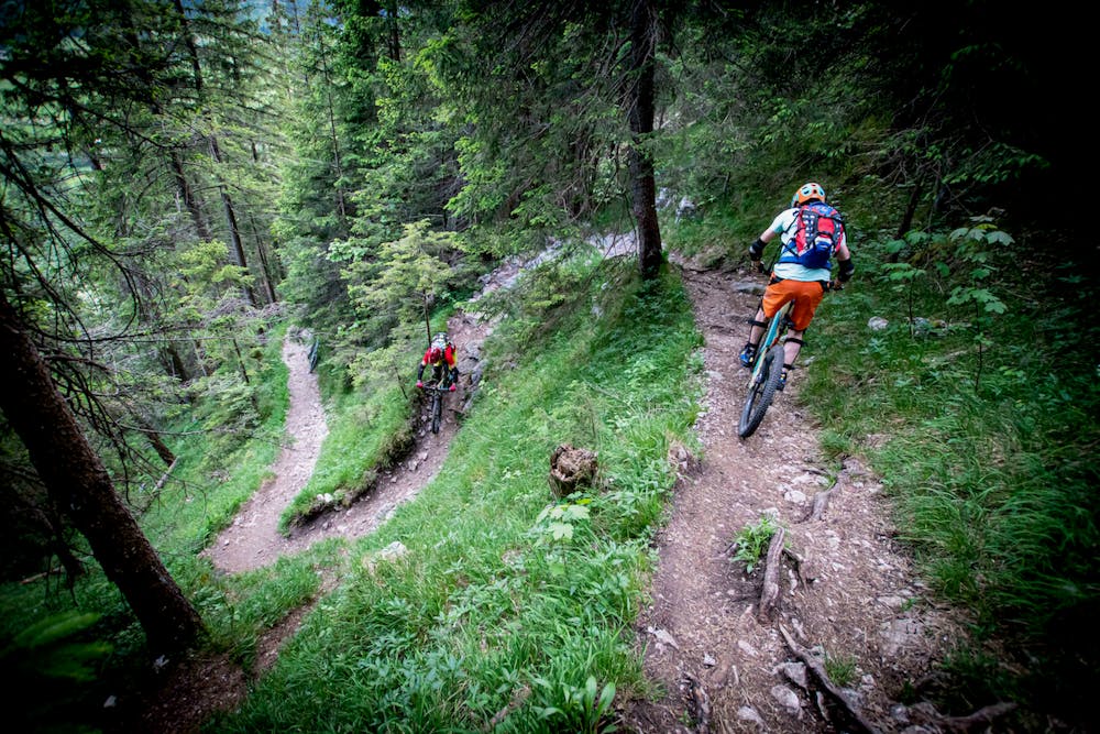
Head down the marked trail but be warned this is switchbacks, drops and roots all the way so an advanced riding level is needed.
Also watch out for walkers as they share this path!
Difficulty
Severe
Widely variable, narrow trail tread with steeper grades and unavoidable obstacles of 15in/38cm tall or less. Obstacles may include unavoidable bridges 24in/61cm wide or less, large rocks, gravel, difficult root sections, and more. Ideal for advanced-level riders.
Extreme Exposure

Some trail sections are extremely exposed where falling will almost certainly result in serious injury or death.
Remoteness

Away from help but easily accessed.
Best time to visit
Features
- Technical
- Picturesque
- Singletrack
- In the forest
- Road sections
- Drops
- Roots
- Rock Gardens