Mountain Bike Stein - Schlehdorf / Kochel
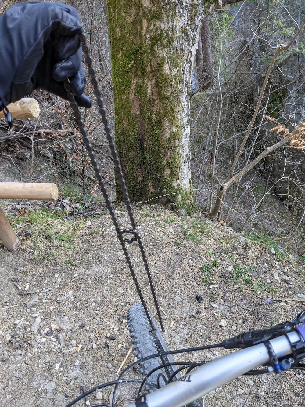
A nice roundtrack with almost a bit Downhill Feeling (sorry only took one pic of my broken chain)
Mountain Biking Moderate
- Distance
- 16 km
- Ascent
- 336 m
- Descent
- 336 m
- Duration
- 1-2 hrs
- Low Point
- 597 m
- High Point
- 805 m
- Gradient
- 8˚

It is an easy road/track the whole way - we start from Schlehdorf and go all the way way up direction to Stein just to go down to the Power Plant in Altjoch pretty soon. Be careful when you ride down, you can get pretty fast if you wish but there are quite some people hiking or on their way to the local climbing routes - watch your speed and take care.
Difficulty
Moderate
Mostly stable trail tread with some variability, with unavoidable obstacles 8in/20cm tall or less. Other obstacles such as rock gullies and steep sections may exist. Ideal for lower intermediate riders.
Medium Exposure

The trail contains some obstacles such as outcroppings and rock which could cause injury.
Remoteness
Away from help but easily accessed.
Best time to visit
Features
- Picturesque
- Singletrack
- In the forest
- Road sections
- Jumps
- Roots