Berlin Half Marathon 2018
The official course for the 2018 Berlin Half Marathon
Hiking Easy
- Distance
- 21 km
- Ascent
- 51 m
- Descent
- 51 m
- Duration
- 4-5 hrs
- Low Point
- 31 m
- High Point
- 37 m
- Gradient
- 1˚

This is a popular hiking route which is generally considered to be easy. It's an unknown remoteness, it features unknown exposure and is typically done in an unknown time of year. From a low point of 31 m to the maximum altitude of 37 m, the route covers 21 km, 51 vertical metres of ascent and 51 vertical metres of descent.
Description
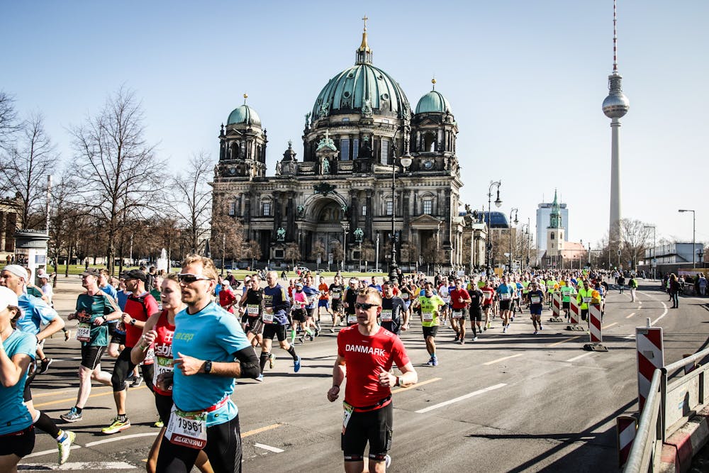
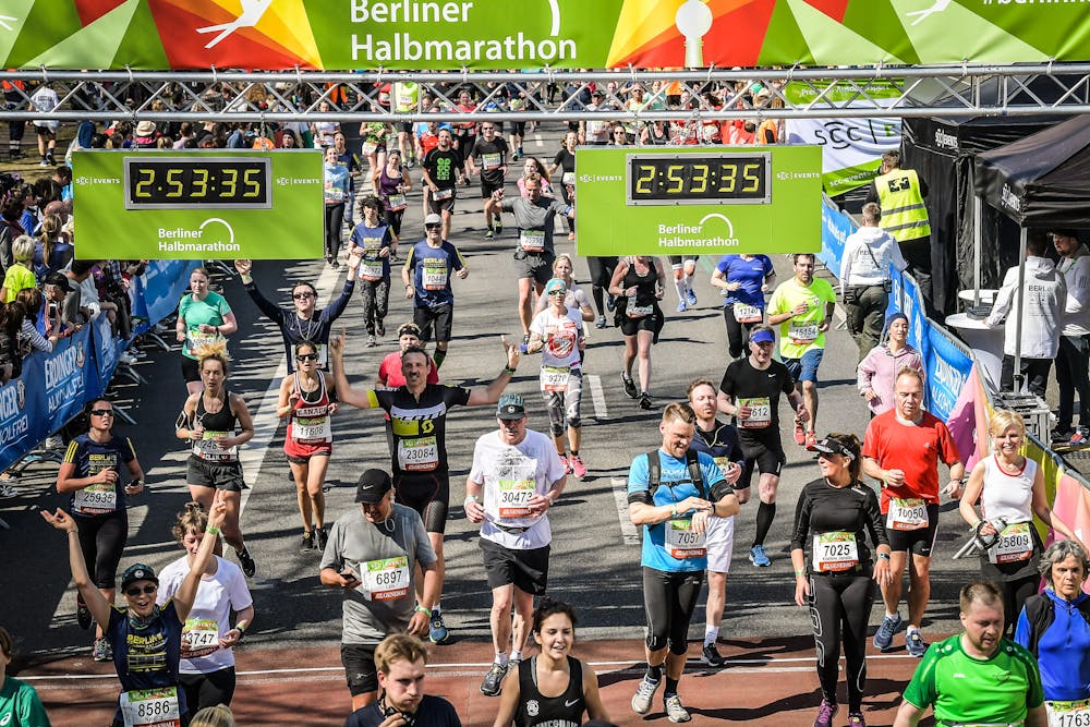
This is the route of the 2018 Berlin Half Marathon.
It's a scenic run through Berlin past many classic sights including the TV Tower, Dome, Schloss Charlottenburg and Checkpoint Charlie.
Difficulty
Easy
Walking along a well-kept trail that’s mostly flat. No obstacles are present.