9.5 km away
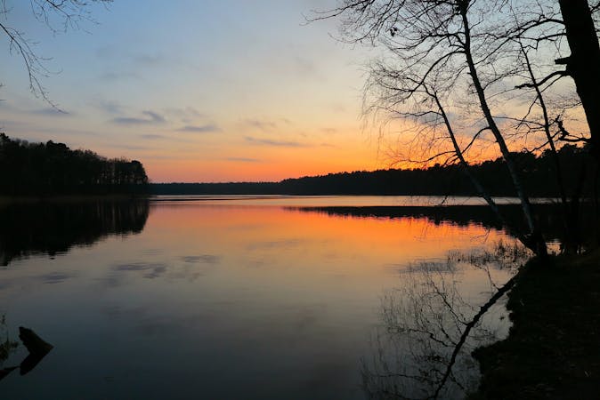
Kaulsdorfer Seen
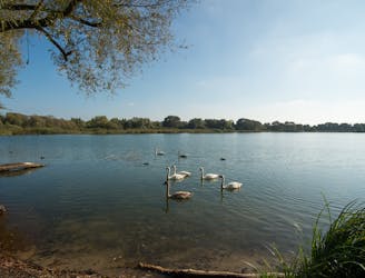
Walk around 3 tranquil lakes in East Berlin.
Easy Hiking
- Distance
- 9 km
- Ascent
- 40 m
- Descent
- 40 m
Short walk close to Treptower Park to do with the kids
Hiking Easy

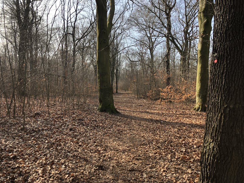
This is a popular hiking route which is generally considered to be easy. It's not remote, it features low exposure and is typically done between February and September. From a low point of 33 m to the maximum altitude of 35 m, the route covers 3.7 km, 2 vertical metres of ascent and 2 vertical metres of descent.
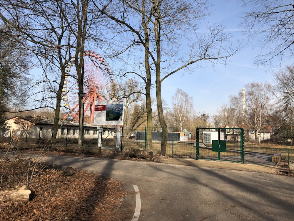
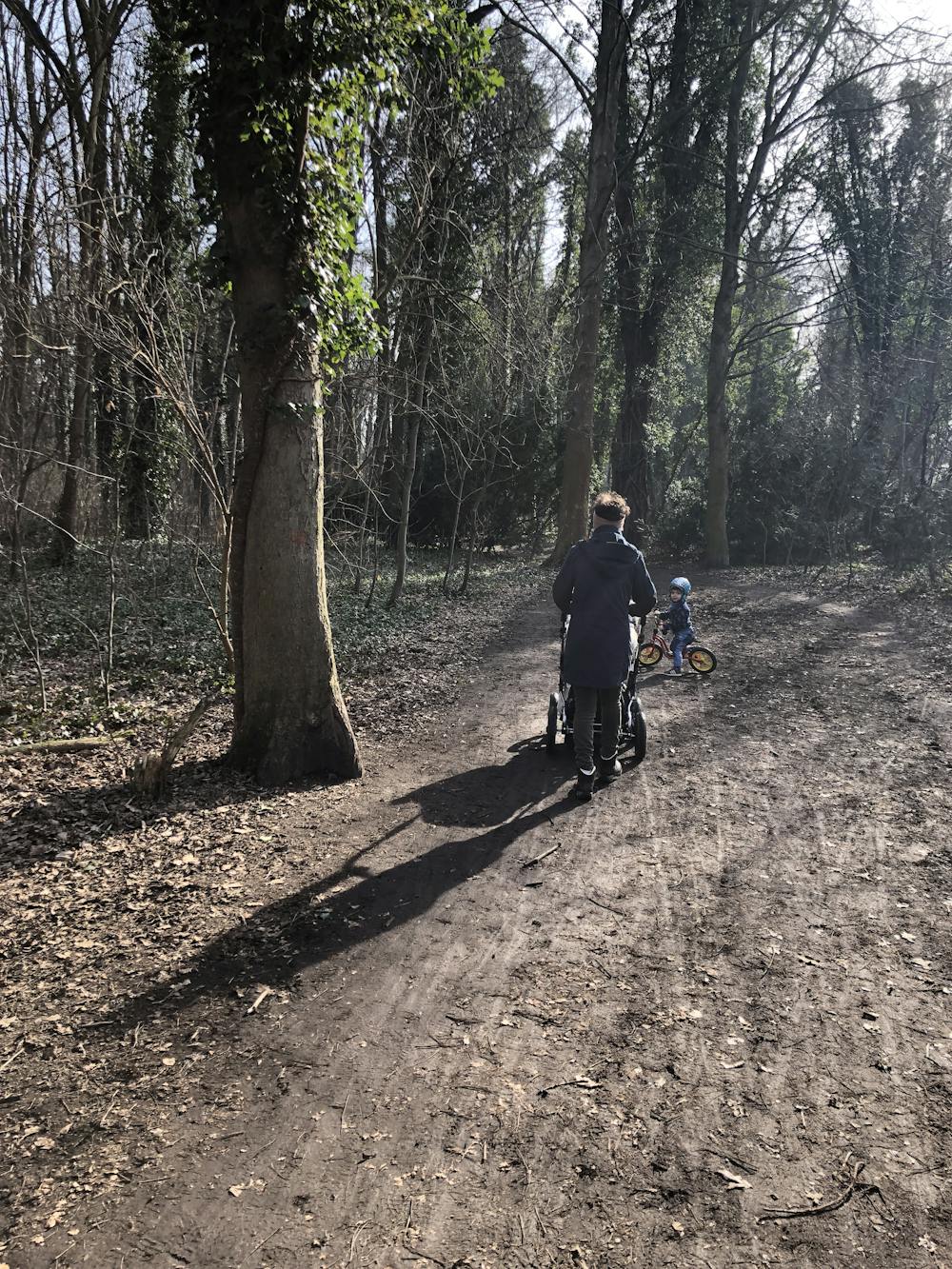

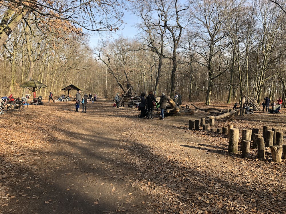
Nice walk through the Plänterwald wood. At the south extreme you will find a small wood park with swings and a picnic area.
Easy
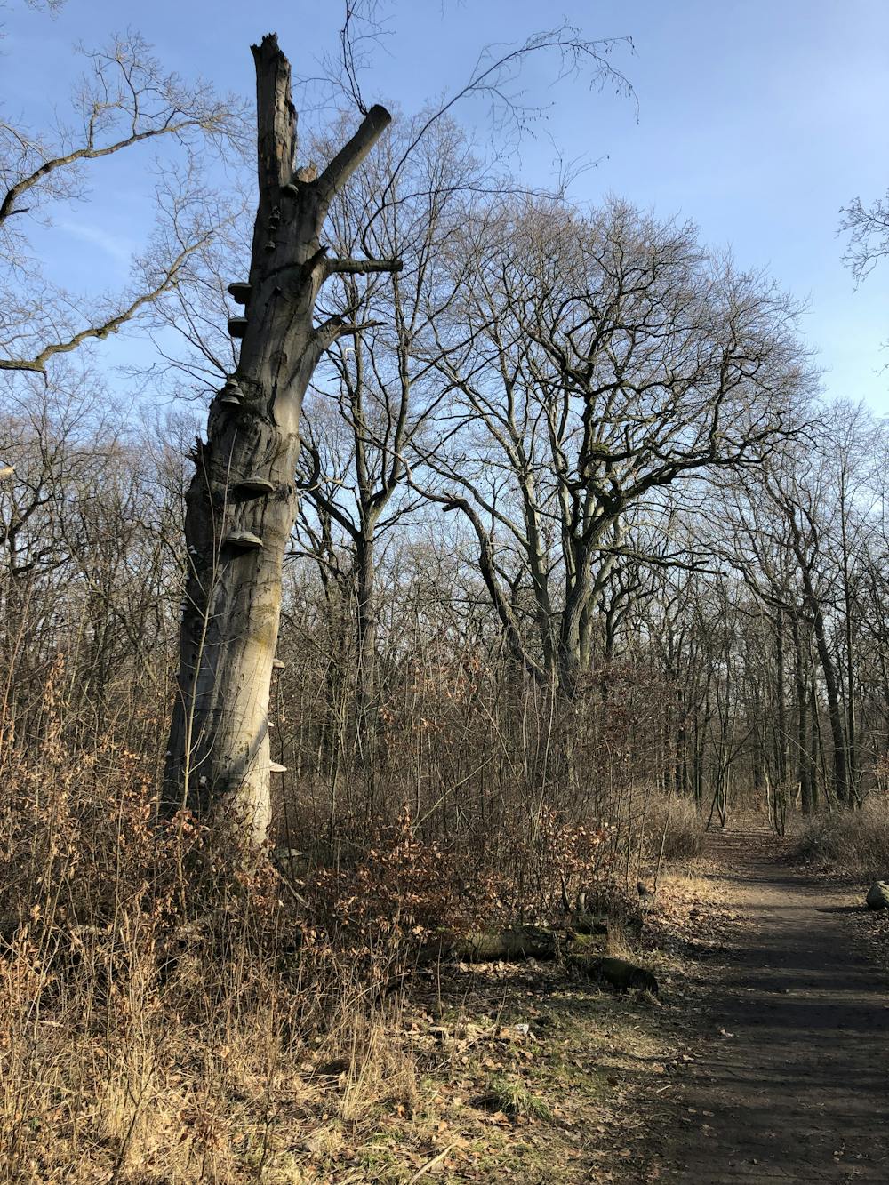
Walking along a well-kept trail that’s mostly flat. No obstacles are present.

The path is on completely flat land and potential injury is limited to falling over.
Close to help in case of emergency.
9.5 km away
Walk around 3 tranquil lakes in East Berlin.
Easy Hiking
6 routes · Gravel Biking · Hiking