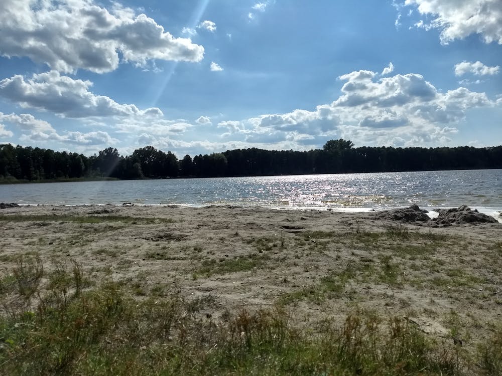
Bike trip to Gorinsee from Berlin
A nice day trip from the city to a lake. There is also the possibility to bike around the lake
Mountain Biking Moderate
- Distance
- 45 km
- Ascent
- 115 m
- Descent
- 119 m
- Duration
- 2-3 hrs
- Low Point
- 37 m
- High Point
- 62 m
- Gradient
- 0˚

This is a popular mountain biking route which is generally considered to be moderate. It's not remote, it features low exposure and is typically done between March and October. From a low point of 37 m to the maximum altitude of 62 m, the route covers 45 km, 115 vertical metres of ascent and 119 vertical metres of descent.
Description
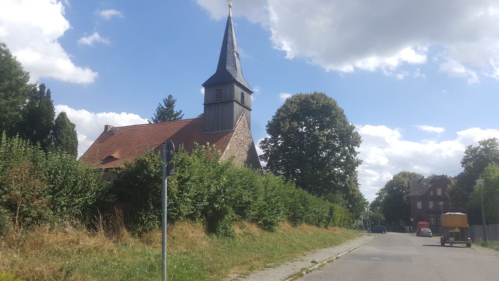
A fun ride overall but it's easy to lose yourself on the way! There are a variety of terrains: road, sand, gravel... I would not recommend to beginners.
Difficulty
Moderate
Mostly stable trail tread with some variability, with unavoidable obstacles 8in/20cm tall or less. Other obstacles such as rock gullies and steep sections may exist. Ideal for lower intermediate riders.
Low Exposure

The path is on completely flat land and potential injury is limited to falling over.
Remoteness
Close to help in case of emergency.
Best time to visit
Features
- Picturesque
- Road sections