Trail Park Winterberg
A great trail park with fun, flowy blues to challenging, techy blacks.
Mountain Biking Moderate
- Distance
- 10 km
- Ascent
- 354 m
- Descent
- 355 m
- Duration
- 1-2 hrs
- Low Point
- 642 m
- High Point
- 806 m
- Gradient
- 7˚

The Trail Park Winterberg offers flowing trails classified from easy to difficult (graded as blue, red, and black trails by the Park). The trails offer mainly family-friendly laps, but even advanced mountain bikers can find challenges here.
Description
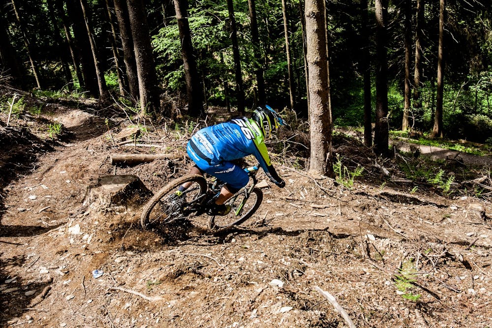
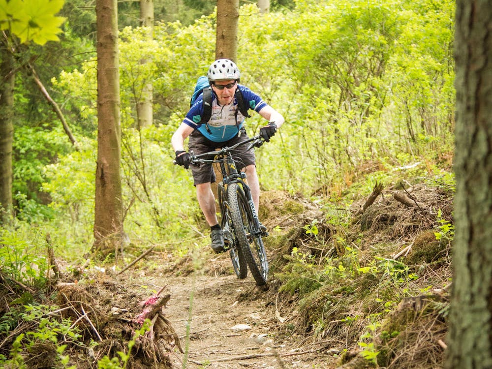
The Trail Park provides 60 kilometers of total distance, 20 kilometers of which is singletrack, and a total of 1,905 vertical meters. The trails here are narrow, largely natural paths that can only be traveled in one direction. For mountain bikers, they are coveted delicacies.
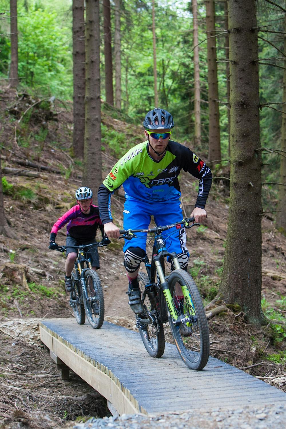
The trails here are all designed especially for mountain bikers. The trails are built with or incorporate curvy berms with North Shore elements, roots, and rock gardens. The desire for "flow" here is the deciding factor, ie the fluidity of riding the routes.
Whether cross-country rider or adrenaline junky, the fun factor in this free to use trail park is consistently high.
This great route links together the best trails. It offers a mix of all trail grades, but it is best0suited to an intermediate rider. That said, there are only two trails which are graded black and they are towards the end of the route, so a beginner rider could either walk those trails or take an alternative route. The rest of the trails are all very ridable for a beginner, and all of the features have ride-around options.
The singletrack is reserved for the downhill trails while doubletrack is mostly taken uphill, all through the forest.
The Park is accessible with regular mountain and trail bikes, but also with all-terrain e-bikes.
These trails can be enjoyed year-round, and the level of difficulty will increase in poor weather and ground conditions.
Across the main road is "Bike Park Winterberg" for those wishing to incorporate a (paid) uplift mountain biking experience.
Difficulty
Moderate
Mostly stable trail tread with some variability, with unavoidable obstacles 8in/20cm tall or less. Other obstacles such as rock gullies and steep sections may exist. Ideal for lower intermediate riders.
Low Exposure

The path is on completely flat land and potential injury is limited to falling over.
Remoteness

Away from help but easily accessed.
Best time to visit
Features
- Flow
- Technical
- Picturesque
- Singletrack
- In the forest
- Wet-weather friendly
- Drops
- Roots
- Tabletops
- Rock Gardens
- Wooden Feature