2 Mining Dump Tour
Connects two of the highest dumps in Saarland with fantastic views
Trail Running Moderate
- Distance
- 21 km
- Ascent
- 548 m
- Descent
- 548 m
- Duration
- 2-3 hrs
- Low Point
- 254 m
- High Point
- 413 m
- Gradient
- 7˚

This is a popular trail running route which is generally considered to be moderate. It's not remote, it features low exposure and is typically done between March and November. From a low point of 254 m to the maximum altitude of 413 m, the route covers 21 km, 548 vertical metres of ascent and 548 vertical metres of descent.
- •
- •
- •
- •
- •
- •
- •
- •
Description
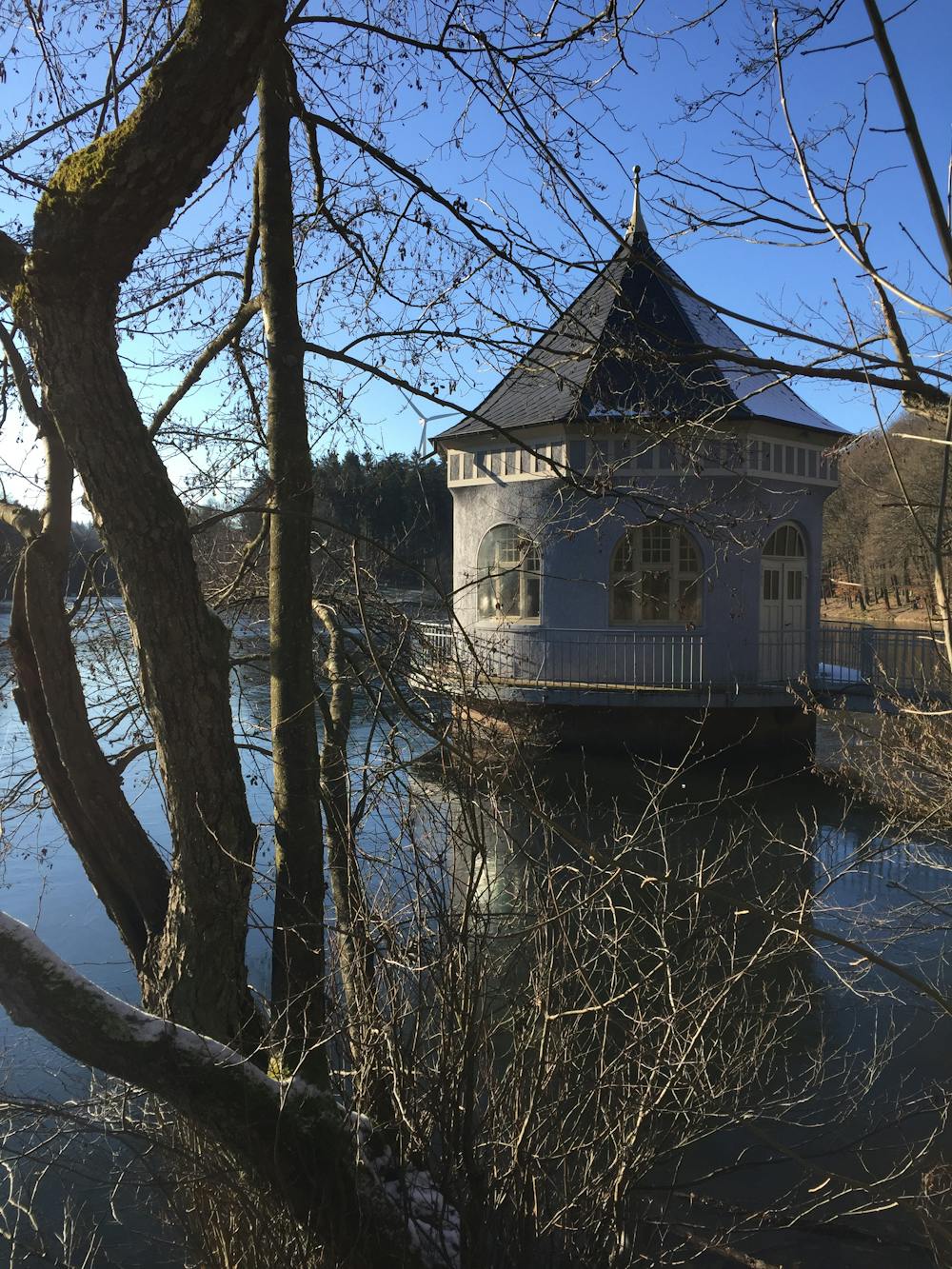
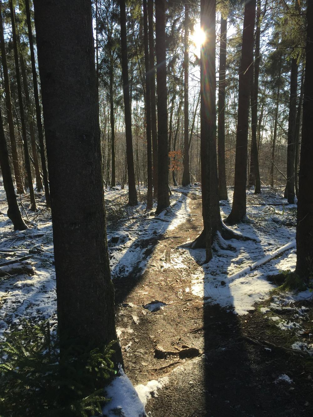
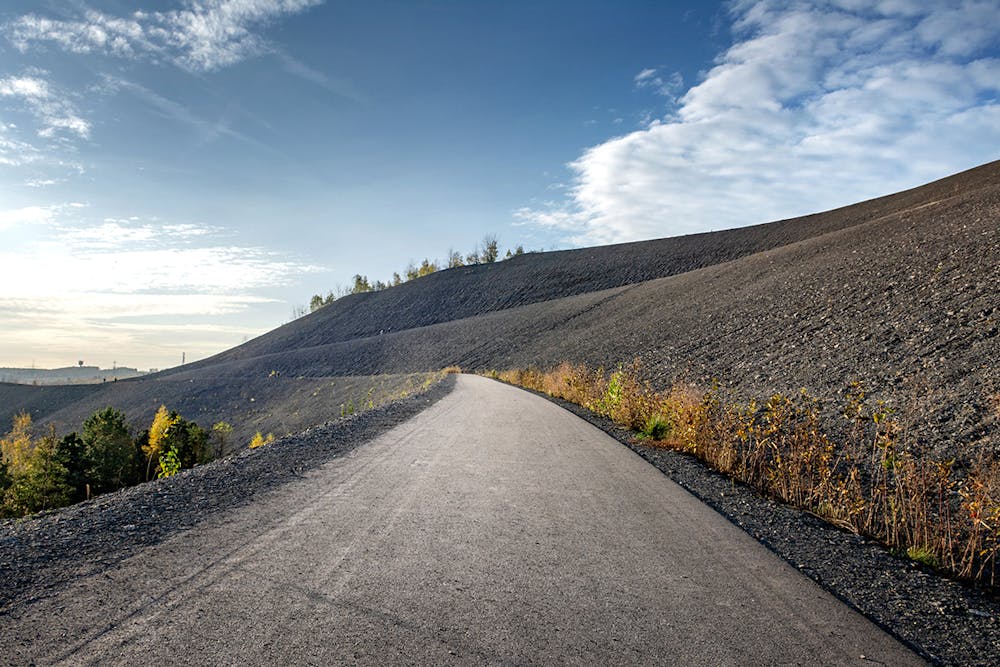
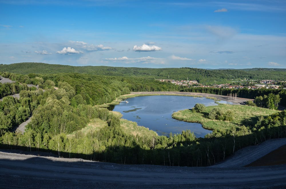
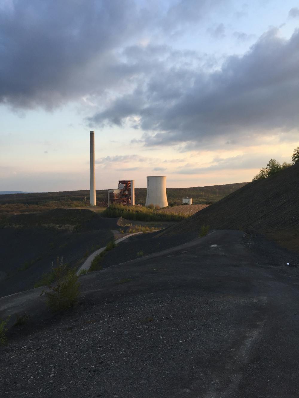
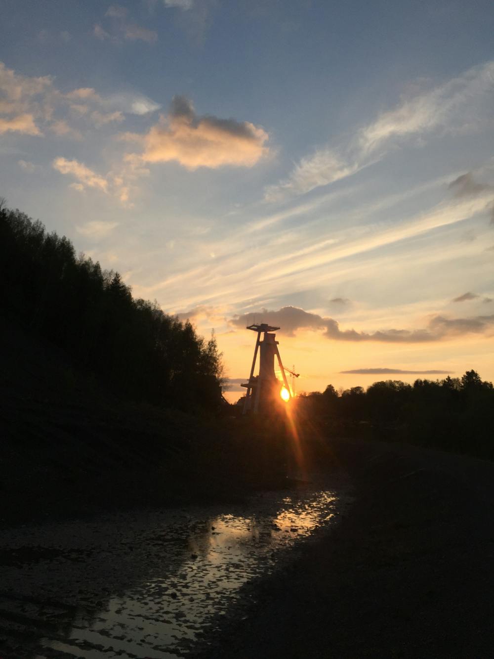
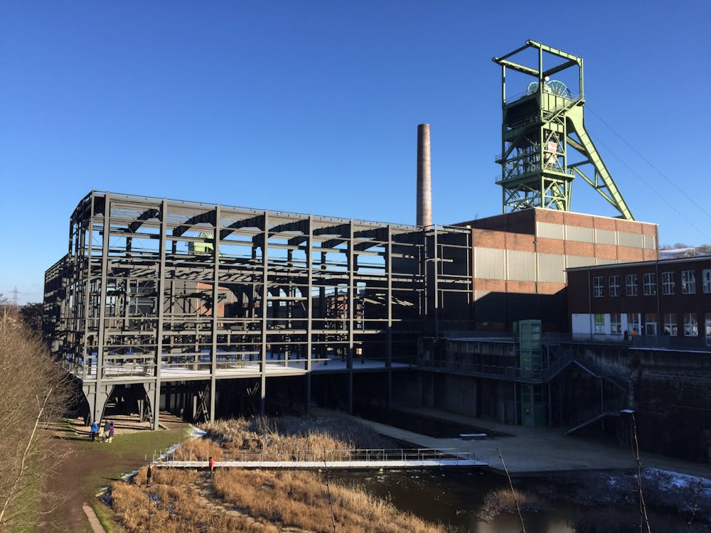
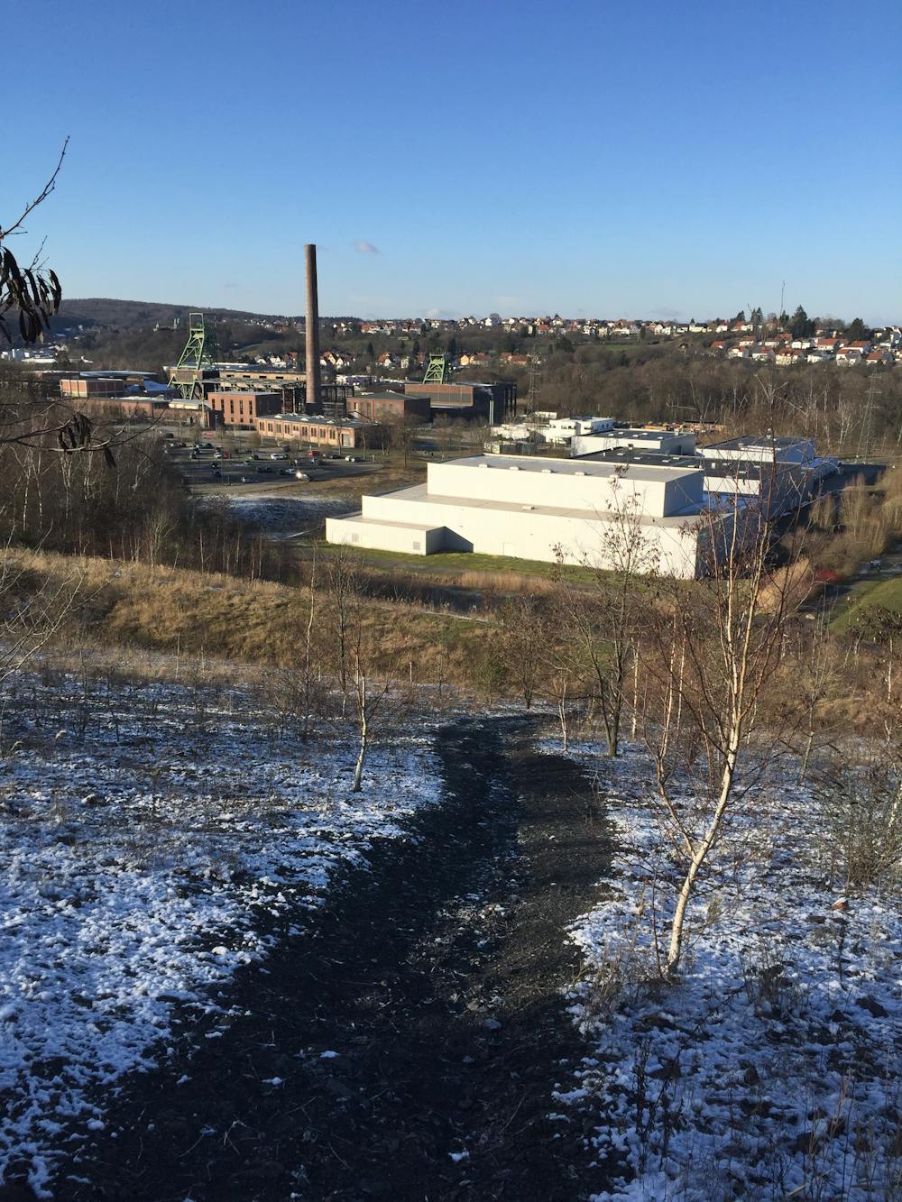
This trail tour connects the two mining dumps (Göttelborn and Reden) with the most fantastic views of the region. You are on the traces of coal mining in the Saarland while passing the shut down mines.
Difficulty
Moderate
Low Exposure

The path is on completely flat land and potential injury is limited to falling over.
Remoteness
Close to help in case of emergency.