Ymittos North - South
Ymittos mountain range in Athens: 30k north to south route
Trail Running Difficult
- Distance
- 31 km
- Ascent
- 1.7 km
- Descent
- 1.8 km
- Duration
- 6-7 hrs
- Low Point
- 179 m
- High Point
- 1 km
- Gradient
- 18˚

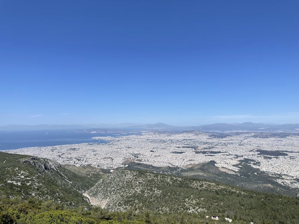
The Ymittos mountain range in Athens stretches for approximately 30 kilometers from north to south. The range is characterized by its rocky terrain and diverse vegetation, which includes pine and cypress trees as well as various types of shrubs and herbs. The mountains offer a range of running, hiking and cycling trails. Hikers can enjoy panoramic views of Athens and the surrounding coastline from various viewpoints along the range. Additionally, the mountains are home to a number of historic monasteries and churches, providing a glimpse into the region's rich cultural heritage.
Description
Remember to bring your own water as there are no fountains or lakes along the YmittoS mountain, food and nutrition is recommended
Difficulty
Difficult
Medium Exposure

The trail contains some obstacles such as outcroppings and rock which could cause injury.
Remoteness
Away from help but easily accessed.