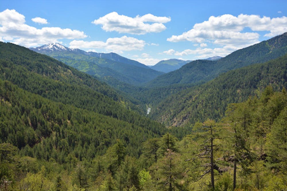
Vovousa-Distrato
29th daily stage of Pindus Trail
Also in Ipeiros, Greece
Hiking Moderate
- Distance
- 17 km
- Ascent
- 1 km
- Descent
- 1.1 km
- Duration
- 5-6 hrs
- Low Point
- 947 m
- High Point
- 1.4 km
- Gradient
- 15˚

This is a popular hiking route which is generally considered to be moderate. It's not remote, it features low exposure and is typically done between May and November. From a low point of 947 m to the maximum altitude of 1.4 km, the route covers 17 km, 1049 vertical metres of ascent and 1073 vertical metres of descent.
Description
The 29th daily stage, of the 860+ km Pindus Trail across the Pindus Mountain Range
Difficulty
Moderate
Hiking along trails with some uneven terrain and small hills. Small rocks and roots may be present.
Low Exposure

The path is on completely flat land and potential injury is limited to falling over.
Remoteness
Close to help in case of emergency.
Best time to visit
Features
- Wildlife
- Picturesque
- Wild flowers
- Water features