Olympus mount hiking
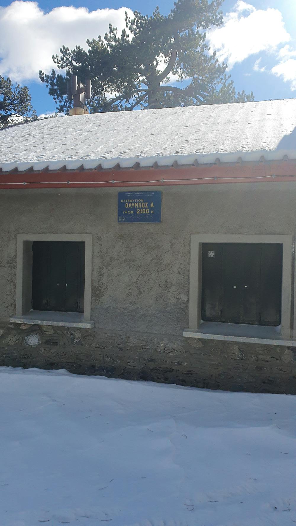
Prionia to Spilios Agapitos refugee hike
Hiking Moderate
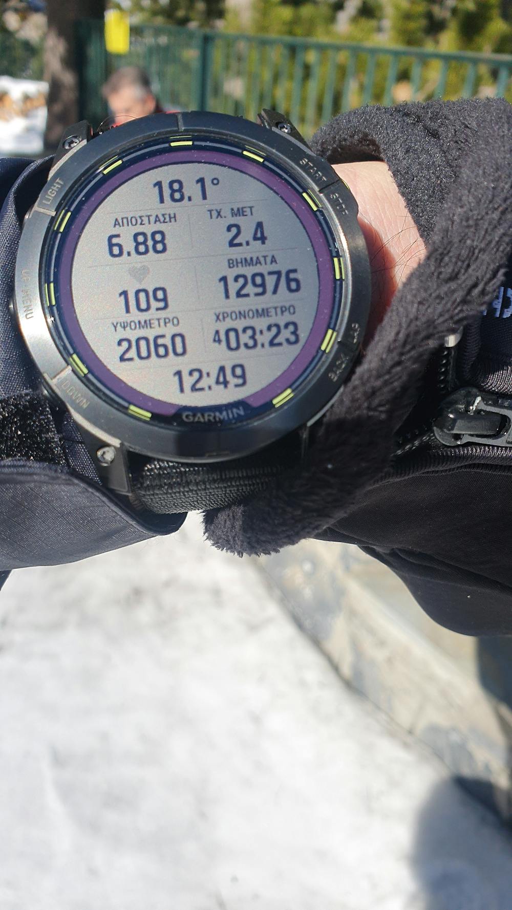
- Distance
- 6.6 km
- Ascent
- 900 m
- Descent
- 22 m
- Duration
- 2-3 hrs
- Low Point
- 1.2 km
- High Point
- 2 km
- Gradient
- 12˚

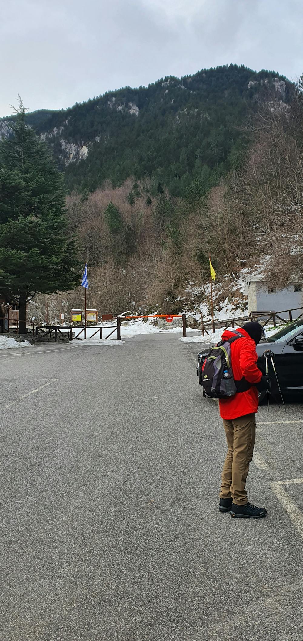
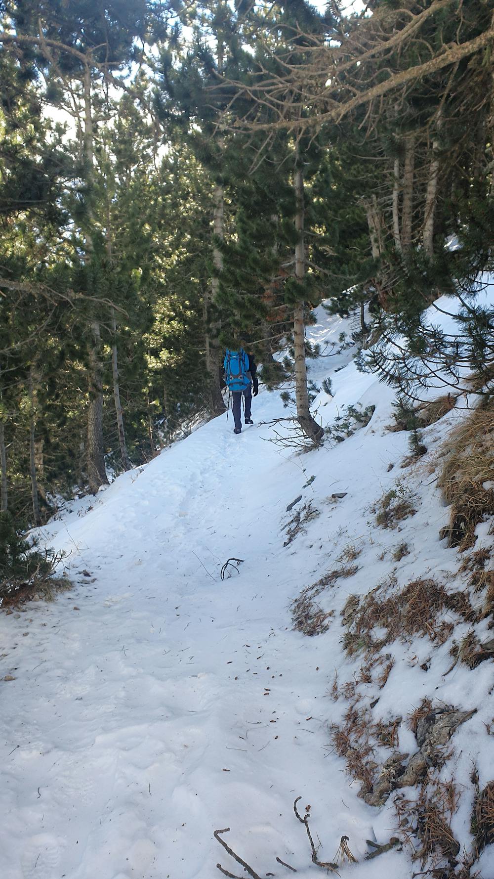
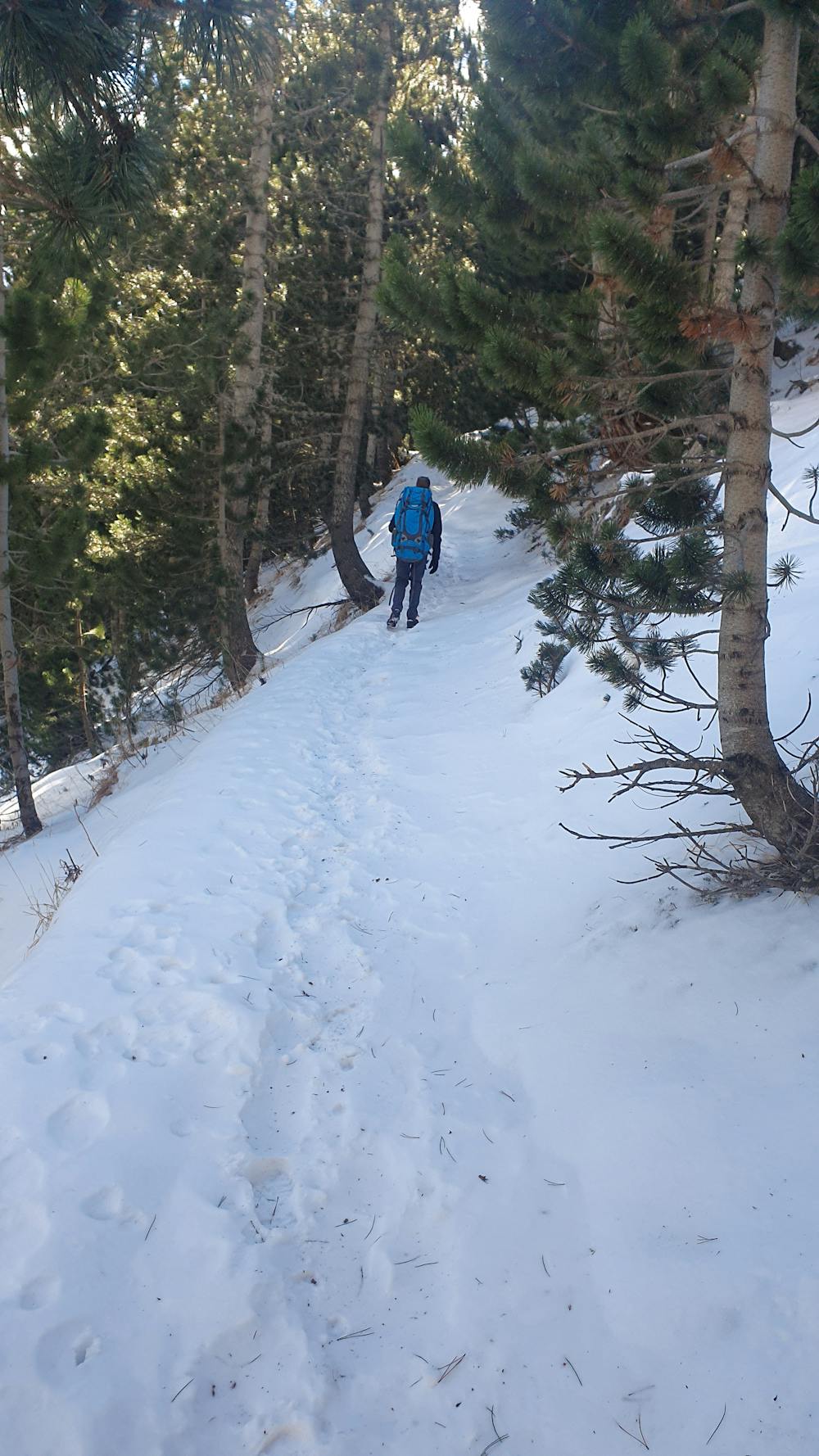
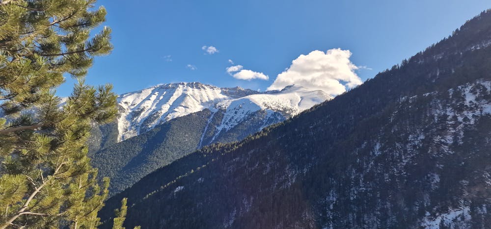
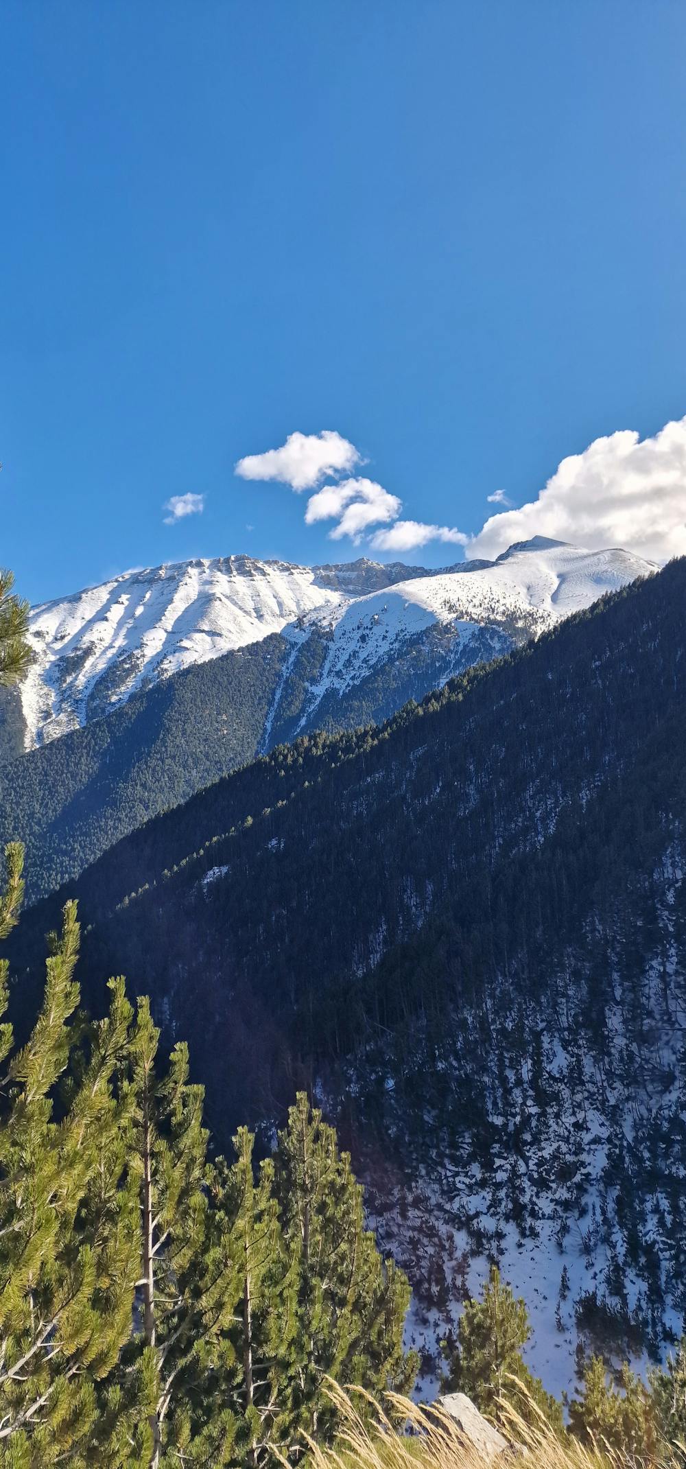
An easy and perhaps the most well-known route in Olympus. We start from the location of Prionia and from the parking lot of the location with destination Spilios Agapitos refuge. The route is on the international path E4 and is very well signposted.
- •
- •
- •
- •
- •
- •
- •
- •
- •
- •
Description
Μια εύκολη και ίσως η πιο γνωστή διαδρομή στον Όλυμπο. Ξεκινάμε απο την θέση Πριόνια και απο το πάρκινγκ της τοποθεσίας με προορισμό το καταφύγιο Σπήλιος Αγαπητός. Η διαδρομή είναι επάνω στο διεθνές μονοπάτι Ε4 και είναι παρα πολύ καλα σηματοδοτημένη.
Difficulty
Moderate
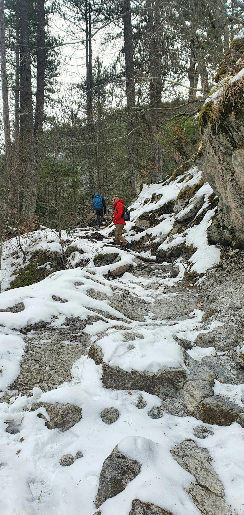
Hiking along trails with some uneven terrain and small hills. Small rocks and roots may be present.
Medium Exposure

The trail contains some obstacles such as outcroppings and rock which could cause injury.
Remoteness

Close to help in case of emergency.
Best time to visit
Features
- Historical
- Picturesque
- Summit Hike
- Dog friendly
- Family friendly
- Forestry or heavy vegetation