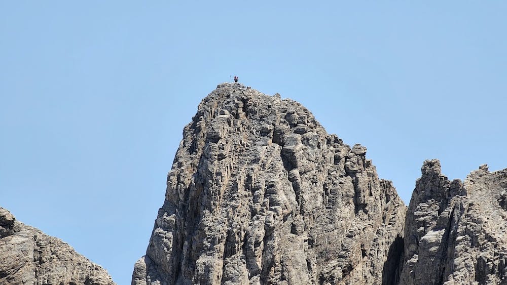
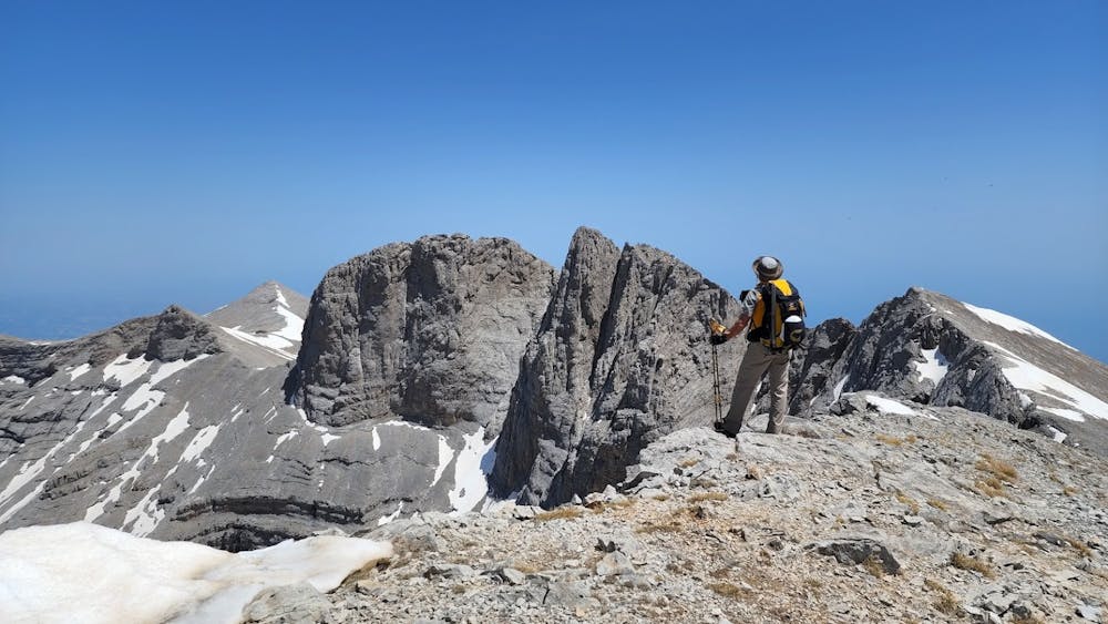
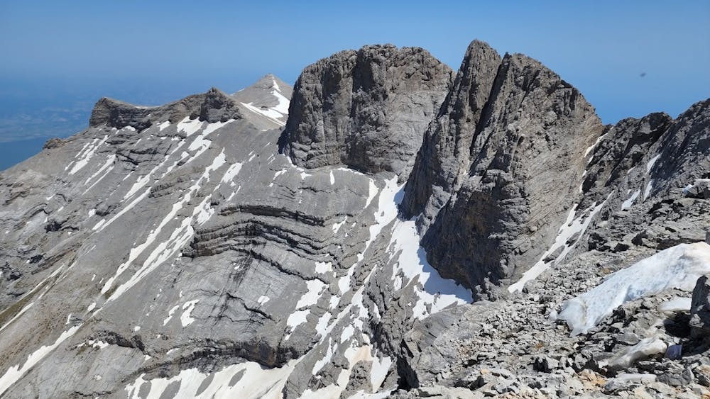
Three Peaks of Olympus from Prionia.
One day activity. HAMC.
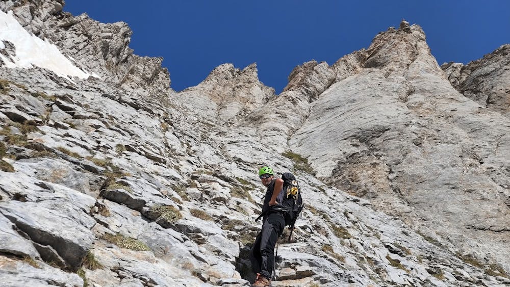
Hiking Difficult
- Distance
- 21 km
- Ascent
- 2 km
- Descent
- 2 km
- Duration
- 7-8 hrs
- Low Point
- 1.1 km
- High Point
- 2.9 km
- Gradient
- 18˚

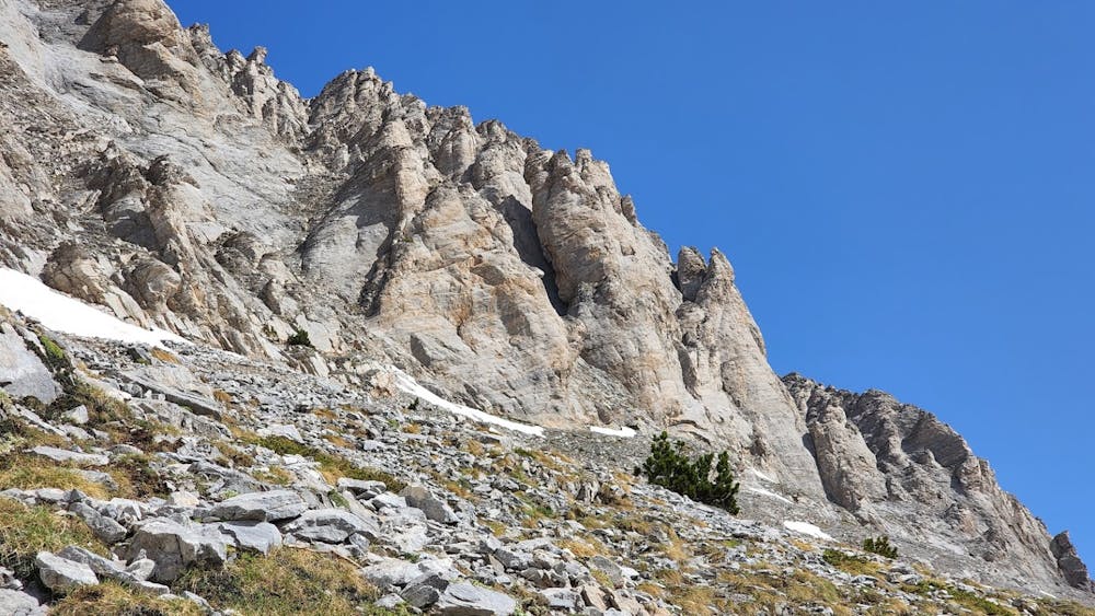
This is a popular hiking route which is generally considered to be difficult. It's not remote, it features high exposure and is typically done between May and October. From a low point of 1.1 km to the maximum altitude of 2.9 km, the route covers 21 km, 1955 vertical metres of ascent and 1957 vertical metres of descent.
- •
- •
- •
- •
- •
- •
Description
The land of Goods! Very challenging trail.
Difficulty
Difficult
Hiking trails where obstacles such as rocks or roots are prevalent. Some obstacles can require care to step over or around. At times, the trail can be worn and eroded. The grade of the trail is generally quite steep, and can often lead to strenuous hiking.
High Exposure

Some trail sections have exposed ledges or steep ascents/descents where falling could cause serious injury.
Remoteness

Close to help in case of emergency.
Best time to visit
Features
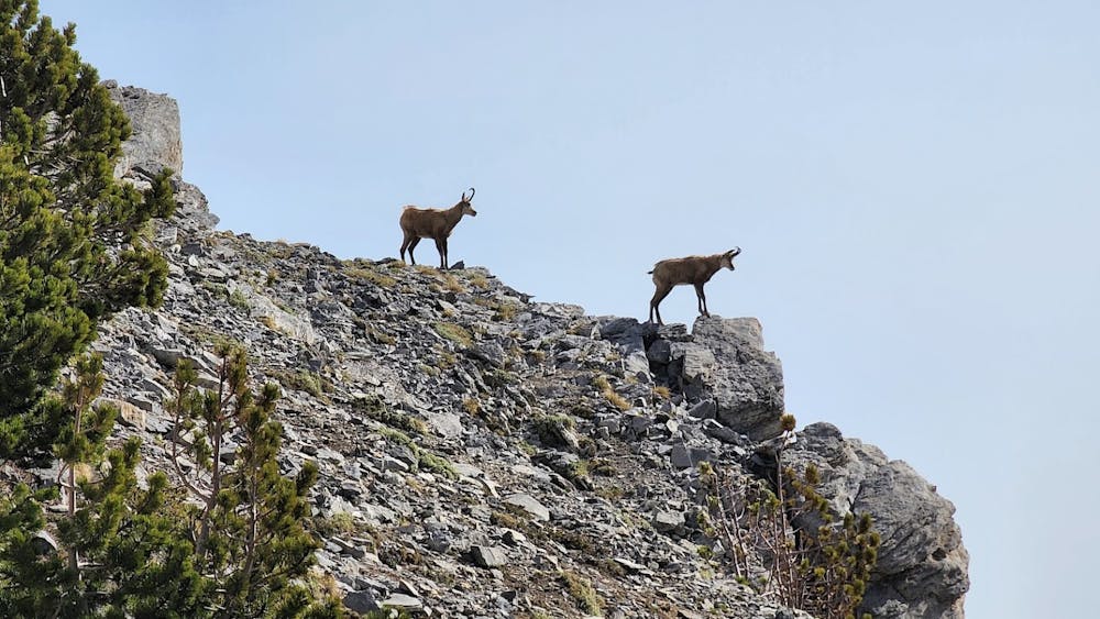
- Wildlife
- Picturesque
- Summit Hike
- Wild flowers
- Forestry or heavy vegetation