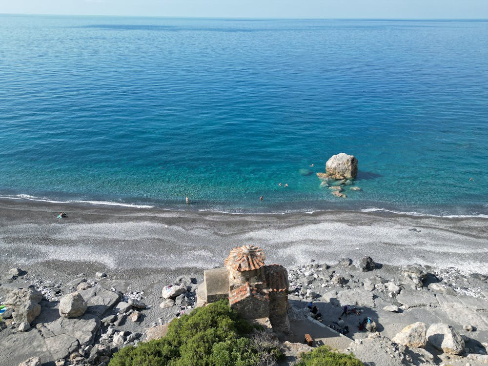
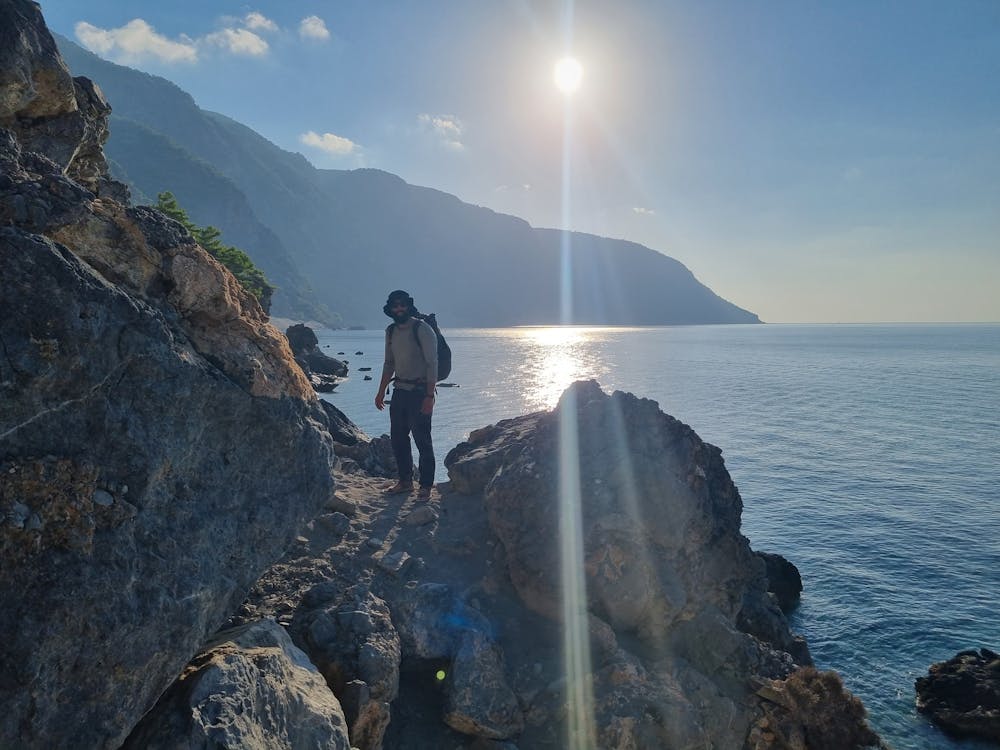
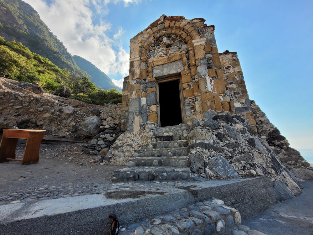
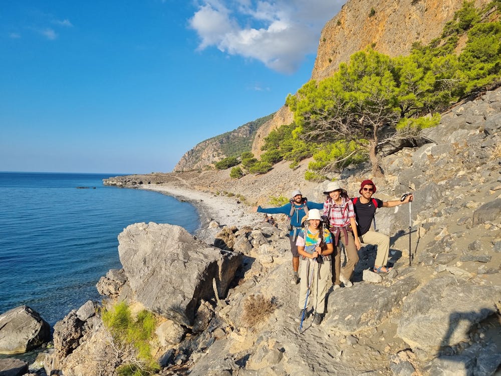
Crete Trek - Day 5 (Agia Roumeli to Lykos bt E4)
A long the shore hike mark by E4 trail.
Hiking Moderate
- Distance
- 12 km
- Ascent
- 388 m
- Descent
- 390 m
- Duration
- 3-4 hrs
- Low Point
- 3 m
- High Point
- 119 m
- Gradient
- 7˚

This is a popular hiking route which is generally considered to be moderate. It's remote, it features medium exposure and is typically done in May, September and October. From a low point of 3 m to the maximum altitude of 119 m, the route covers 12 km, 388 vertical metres of ascent and 390 vertical metres of descent.
- •
- •
- •
- •
Description
point-to-point trail from Agía Rouméli to Lykos bay. Generally considered a moderately challenging route, it takes an average of 3-5 h to complete. This is a very popular area for hiking, running, and walking, so you'll likely encounter other people while exploring.
Difficulty
Moderate
Hiking along trails with some uneven terrain and small hills. Small rocks and roots may be present.
Medium Exposure

The trail contains some obstacles such as outcroppings and rock which could cause injury.
Remoteness
Away from help but easily accessed.
Best time to visit
Features
- Wild flowers
- Forestry or heavy vegetation