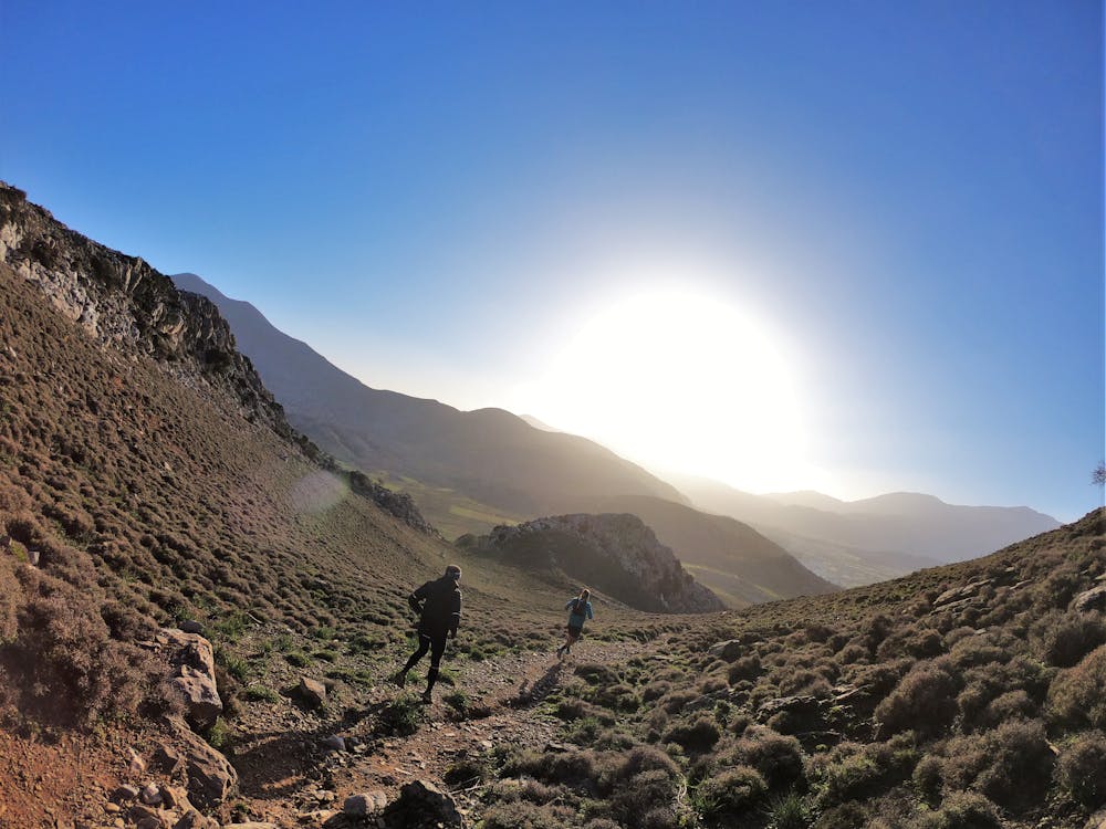
Kronio Skyrace 2024
This is the hardest and most demanding route of the Kronio Festival
Trail Running Severe
- Distance
- 32 km
- Ascent
- 1.6 km
- Descent
- 1.6 km
- Duration
- 6-7 hrs
- Low Point
- 592 m
- High Point
- 1.5 km
- Gradient
- 15˚

This is a popular trail running route which is generally considered to be severe. It's remote, it features high exposure and is typically done in undefined. From a low point of 592 m to the maximum altitude of 1.5 km, the route covers 32 km, 1604 vertical metres of ascent and 1604 vertical metres of descent.
Description
A true skyrunning race, with rocky trails, forest passages, plateau running and views to any distance your eye can reach.
Difficulty
Severe
High Exposure

Some trail sections have exposed ledges or steep ascents/descents where falling could cause serious injury.
Remoteness

Away from help but easily accessed.