Komakiá Loop Trail on Naxos
Amazing loop on ancient monopati (donkey trail)
Hiking Difficult
- Distance
- 8.5 km
- Ascent
- 468 m
- Descent
- 468 m
- Duration
- 2-3 hrs
- Low Point
- 355 m
- High Point
- 639 m
- Gradient
- 11˚

This is a popular hiking route which is generally considered to be difficult. It's remote, it features low exposure and is typically done all year round. From a low point of 355 m to the maximum altitude of 639 m, the route covers 8.5 km, 468 vertical metres of ascent and 468 vertical metres of descent.
Description
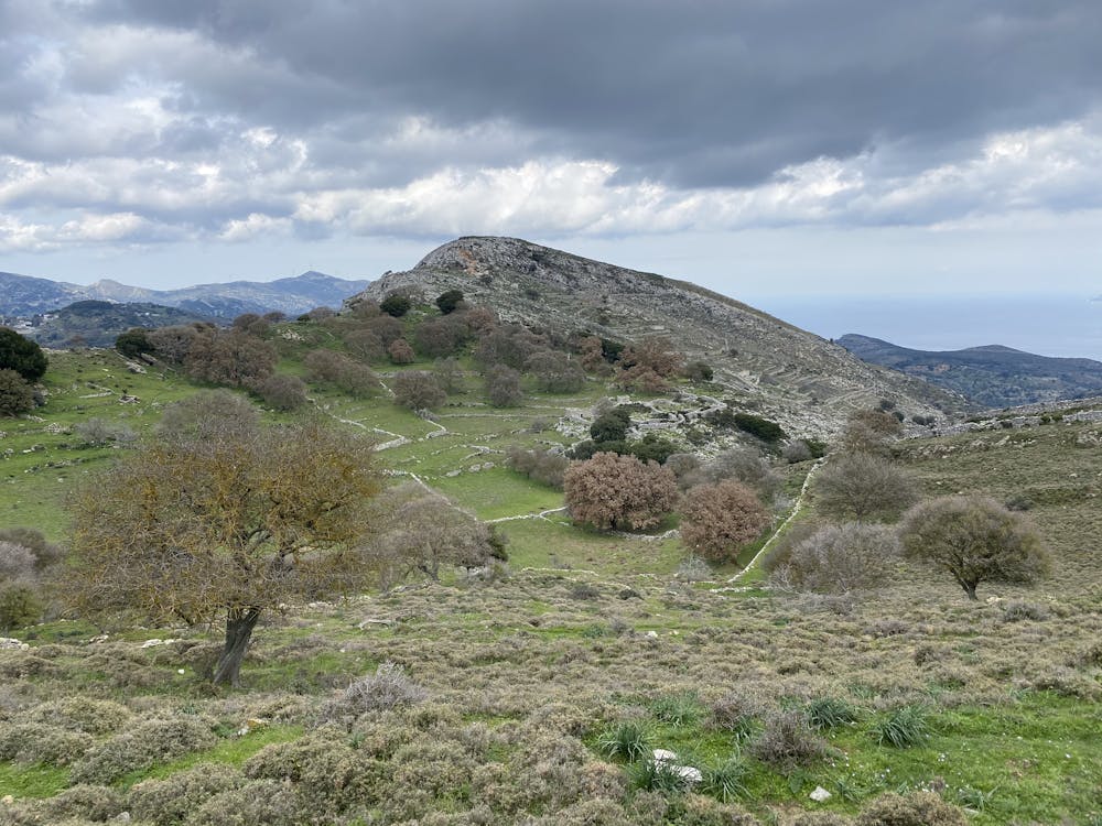
Amazing loop hike on old trails between villages and fields (called monopatia in Greek). You pass several Byzantine churches with multicentury old frescos, old farm houses, flocks of sheep and olives groves.
(The GPX trail is smoothed but accurate data from the actual tracking)
Difficulty
Difficult
Hiking trails where obstacles such as rocks or roots are prevalent. Some obstacles can require care to step over or around. At times, the trail can be worn and eroded. The grade of the trail is generally quite steep, and can often lead to strenuous hiking.
Low Exposure

The path is on completely flat land and potential injury is limited to falling over.
Remoteness

Away from help but easily accessed.
Best time to visit
Features
- Historical
- Picturesque
- Dog friendly
- Wild flowers
- Family friendly