Hike in the footsteps of the centaurs
A beautiful and easy route
Hiking Easy
- Distance
- 4.2 km
- Ascent
- 273 m
- Descent
- 269 m
- Duration
- 1-2 hrs
- Low Point
- 621 m
- High Point
- 882 m
- Gradient
- 10˚

This is a popular hiking route which is generally considered to be easy. It's remote, it features low exposure and is typically done between March and November. From a low point of 621 m to the maximum altitude of 882 m, the route covers 4.2 km, 273 vertical metres of ascent and 269 vertical metres of descent.
Description
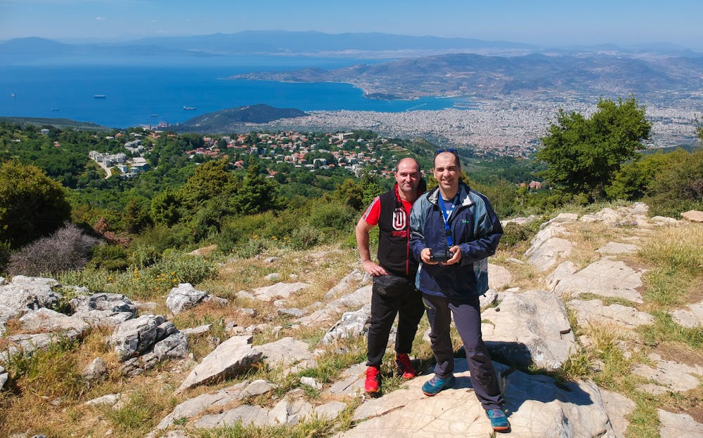
A splendid route that starts from the village of Portaria in Pelion and passes through the path of the centaurs and descends to a magical clearing overlooking the whole Pagasetic Gulf. Watch the video on YouTube https://youtu.be/zW7GfjXBg
Difficulty
Easy
Walking along a well-kept trail that’s mostly flat. No obstacles are present.
Low Exposure

The path is on completely flat land and potential injury is limited to falling over.
Remoteness

Away from help but easily accessed.
Best time to visit
Features
- Historical
- Picturesque
- Dog friendly
- Wild flowers
- Water features
- Family friendly
- Forestry or heavy vegetation