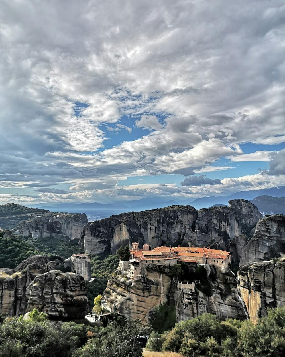
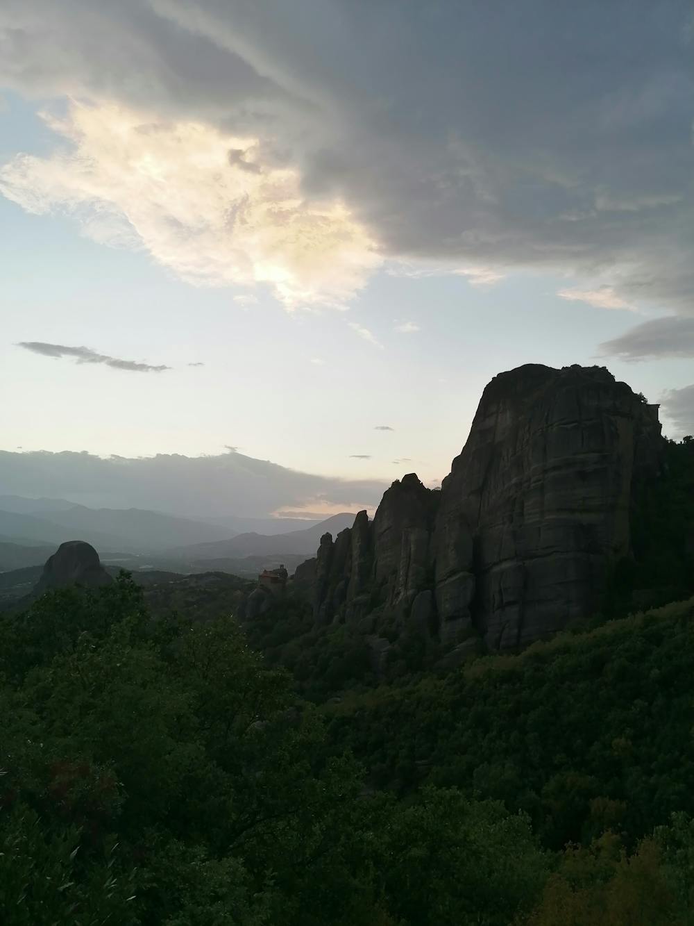
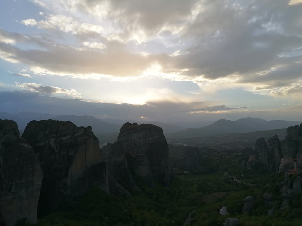
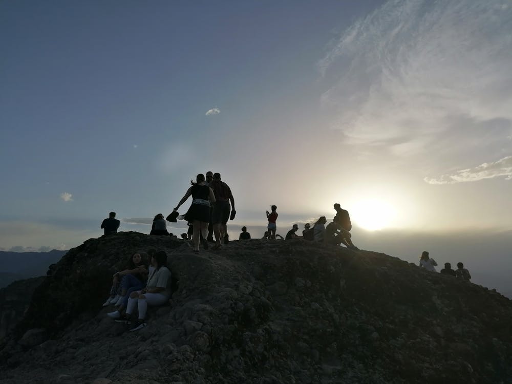
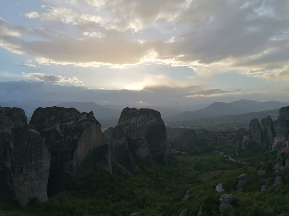
Meteora Circle
You are starting from Kastraki passing two main monasteries and the two main point of interests and ending up at Kastraki
Hiking Moderate
- Distance
- 11 km
- Ascent
- 487 m
- Descent
- 487 m
- Duration
- 2-3 hrs
- Low Point
- 295 m
- High Point
- 575 m
- Gradient
- 10˚

This is a popular hiking route which is generally considered to be moderate. It's remote, it features medium exposure and is typically done all year round. From a low point of 295 m to the maximum altitude of 575 m, the route covers 11 km, 487 vertical metres of ascent and 487 vertical metres of descent.
- •
- •
- •
- •
- •
Description
Meteora monasteries through the old trail
Difficulty
Moderate
Hiking along trails with some uneven terrain and small hills. Small rocks and roots may be present.
Medium Exposure

The trail contains some obstacles such as outcroppings and rock which could cause injury.
Remoteness
Away from help but easily accessed.
Best time to visit
Features
- Historical
- Picturesque
- Dog friendly
- Wild flowers
- Family friendly