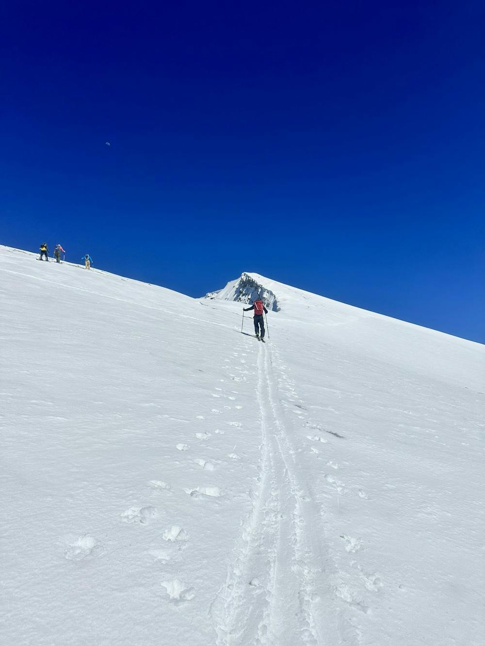
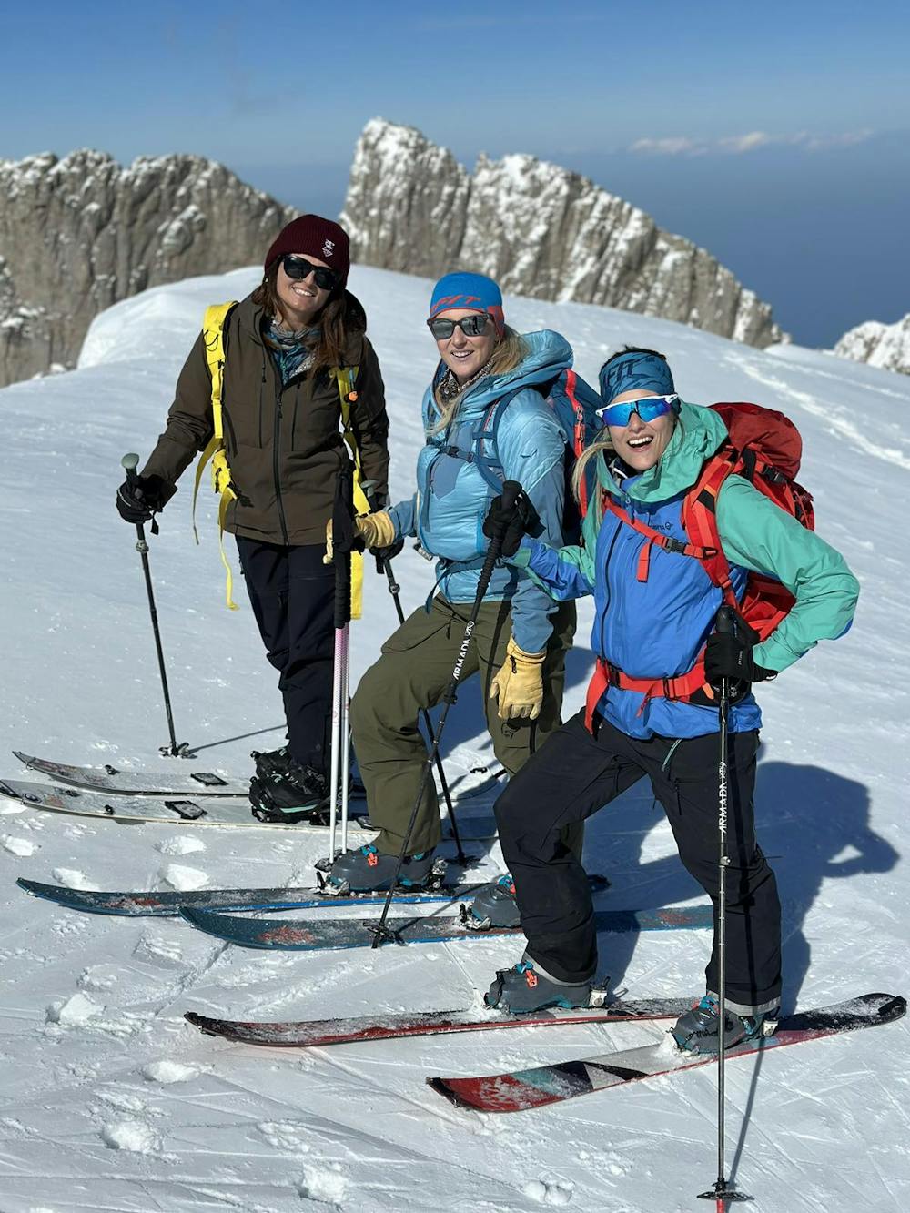
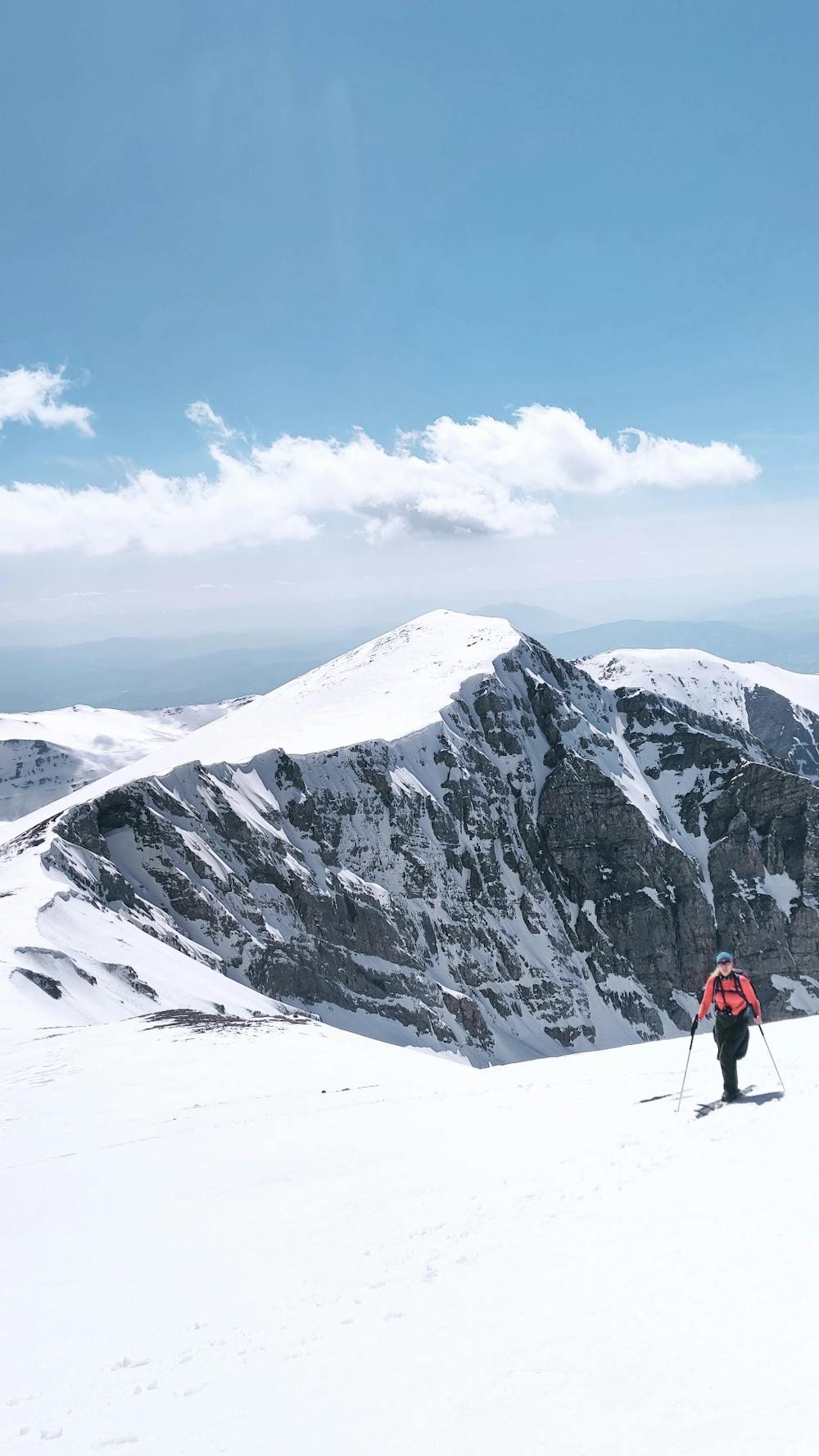
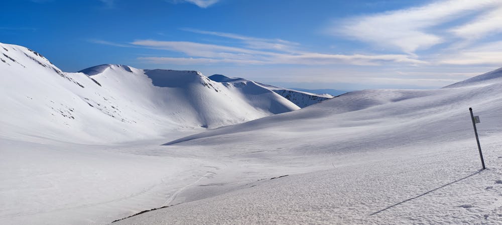
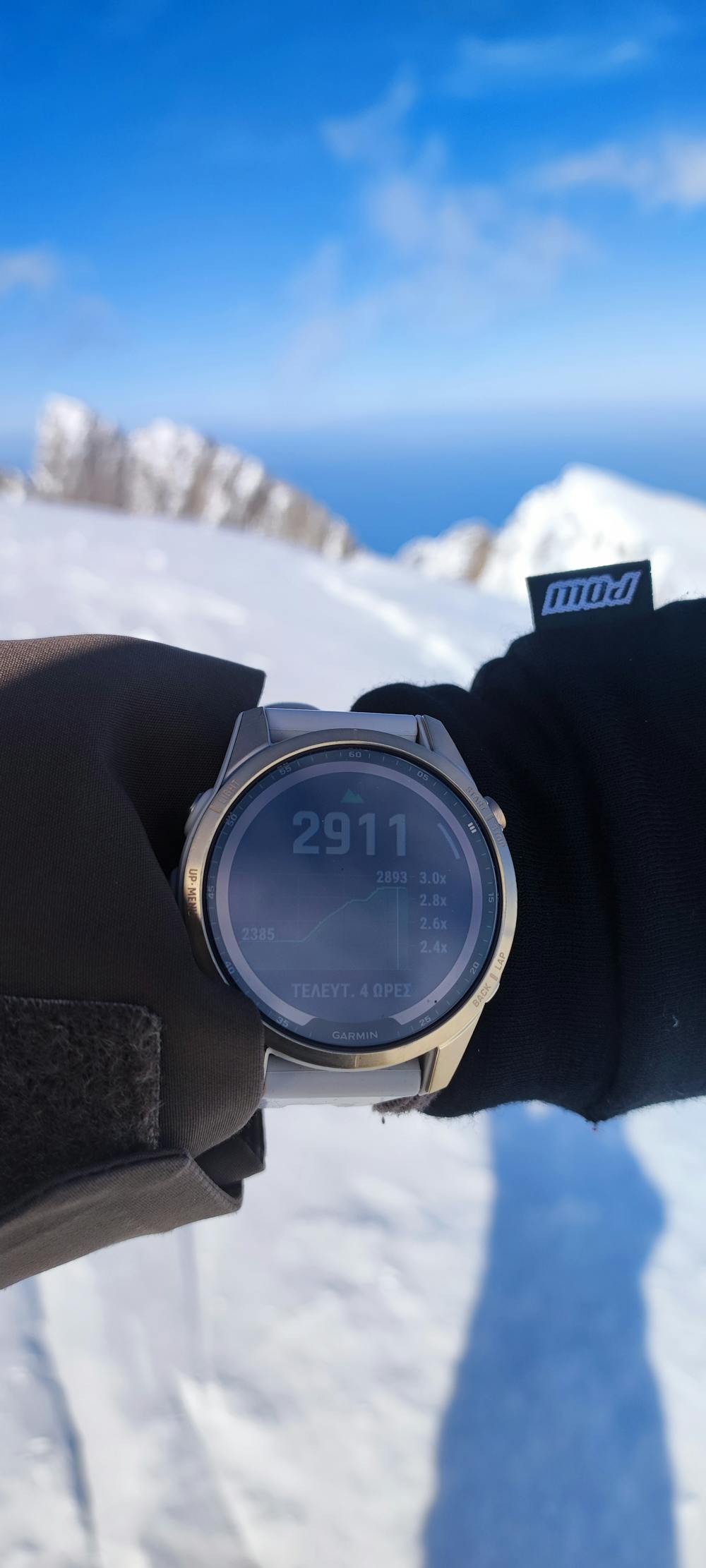
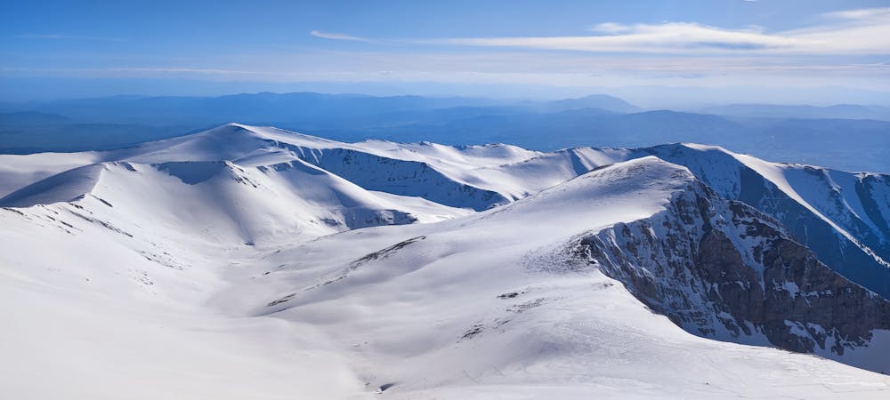
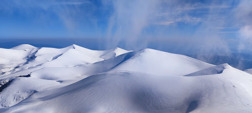
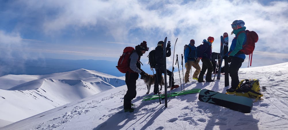
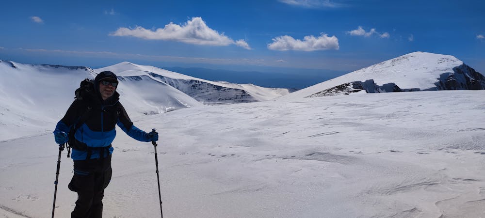
Skolio Peak 2911m Mt. Olympus
From Kserolaki to Skolio
Ski Touring Moderate
- Distance
- 15 km
- Ascent
- 1.4 km
- Descent
- 1.4 km
- Duration
- 7-8 hrs
- Low Point
- 1.6 km
- High Point
- 2.9 km
- Gradient
- 31˚

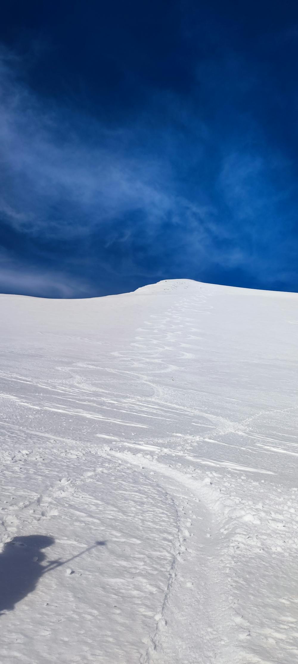
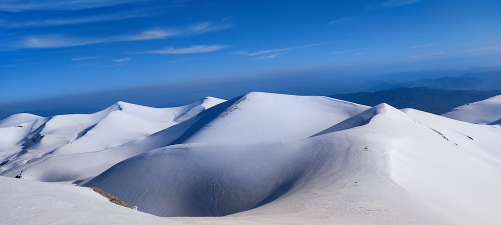
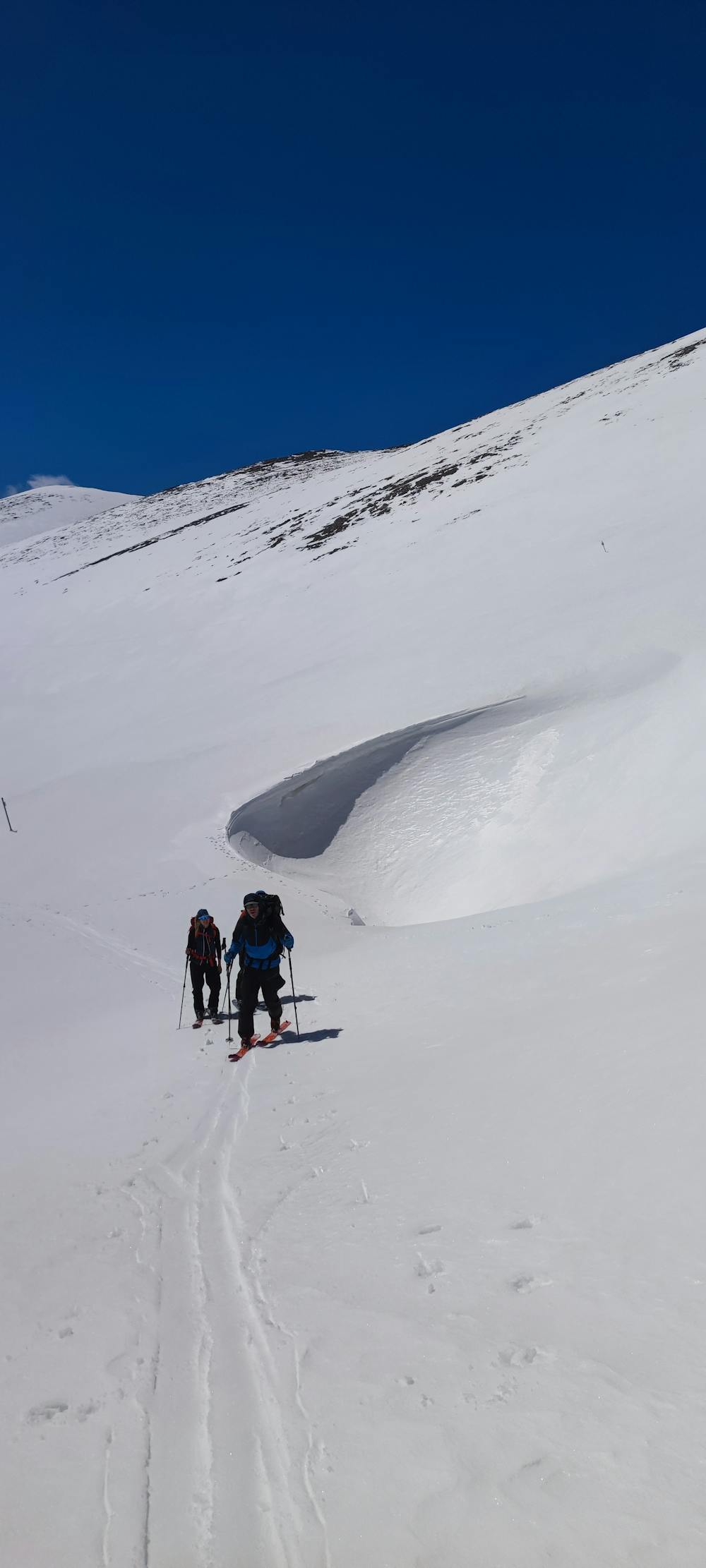
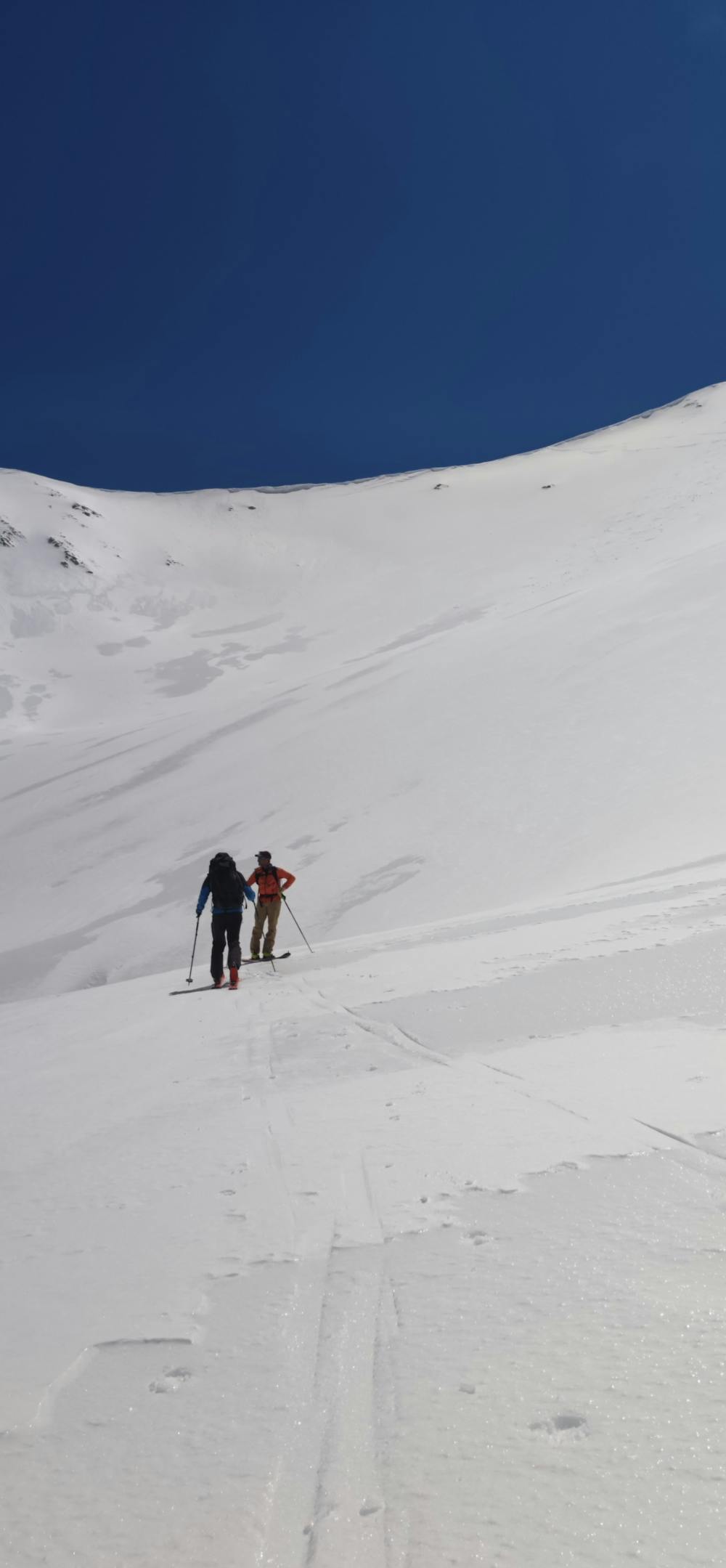
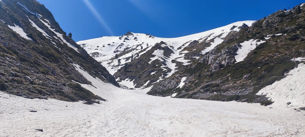
This is a popular ski touring route which is generally considered to be moderate. It's extremely remote, it features medium exposure (e2) and is typically done between January and May. From a low point of 1.6 km to the maximum altitude of 2.9 km, the route covers 15 km, 1351 vertical metres of ascent and 1362 vertical metres of descent. It's graded 3.1 and Labande grade 3. You'll need skins and crampons to complete it safely.
- •
- •
- •
- •
- •
- •
- •
- •
- •
- •
- •
- •
- •
- •
- •
Description
From Kserolaki to Skolio
Difficulty
Moderate
Slopes become slightly steeper at around 25-30 degrees.
Medium Exposure (E2)

As well as the slope itself, there are some obstacles (such as rock outcrops) which could aggravate injury.
Remoteness

In the high mountains or remote conditions, all individuals must be completely autonomous in every situation.
Best time to visit
Features
- Bowl
Equipment required
- Skins
- Crampons