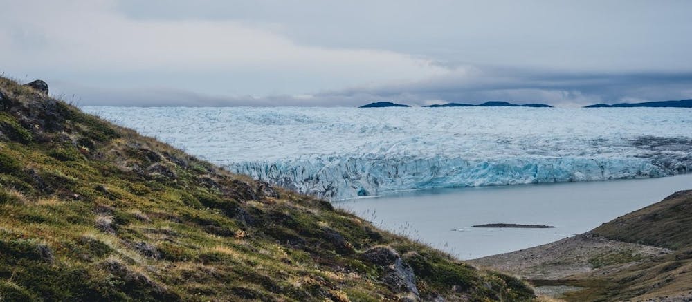
Exped Tribe: Arctic Circle Trail Weitwanderung
Arktisch, Wild, Unglaublich!
Hiking Difficult
- Distance
- 244 km
- Ascent
- 3.8 km
- Descent
- 3.8 km
- Duration
- 1 day +
- Low Point
- 7 m
- High Point
- 518 m
- Gradient
- 6˚

This is a popular hiking route which is generally considered to be difficult. It's very remote, it features low exposure and is typically done between July and September. From a low point of 7 m to the maximum altitude of 518 m, the route covers 244 km, 3837 vertical metres of ascent and 3839 vertical metres of descent.
Description
Ein unglaublicher Weitwanderweg, der eine Strecke von 230 km zurücklegt und inmitten fantastischer Natur verläuft! Komm mit auf Expeditionstrekking nach Grönland, melde dich hier an: https://www.expedtribe.com/en/Expeditiontrips-Greenland
Difficulty
Difficult
Hiking trails where obstacles such as rocks or roots are prevalent. Some obstacles can require care to step over or around. At times, the trail can be worn and eroded. The grade of the trail is generally quite steep, and can often lead to strenuous hiking.
Low Exposure

The path is on completely flat land and potential injury is limited to falling over.
Remoteness

Little chance of being seen or helped in case of an accident.
Best time to visit
Features
- Wildlife
- Picturesque
- Wild flowers
- Water features
- Forestry or heavy vegetation