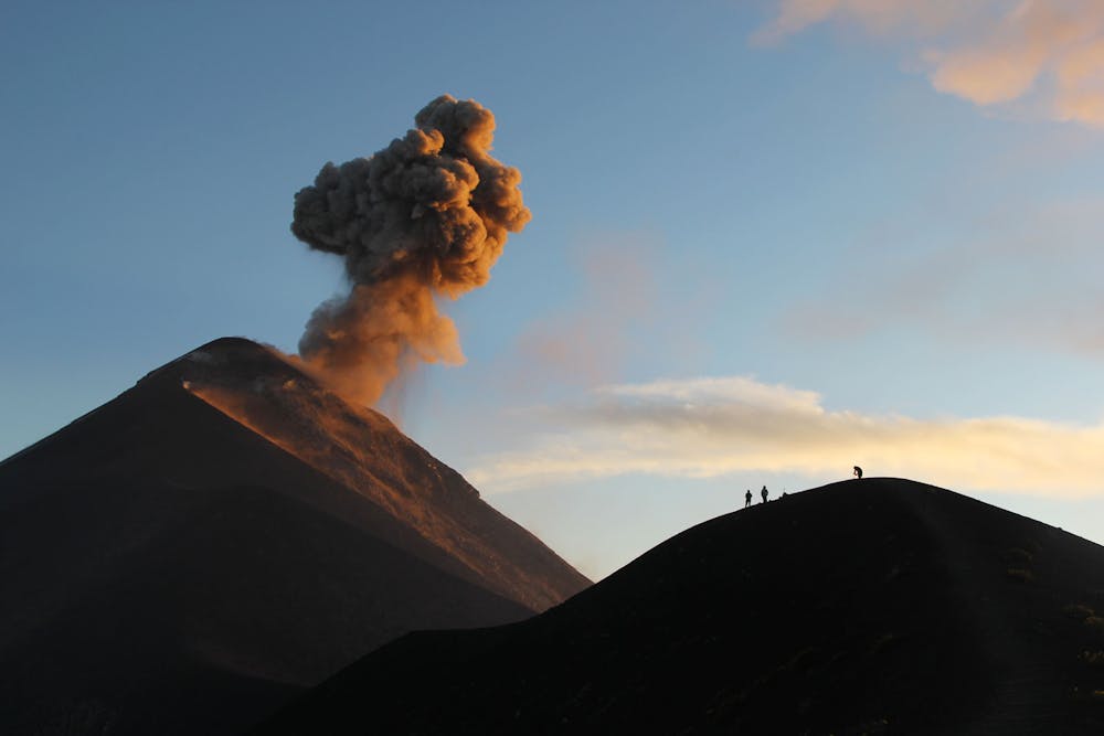
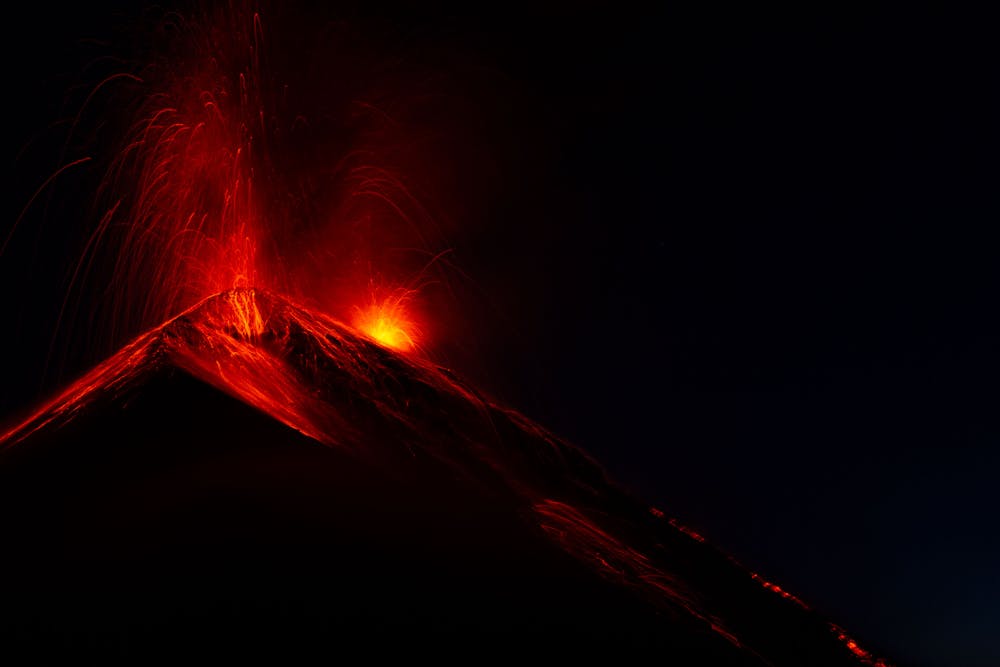
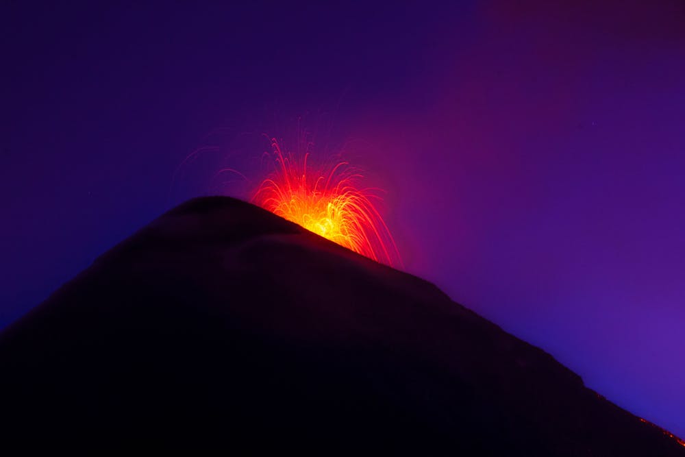
Volcan Acatenango + Volcan de Fuego
2 day hike (Day 1: camp + volcano de Fuego; Day 2: summit and descent)
Hiking Moderate
- Distance
- 21 km
- Ascent
- 2.2 km
- Descent
- 2.2 km
- Duration
- 7-8 hrs
- Low Point
- 2.4 km
- High Point
- 4 km
- Gradient
- 20˚

This is a popular hiking route which is generally considered to be moderate. It's remote, it features medium exposure and is typically done between November and March. From a low point of 2.4 km to the maximum altitude of 4 km, the route covers 21 km, 2238 vertical metres of ascent and 2239 vertical metres of descent.
- •
- •
- •
Description
2 day hike (camping), hot days and cold nights. Summit starts at 4am. Volcan de Fuego is optional and ads 3 hours to the hike during the first day.
Difficulty
Moderate
Hiking along trails with some uneven terrain and small hills. Small rocks and roots may be present.
Medium Exposure

The trail contains some obstacles such as outcroppings and rock which could cause injury.
Remoteness
Away from help but easily accessed.
Best time to visit
Features
- Picturesque
- Summit Hike
- Dog friendly
- Wild flowers