Reconocimiento Aguacapa
Saliendo de la entrada a Olmeca y terminando en Taxisco
Also in Guatemala, Guatemala
Mountain Biking Difficult
- Distance
- 94 km
- Ascent
- 1.3 km
- Descent
- 2.9 km
- Duration
- 6-7 hrs
- Low Point
- 22 m
- High Point
- 1.9 km
- Gradient
- 7˚
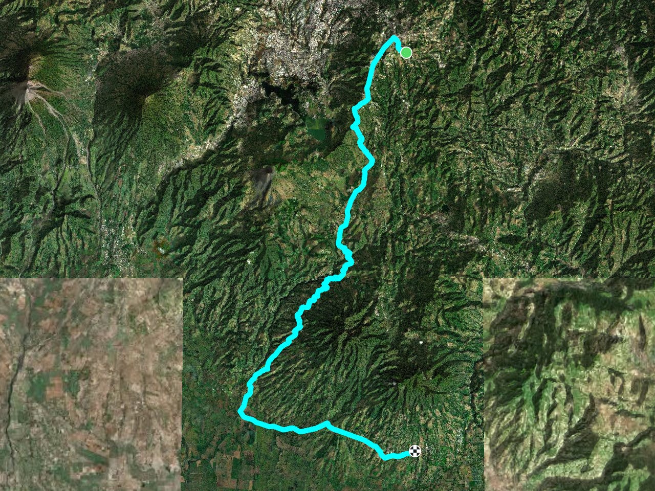
This is a popular mountain biking route which is generally considered to be difficult. It's remote, it features medium exposure and is typically done between October and May. From a low point of 22 m to the maximum altitude of 1.9 km, the route covers 94 km, 1329 vertical metres of ascent and 2943 vertical metres of descent.
Description
Excelente ruta al sur
Difficulty
Difficult
Mostly stable trail tread with some variability featuring larger and more unavoidable obstacles that may include, but not be limited to: bigger stones, roots, steps, and narrow curves. Compared to lower intermediate, technical difficulty is more advanced and grades of slopes are steeper. Ideal for upper intermediate riders.
Medium Exposure

The trail contains some obstacles such as outcroppings and rock which could cause injury.
Remoteness
Away from help but easily accessed.
Best time to visit
Features
- Singletrack
- Road sections