Balyvaughan Wood loop
County Clare
This loop starts in the village of Ballyvaughan - a walkers welcome town and takes you close to Aillwee Cave - the most famous of the ancient caves beneath the Burren.
Hiking Moderate
- Distance
- 8.9 km
- Ascent
- 68 m
- Descent
- 68 m
- Duration
- 1-2 hrs
- Low Point
- 3 m
- High Point
- 37 m
- Gradient
- 1˚

This is a popular hiking route which is generally considered to be moderate. It's not remote, it features medium exposure and is typically done all year round. From a low point of 3 m to the maximum altitude of 37 m, the route covers 8.9 km, 68 vertical metres of ascent and 68 vertical metres of descent.
Description
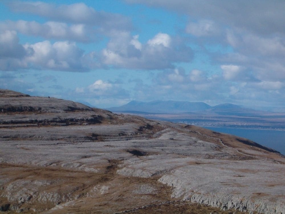
The Burren and its unfolding layers of limestone form terraces on the slopes of the hills and the area has been described as a ‘lunar’ landscape.
Difficulty
Moderate
Hiking along trails with some uneven terrain and small hills. Small rocks and roots may be present.
Medium Exposure

The trail contains some obstacles such as outcroppings and rock which could cause injury.
Remoteness

Close to help in case of emergency.
Best time to visit
Features
- Wildlife
- Picturesque
- Wild flowers