Heceta Head Lighthouse
One of the most scenic lighthouses on the Oregon Caost.
Hiking Easy
- Distance
- 1.5 km
- Ascent
- 69 m
- Descent
- 69 m
- Duration
- 0-1 hrs
- Low Point
- 7 m
- High Point
- 60 m
- Gradient
- 6˚

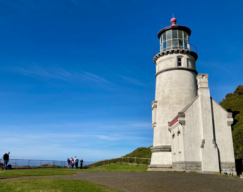
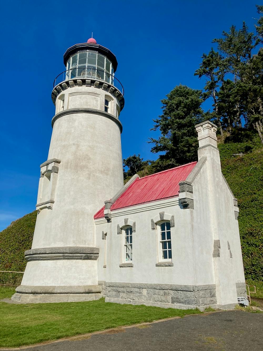
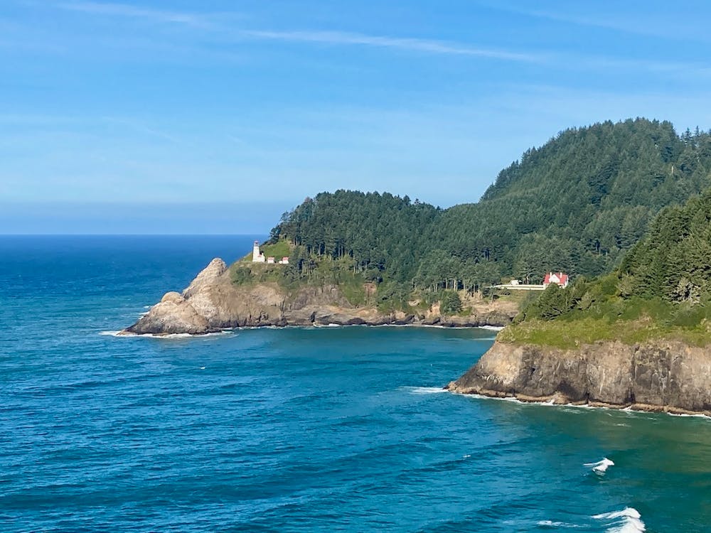
The 56-foot-tall Heceta Head Lighthouse is perched on a 205-foot-tall headland, overlooking the Pacific Ocean from a majestic height. Built in 1892, the lighthouse is home to a first order Fresnel lens that shines its light up to 24 miles out to sea, "making it the strongest light on the Oregon Coast,” according to Wikipedia.
- •
- •
- •
- •
Description
These days, the lighthouse is protected by an Oregon State Park (parking fee or state parks pass required), and tourists can enjoy a scenic one-mile round-trip hike to the lighthouse. While this path does gain over 200 feet of elevation, the wide, gravel path can be traversed by most anybody.
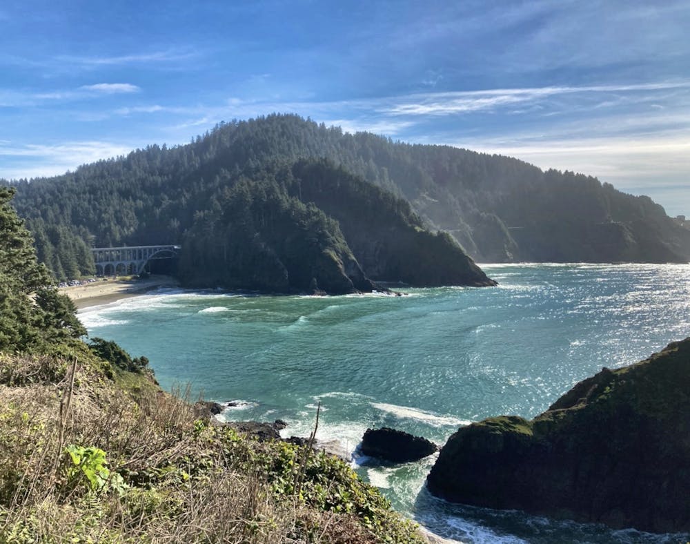
Along the way, you’ll get a quick taste of the lush rain forest covering Oregon’s Coast Range. After breaking out of the trees, you’ll enjoy stunning views of the lighthouse ahead and incredible vistas up and down the Oregon Coast. Be sure to bring your camera—you’ll definitely have to snap a few photos!
As an added bonus, there’s a beautiful sand beach located right next to the parking lot, so you can easily combine your hike to the lighthouse with an afternoon spent enjoying the Pacific Ocean.
Sources: https://en.wikipedia.org/wiki/HecetaHeadLight https://www.hecetalighthouse.com/
Difficulty
Easy
Walking along a well-kept trail that’s mostly flat. No obstacles are present.
Low Exposure

The path is on completely flat land and potential injury is limited to falling over.
Remoteness
Close to help in case of emergency.
Best time to visit
Features
- Historical
- Picturesque
- Water features
- Family friendly