TCT - Tinos Coastline Trail
Exploring idea of a wild trail around Tinos Coastline. For planning purposes only.
Hiking Extreme
- Distance
- 101 km
- Ascent
- 3.6 km
- Descent
- 3.6 km
- Duration
- 1 day +
- Low Point
- 0 m
- High Point
- 306 m
- Gradient
- 11˚

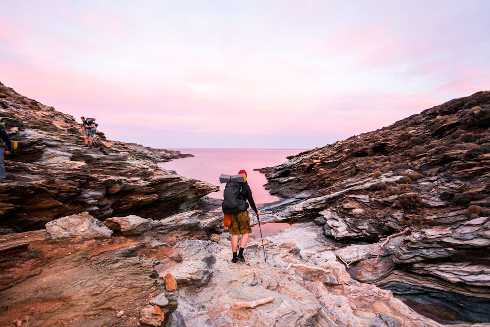
This is a popular hiking route which is generally considered to be extreme. It's very remote, it features high exposure and is typically done between September and April. From a low point of 0 m to the maximum altitude of 306 m, the route covers 101 km, 3551 vertical metres of ascent and 3551 vertical metres of descent.
Description
Not a public trail. Always follow guide instructions when outdoors. Get in touch at @letshike.co
Difficulty
Extreme
Scrambling up mountains and along technical trails with moderate fall exposure. Handholds are necessary to navigate the trail in its entirety, although they are not necessary at all times. Some obstacles can be very large and difficult to navigate, and the grades can often be near-vertical. The challenge of the trail and the steepness of the grade results in very strenuous hiking. Hikes of this difficulty blur the lines between "hiking" and "climbing".
High Exposure

Some trail sections have exposed ledges or steep ascents/descents where falling could cause serious injury.
Remoteness
Little chance of being seen or helped in case of an accident.
Best time to visit
Features
- Wildlife
- Historical
- Picturesque
- Wild flowers
- Water features