4.2 km away
Cadillac Mountain Summit Loop
A short summit hike atop the highest peak in Acadia National Park.
Moderate Hiking
- Distance
- 614 m
- Ascent
- 23 m
- Descent
- 23 m
Hit all the main peaks on the eastern side of Acadia National Park on this loop route.
Hiking Difficult

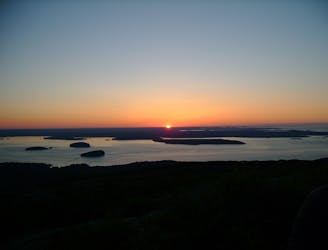
This is a popular hiking route which is generally considered to be difficult. It's an unknown remoteness, it features unknown exposure and is typically done in an unknown time of year. From a low point of 1 m to the maximum altitude of 462 m, the route covers 53 km, 2723 vertical metres of ascent and 2723 vertical metres of descent.
This route was designed to hit all the main peaks on the eastern side of Acadia National Park, removing a kayak crossing and tidal challenges for a full island crossing, and completes a full loop back into town.
Difficult
Hiking trails where obstacles such as rocks or roots are prevalent. Some obstacles can require care to step over or around. At times, the trail can be worn and eroded. The grade of the trail is generally quite steep, and can often lead to strenuous hiking.
4.2 km away
A short summit hike atop the highest peak in Acadia National Park.
Moderate Hiking
4.5 km away
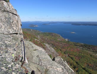
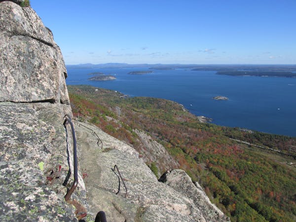
Climb up metal ladders in cliffsides and skirt along exposed rock ledges on this death-defying hike!
Extreme Hiking
6.3 km away
A scenic coastal hike with expansive views and the ruins of a historic tea house.
Moderate Hiking
6.4 km away
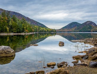
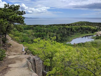
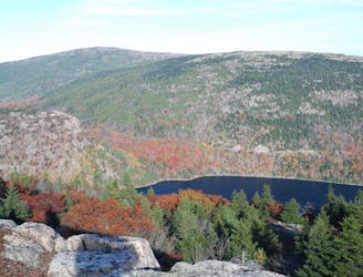
A circuit including North Bubble, South Bubble, and Conners Nubble - with impressive views from each.
Moderate Hiking
6.6 km away
The easiest "rung and ladder" trail known for its stunning views and cliffside exposure.
Severe Hiking
8 km away
A summit loop over Gorham Mountain known for its expansive oceanside views and rocky shoreline.
Difficult Hiking
8.5 km away
A challenging and incredibly scenic day hike with "iron rungs and ladders" along Jordan Cliffs and Penobscot Mountain.
Severe Hiking

25 routes · Alpine Climbing · Hiking

10 routes · Hiking
13 routes · Hiking
4 routes · Hiking

63 routes · Alpine Climbing · Hiking