2.1 km away
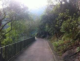
Victoria Peak Loop

A gentle walk with world-famous views of Hong Kong
Easy Hiking
- Distance
- 3.5 km
- Ascent
- 213 m
- Descent
- 213 m
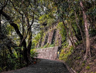
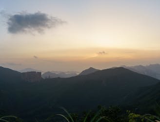
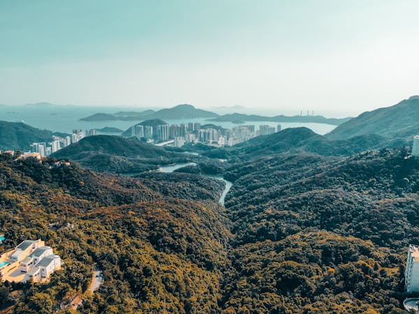
Summit hike to West peak and then Mt Austin
Hiking Difficult

This is a popular hiking route which is generally considered to be difficult. It's not remote, it features medium exposure and is typically done all year round. From a low point of 47 m to the maximum altitude of 509 m, the route covers 16 km, 1102 vertical metres of ascent and 1003 vertical metres of descent.
West Peak- not an easy hike, some parts off road, then climbing up Mt. Austin, then ending at Hatton rd. Very fun
Difficult
Hiking trails where obstacles such as rocks or roots are prevalent. Some obstacles can require care to step over or around. At times, the trail can be worn and eroded. The grade of the trail is generally quite steep, and can often lead to strenuous hiking.

The trail contains some obstacles such as outcroppings and rock which could cause injury.

Close to help in case of emergency.
2.1 km away
A gentle walk with world-famous views of Hong Kong
Easy Hiking
2.5 km away
A prefect hike for a quick getaway from the city
Moderate Hiking
5.6 km away
An accessible walk with incredible city views
Easy Hiking
7.1 km away
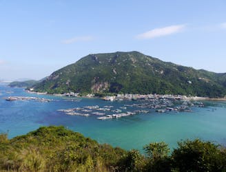
A peaceful journey across a tranquil island.
Moderate Hiking
7.1 km away
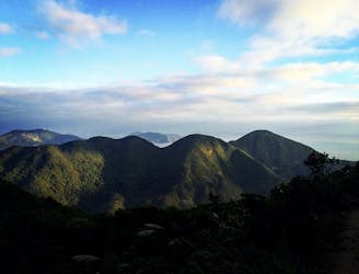
Often referred to as The Twins, this short and sharp hike takes you over three hills and up more than 1,200 steps for breathtaking views of the island’s south side.
Difficult Hiking
7.1 km away
A perfect hike filled with history, amazing stair climbs, and diverse views
Difficult Hiking
7.3 km away
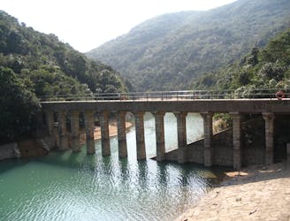
A beautiful downhill walk past historic reservoirs.
Easy Hiking
8 km away
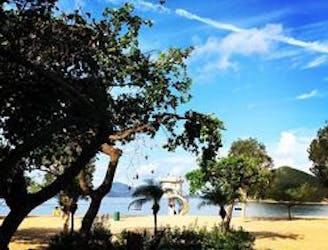
A leisurely waterfront stroll bookended by beaches.
Easy Hiking
8.7 km away
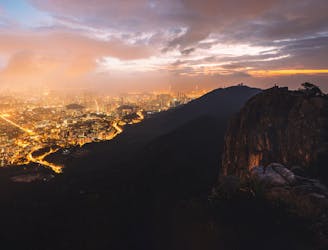
An exciting hike with an epic stair climb through lush forest followed by arguably the best city views of Hong Kong
Difficult Hiking

6 routes · Hiking
8 routes · Hiking