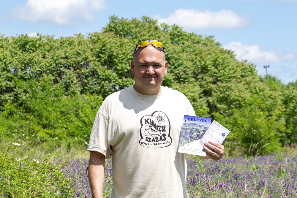
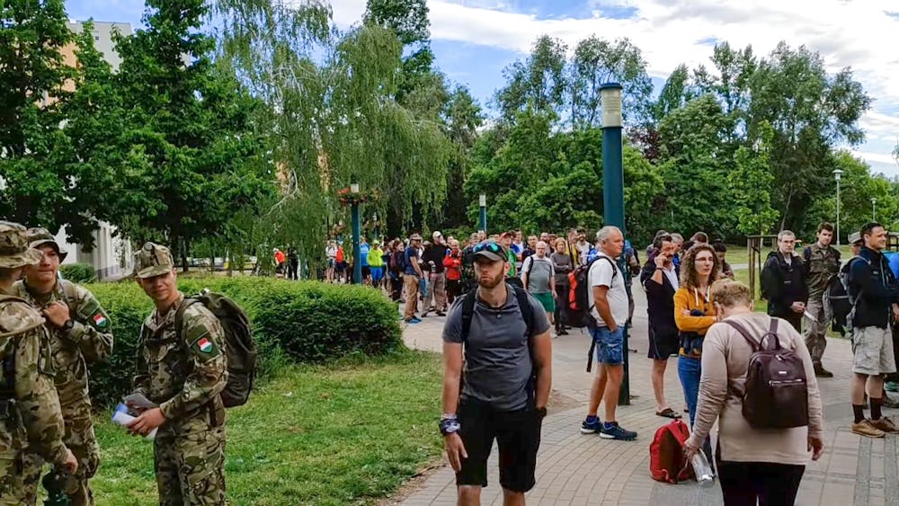
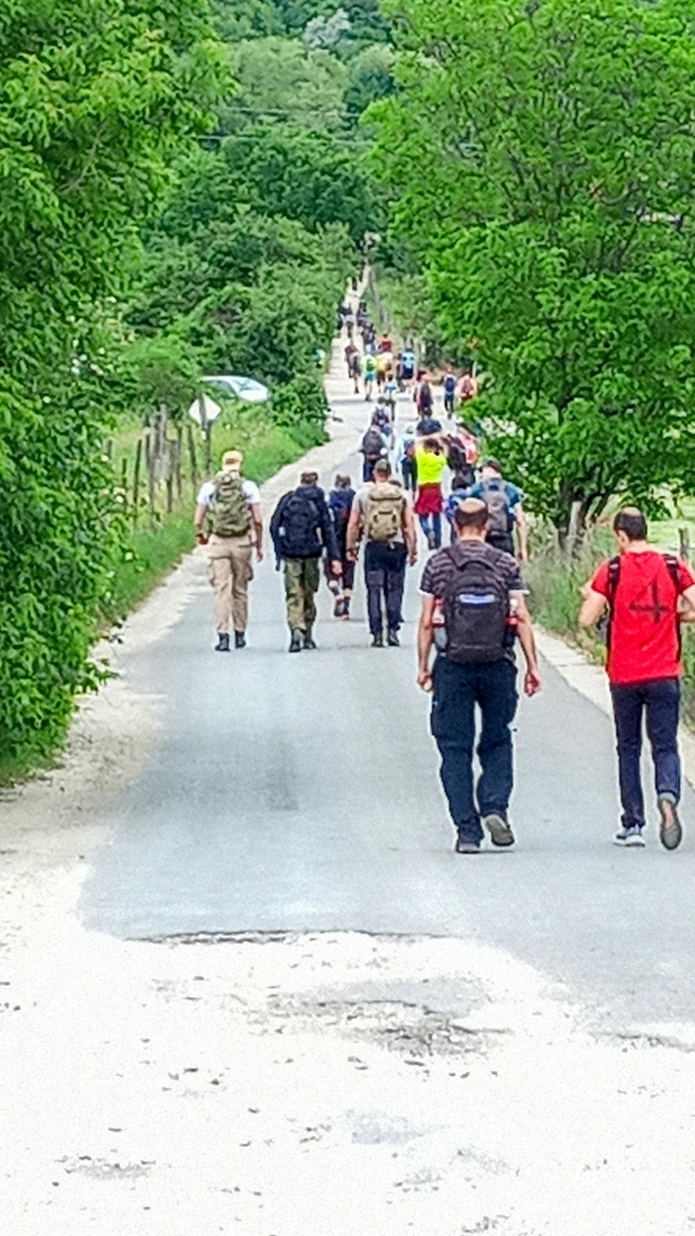
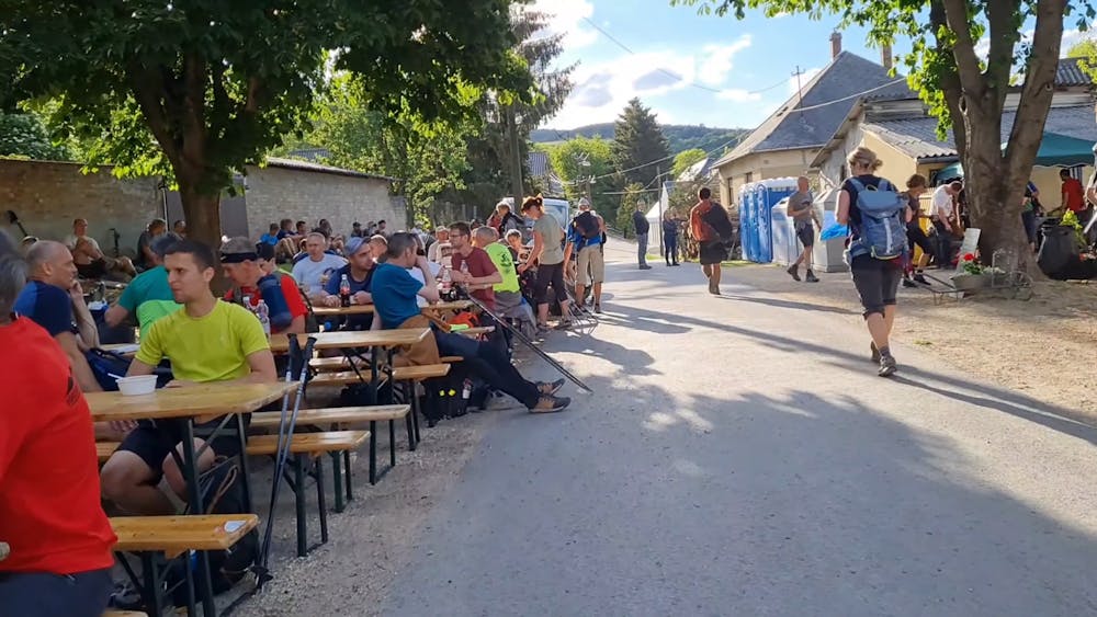
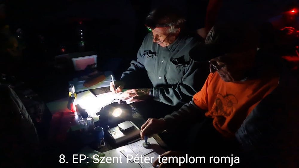
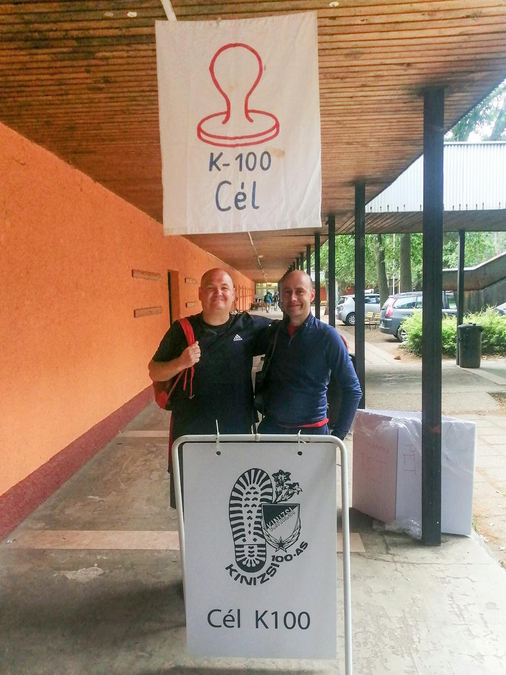
Kinizsi Százas TT 2022
100km túra 24 óra alatt
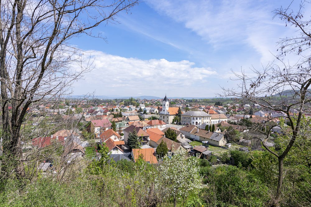
Also in Budapest, Hungary • Komárom-Esztergom, Hungary
Hiking Severe
- Distance
- 99 km
- Ascent
- 2.9 km
- Descent
- 2.9 km
- Duration
- 1 day +
- Low Point
- 107 m
- High Point
- 710 m
- Gradient
- 9˚

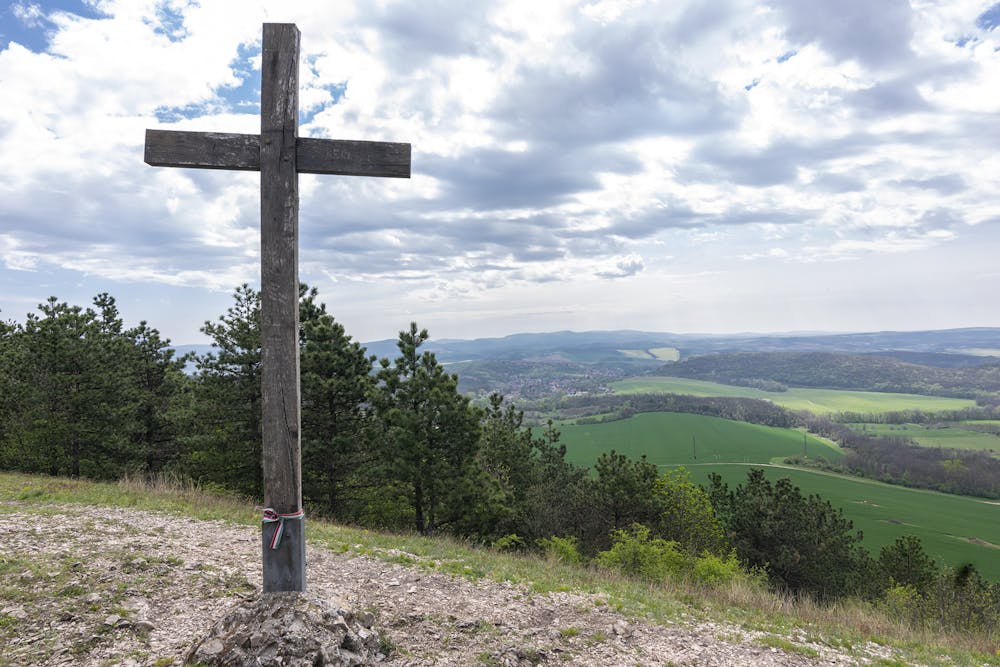
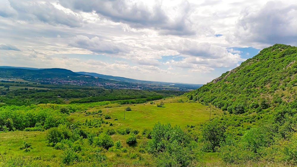
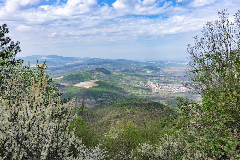
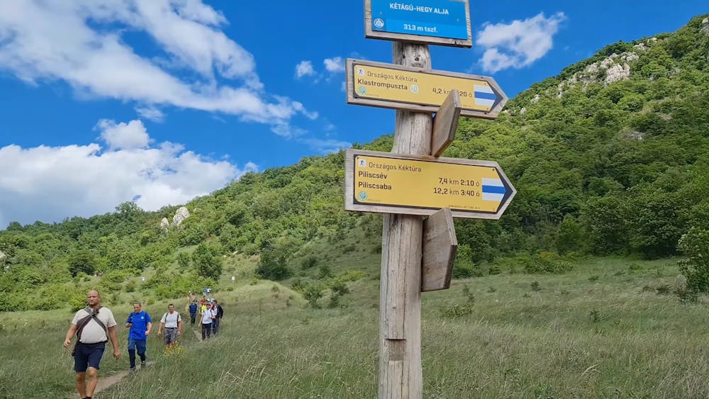
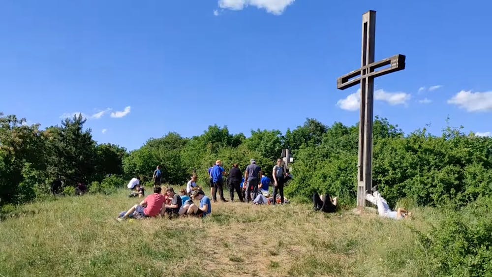
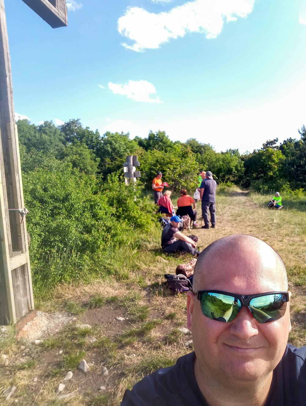
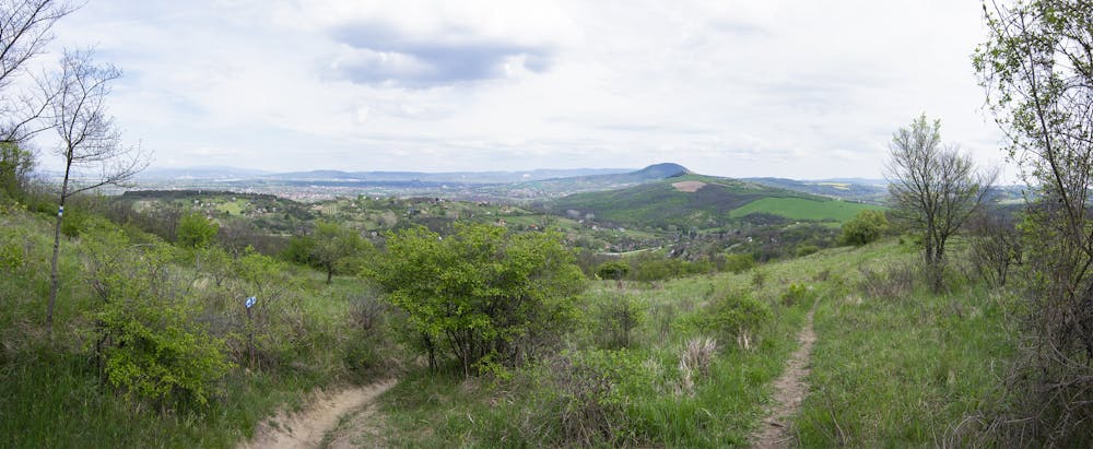
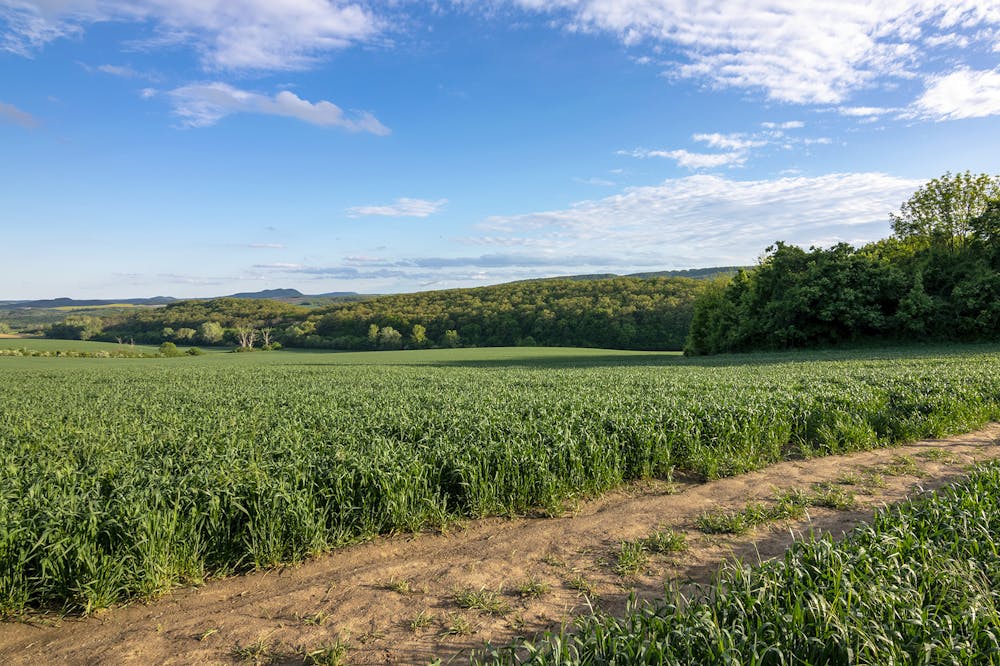
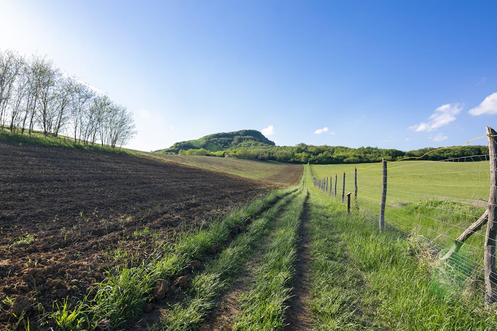
This is a popular hiking route which is generally considered to be severe. It's not remote, it features medium exposure and is typically done all year round. From a low point of 107 m to the maximum altitude of 710 m, the route covers 99 km, 2936 vertical metres of ascent and 2907 vertical metres of descent.


- •
- •
- •
- •
- •
- •
- •
- •
- •
- •
- •
- •
- •
- •
- •
- •
- •
- •
- •
- •
- •
- •
- •
- •
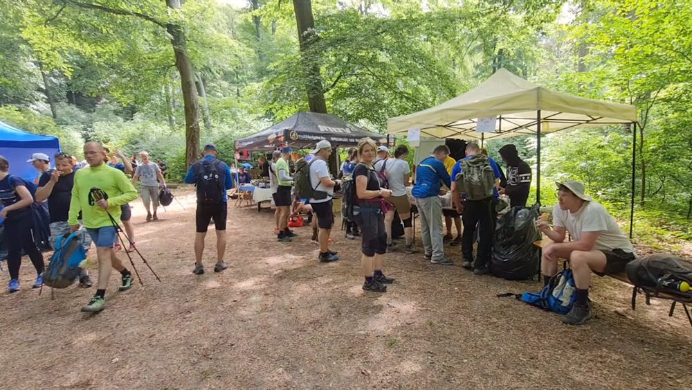
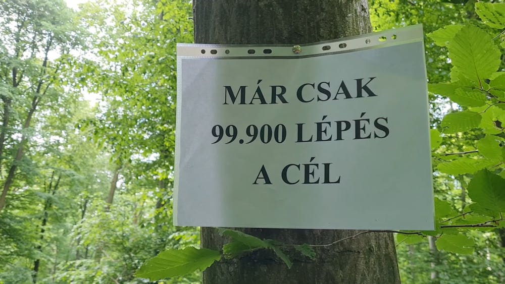
Description
K100 TT 2022
Difficulty
Severe
Hiking challenging trails where simple scrambling, with the occasional use of the hands, is a distinct possibility. The trails are often filled with all manner of obstacles both small and large, and the hills are very steep. Obstacles and challenges are often unexpected and can be unpredictable.
Medium Exposure

The trail contains some obstacles such as outcroppings and rock which could cause injury.
Remoteness

Close to help in case of emergency.
Best time to visit
Features
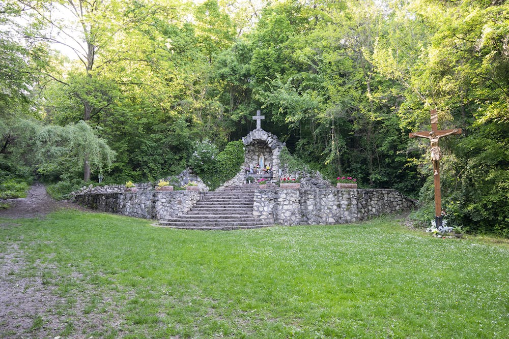
- Wildlife
- Picturesque
- Dog friendly
- Wild flowers
- Water features
- Family friendly
- Forestry or heavy vegetation