Országos Kéktúra - 7. szakasz
Országos Kéktúra - 7. szakasz
Hiking Easy
- Distance
- 25 km
- Ascent
- 620 m
- Descent
- 576 m
- Duration
- 6-7 hrs
- Low Point
- 232 m
- High Point
- 600 m
- Gradient
- 6˚

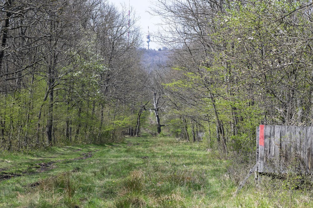
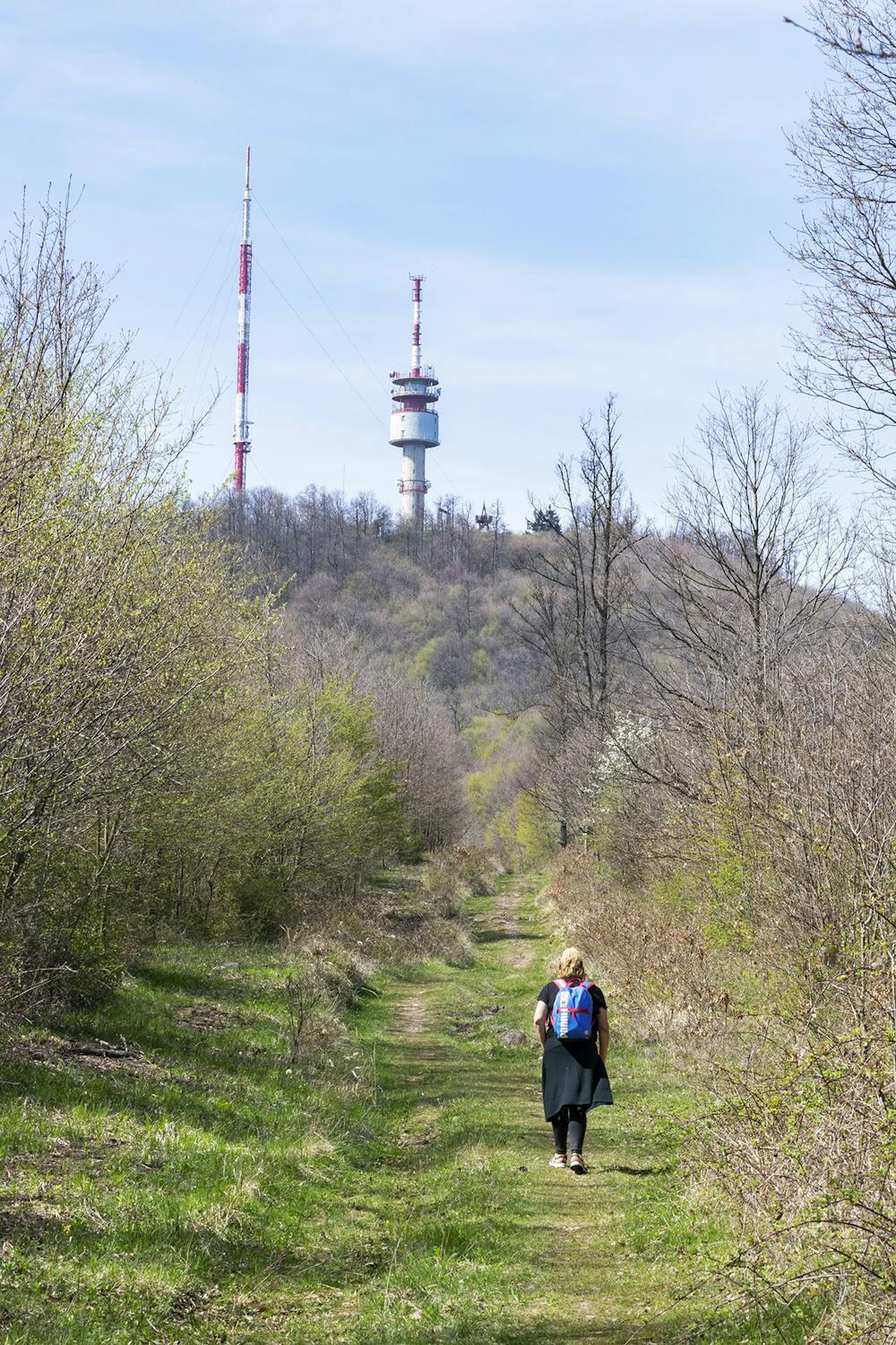
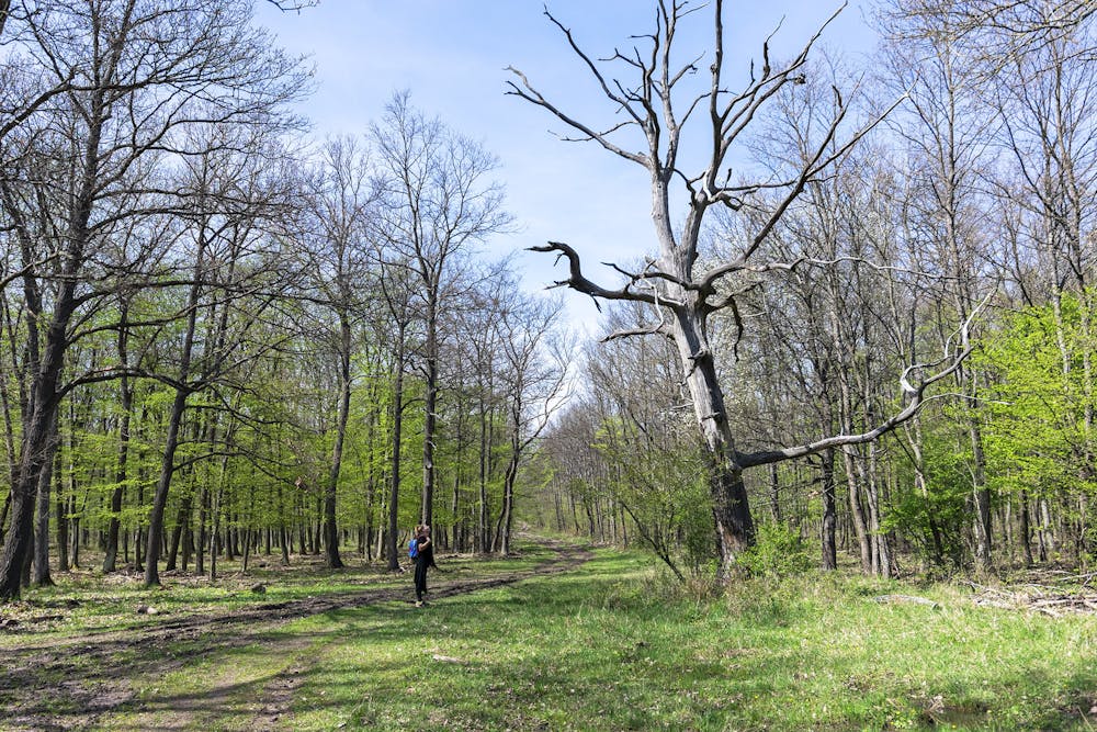
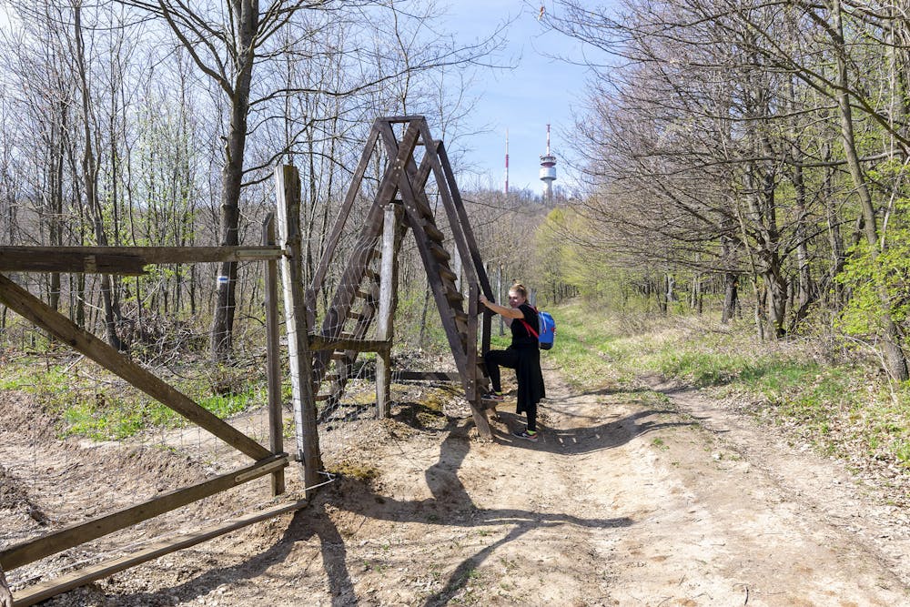
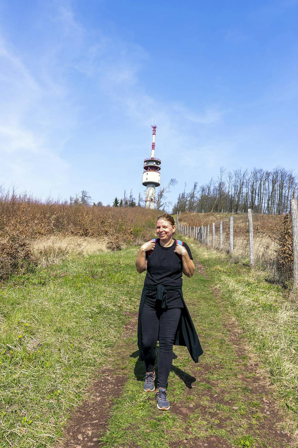
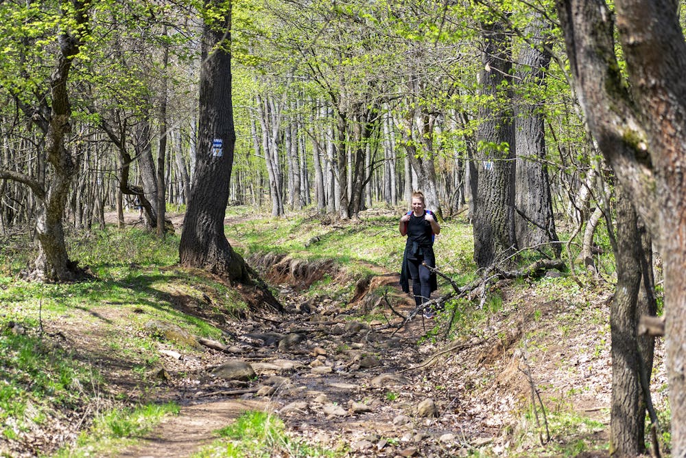
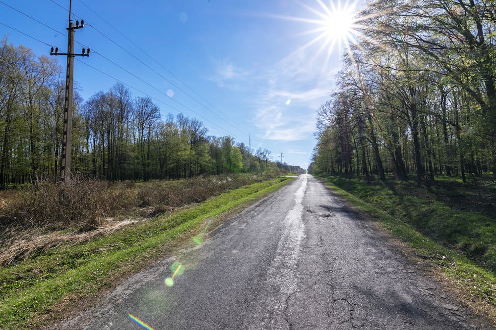
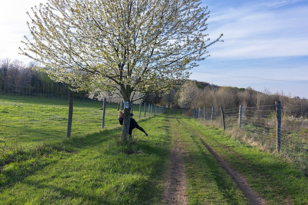
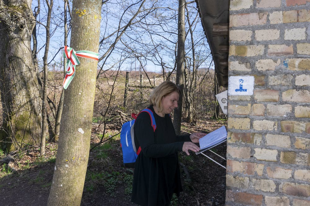
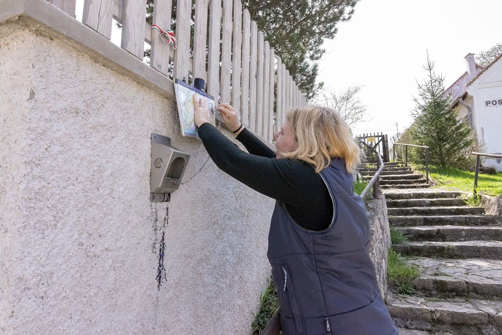
This is a popular hiking route which is generally considered to be easy. It's not remote, it features low exposure and is typically done all year round. From a low point of 232 m to the maximum altitude of 600 m, the route covers 25 km, 620 vertical metres of ascent and 576 vertical metres of descent.
- •
- •
- •
- •
- •
- •
- •
- •
- •
- •
- •
- •
- •
- •
- •
- •
- •
- •
Description
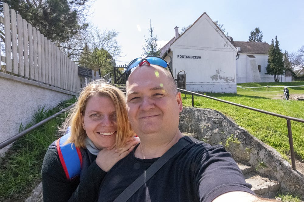
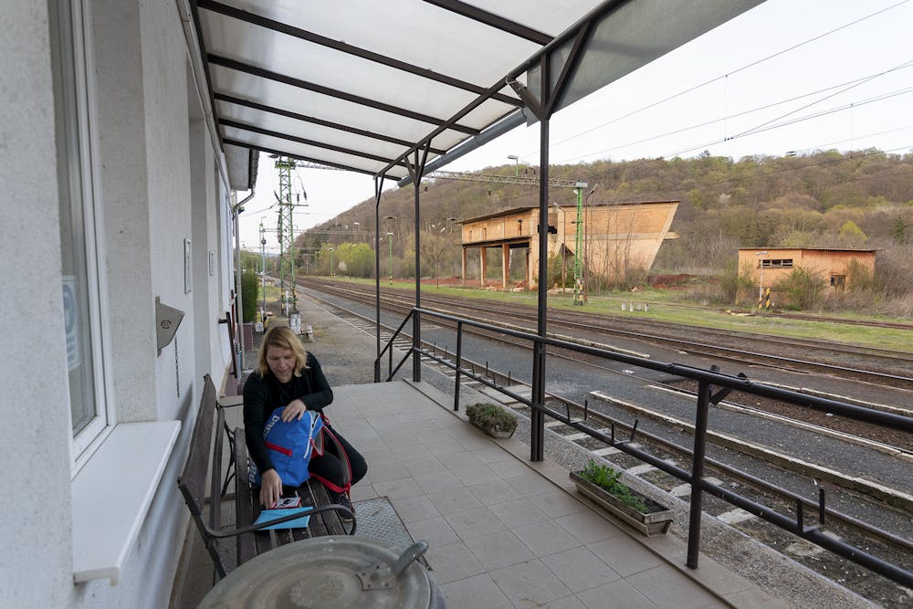
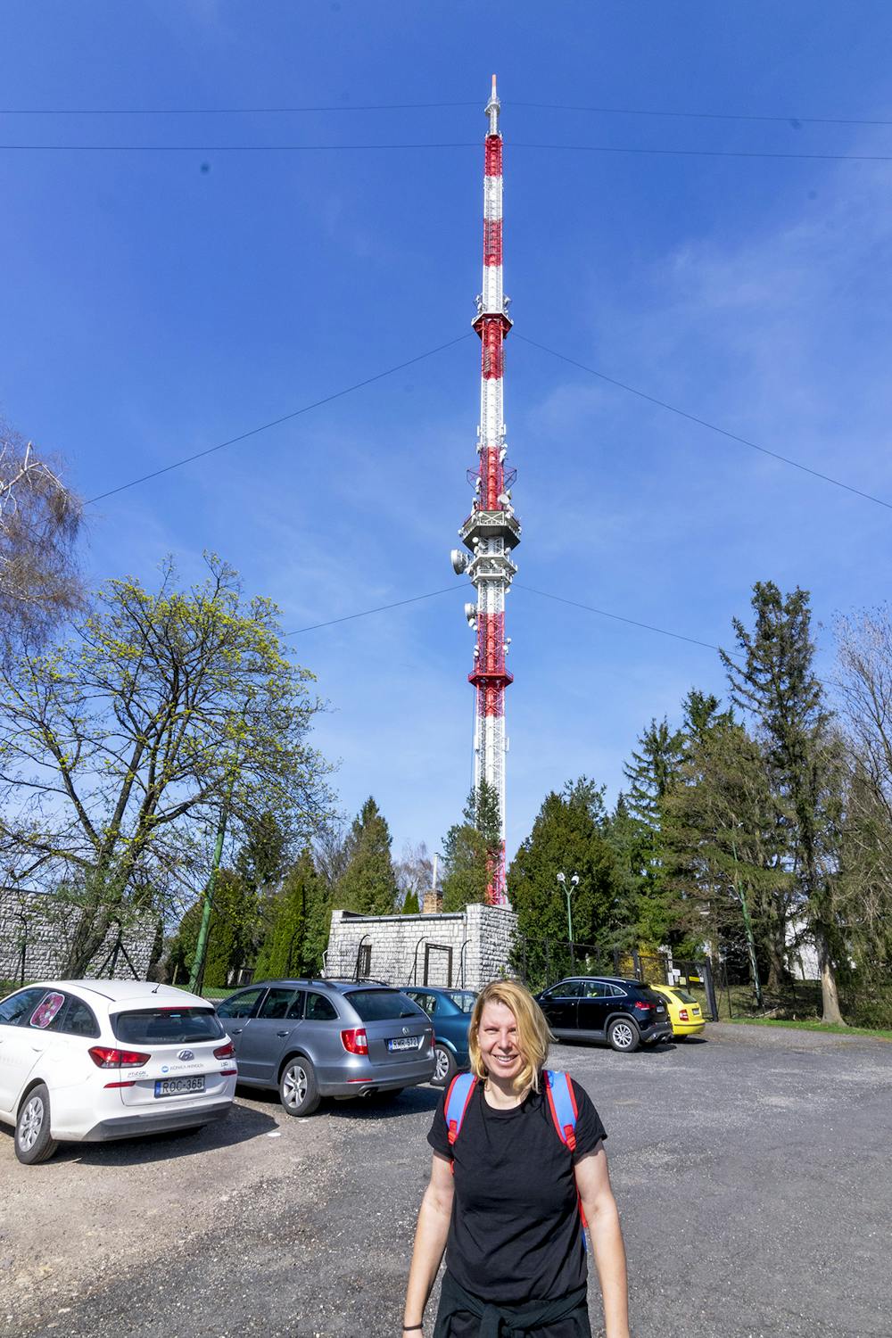
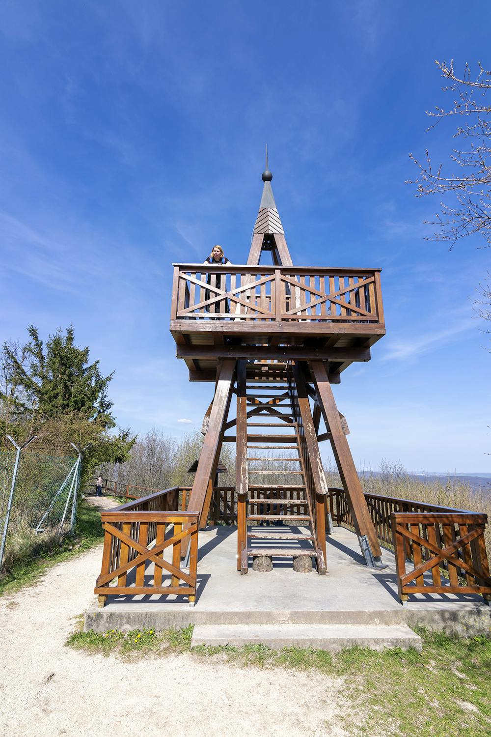
Nagyvázsony - Kab-hegy - Úrkút - Városlőd (Közép-Dunántúl régió)
Difficulty
Easy
Walking along a well-kept trail that’s mostly flat. No obstacles are present.
Low Exposure

The path is on completely flat land and potential injury is limited to falling over.
Remoteness
Close to help in case of emergency.
Best time to visit
Features
- Wildlife
- Picturesque
- Dog friendly
- Wild flowers
- Family friendly
- Forestry or heavy vegetation